MyTopo
Creston Junction Wyoming US Topo Map
Couldn't load pickup availability
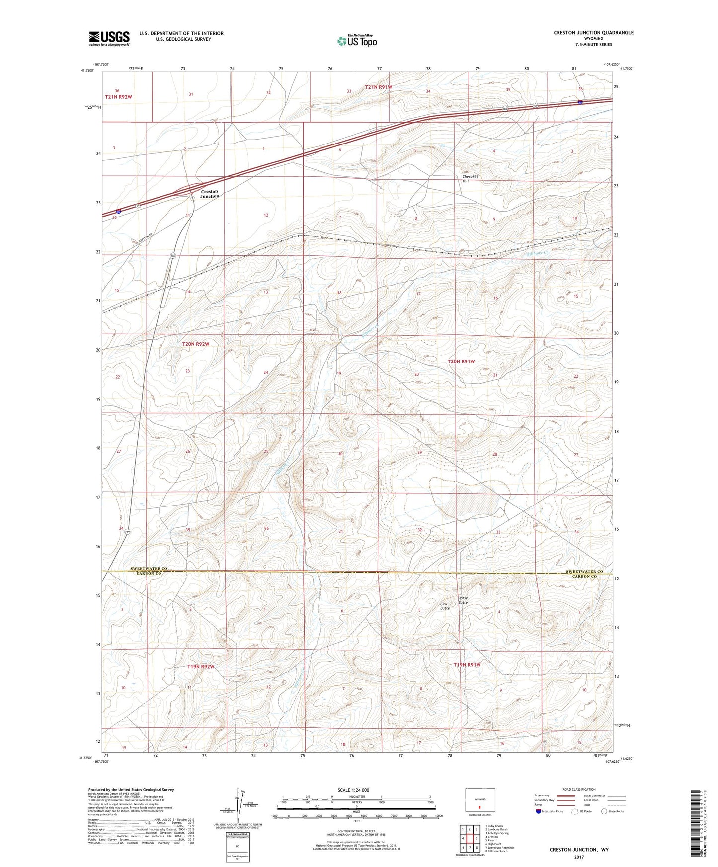
2021 topographic map quadrangle Creston Junction in the state of Wyoming. Scale: 1:24000. Based on the newly updated USGS 7.5' US Topo map series, this map is in the following counties: Sweetwater, Carbon. The map contains contour data, water features, and other items you are used to seeing on USGS maps, but also has updated roads and other features. This is the next generation of topographic maps. Printed on high-quality waterproof paper with UV fade-resistant inks.
Quads adjacent to this one:
West: Creston
Northwest: Ruby Knolls
North: Jawbone Ranch
Northeast: Antelope Spring
East: Riner
Southeast: Fillmore Ranch
South: Seaverson Reservoir
Southwest: High Point
This map covers the same area as the classic USGS quad with code o41107f6.
Contains the following named places: 44 Ranch, Cherokee, Cherokee Hill, Cherokee Mine, Cherokee Mine Number 1, Cherokee Project Number One Mine, Cherokee Project Number Two Mine, Cow Butte, Creston Junction, Horse Butte