
MyTopo
Croton Wyoming US Topo Map
Couldn't load pickup availability
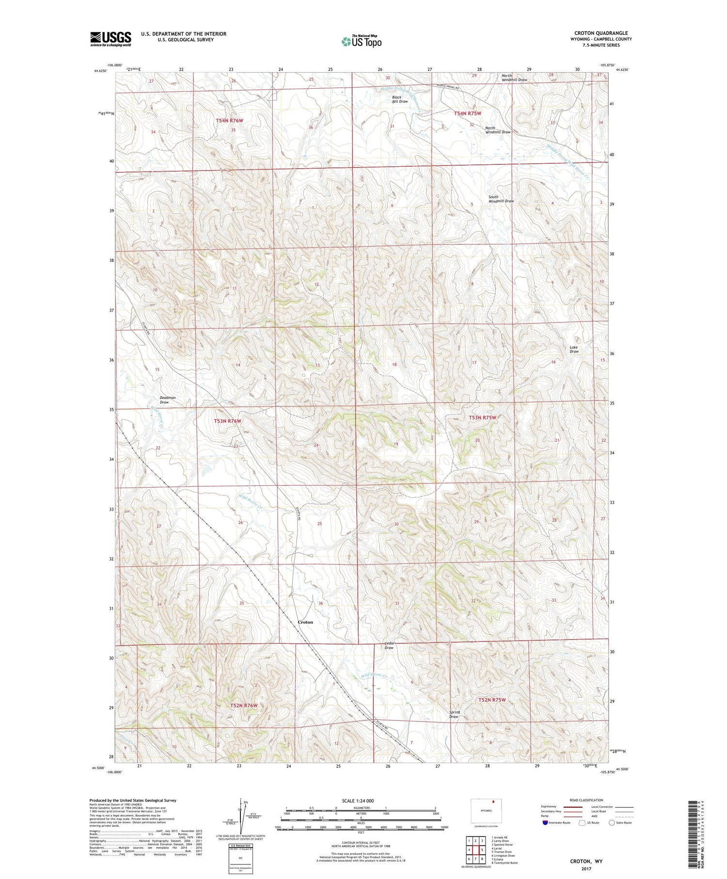
2021 topographic map quadrangle Croton in the state of Wyoming. Scale: 1:24000. Based on the newly updated USGS 7.5' US Topo map series, this map is in the following counties: Campbell. The map contains contour data, water features, and other items you are used to seeing on USGS maps, but also has updated roads and other features. This is the next generation of topographic maps. Printed on high-quality waterproof paper with UV fade-resistant inks.
Quads adjacent to this one:
West: Lariat
Northwest: Arvada NE
North: Larey Draw
Northeast: Spotted Horse
East: Truman Draw
Southeast: Twentymile Butte
South: Echeta
Southwest: Livingston Draw
Contains the following named places: Black Bill Draw, Cedar Draw, Croton, Deadman Draw, Jack Dam, Jack Reservoir, Lake Draw, Martin Mine, North Windmill Draw, South Windmill Draw, Spring Draw


