
MyTopo
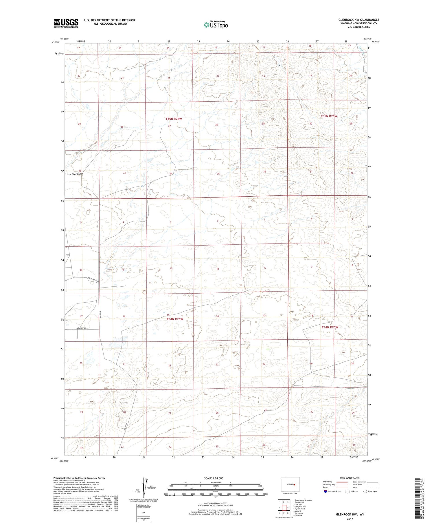
Glenrock NW Wyoming US Topo Map
Couldn't load pickup availability
2021 topographic map quadrangle Glenrock NW in the state of Wyoming. Scale: 1:24000. Based on the newly updated USGS 7.5' US Topo map series, this map is in the following counties: Converse. The map contains contour data, water features, and other items you are used to seeing on USGS maps, but also has updated roads and other features. This is the next generation of topographic maps. Printed on high-quality waterproof paper with UV fade-resistant inks.
Quads adjacent to this one:
West: Campbell Hill
Northwest: Beauchamp Reservoir
North: Gumbo Hill
Northeast: Coal Hill
East: Hylton Ranch
Southeast: Glenrock
South: Parkerton
Southwest: Lockett
Contains the following named places: Baker Stock Dam, Baker Stock Reservoir, C A A Building, East Dam, East Reservoir, Glenrock Division, Hyland Ranch, Lulu Dam, Lulu Reservoir, South Cole Creek Unit, Valentine Pit, V-Two Dam, V-Two Reservoir, West Dam, West Reservoir


