MyTopo
Parkerton Wyoming US Topo Map
Couldn't load pickup availability
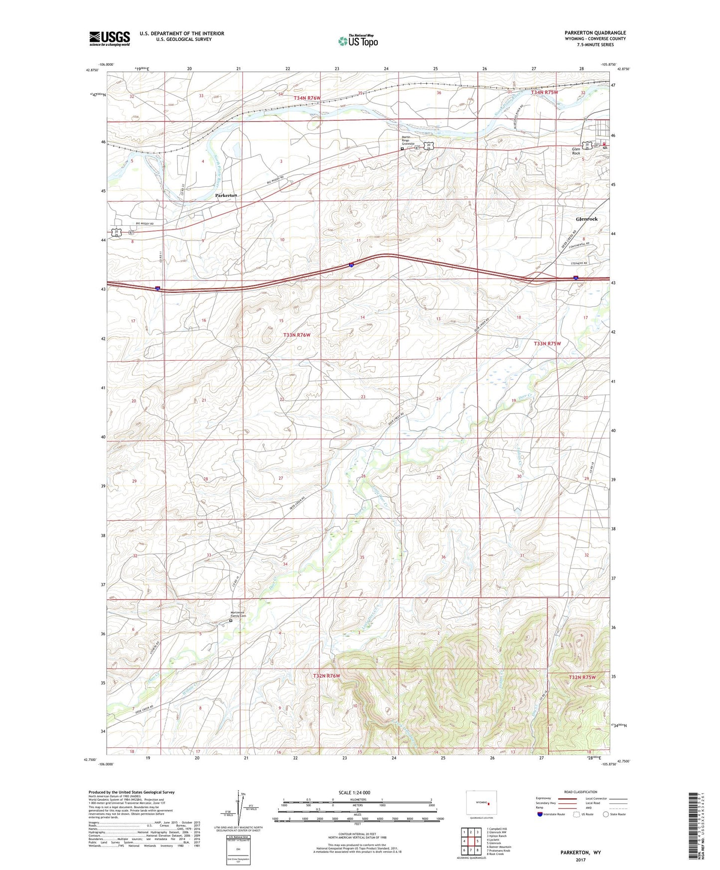
2021 topographic map quadrangle Parkerton in the state of Wyoming. Scale: 1:24000. Based on the newly updated USGS 7.5' US Topo map series, this map is in the following counties: Converse. The map contains contour data, water features, and other items you are used to seeing on USGS maps, but also has updated roads and other features. This is the next generation of topographic maps. Printed on high-quality waterproof paper with UV fade-resistant inks.
Quads adjacent to this one:
West: Lockett
Northwest: Campbell Hill
North: Glenrock NW
Northeast: Hylton Ranch
East: Glenrock
Southeast: Root Creek
South: Protsmans Knob
Southwest: Banner Mountain
This map covers the same area as the classic USGS quad with code o42105g8.
Contains the following named places: Big Muddy Oil Field, East Fork Little Deer Creek, Glen Rock, Glenrock Post Office, Glenrock Volunteer Fire Department, Indian Creek, Little Deer Creek, Martin Ringo Gravesite, Mormon Canyon Mine, Mortimore Family Cemetery, Parkerton, Pittman Pit, Willow Creek, ZIP Code: 82637