MyTopo
Grass Creek Wyoming US Topo Map
Couldn't load pickup availability
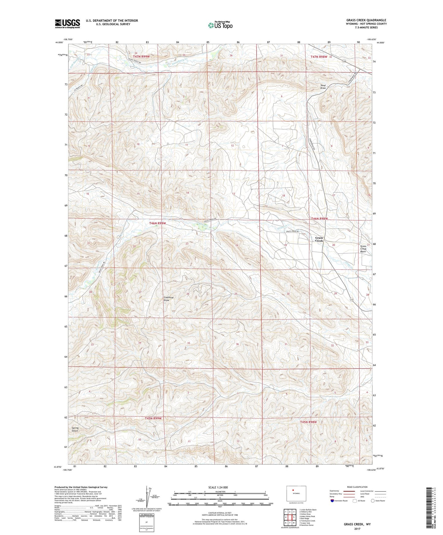
2021 topographic map quadrangle Grass Creek in the state of Wyoming. Scale: 1:24000. Based on the newly updated USGS 7.5' US Topo map series, this map is in the following counties: Hot Springs. The map contains contour data, water features, and other items you are used to seeing on USGS maps, but also has updated roads and other features. This is the next generation of topographic maps. Printed on high-quality waterproof paper with UV fade-resistant inks.
Quads adjacent to this one:
West: Adam Weiss Peak
Northwest: Little Buffalo Basin
North: Hillberry Rim
Northeast: Gillies Draw
East: Red Ridge
Southeast: Hamilton Dome
South: Crater Sink
Southwest: Twentyone Creek
Contains the following named places: Brown Pit Mine, Dickie Number Two Mine, Dickie Ranch, Dickies Number One Mine, Enos Creek, Grass Creek, Grass Creek Basin, Grass Creek Deposits Number One Mine, Grass Creek Mine, Left Hand Creek, Little John Ranch, Mayfield Number One Mine, Mayfields Ranch, Spring Gulch Mine