MyTopo
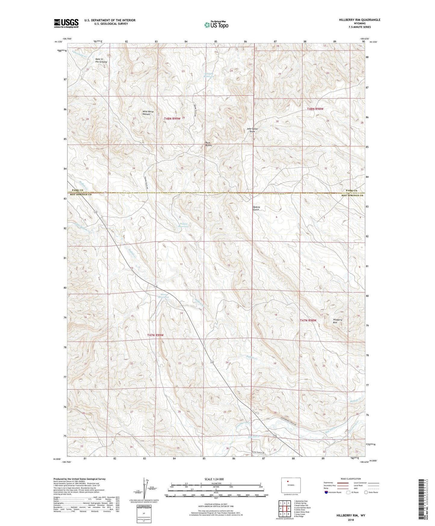
Hillberry Rim Wyoming US Topo Map
Couldn't load pickup availability
2023 topographic map quadrangle Hillberry Rim in the state of Wyoming. Scale: 1:24000. Based on the newly updated USGS 7.5' US Topo map series, this map is in the following counties: Hot Springs, Park. The map contains contour data, water features, and other items you are used to seeing on USGS maps, but also has updated roads and other features. This is the next generation of topographic maps. Printed on high-quality waterproof paper with UV fade-resistant inks.
Quads adjacent to this one:
West: Little Buffalo Basin
Northwest: Meeteetse East
North: Wilson Spring
Northeast: Dead Indian Hill
East: Gillies Draw
Southeast: Red Ridge
South: Grass Creek
Southwest: Adam Weiss Peak
This map covers the same area as the classic USGS quad with code o44108a6.
Contains the following named places: Brewer Pit, Buck Buttes, Dickie Shearing Sheds, Enright Reservoir, Hillberry Rim, Hole in the Ground, Little Buffalo Creek, Moon Dam, Moon Reservoir, Star Ditch, Sun Ditch, Wild Horse Corral, Wild Horse Heaven, Wilson Reservoir