MyTopo
Homestead Draw SW Wyoming US Topo Map
Couldn't load pickup availability
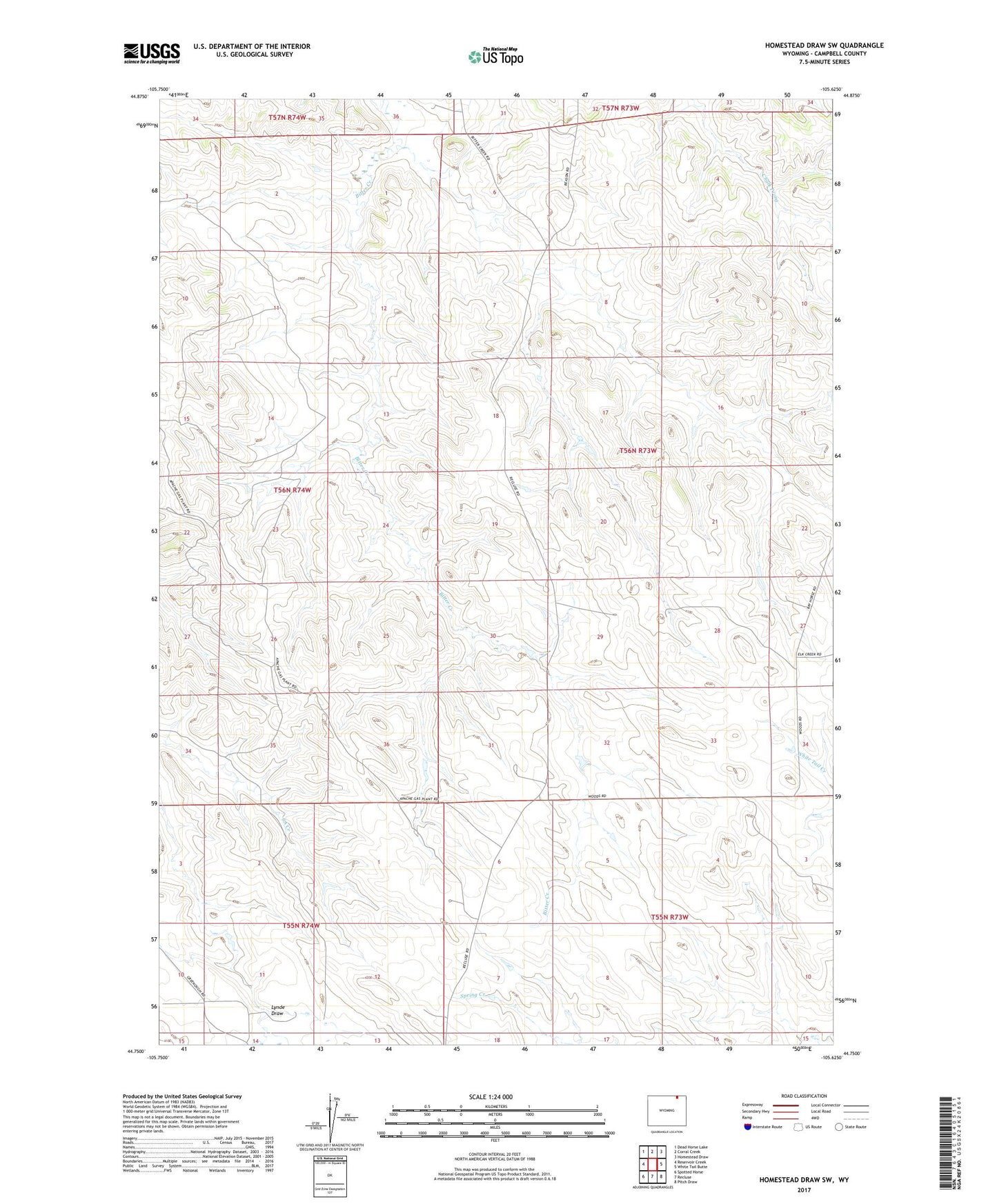
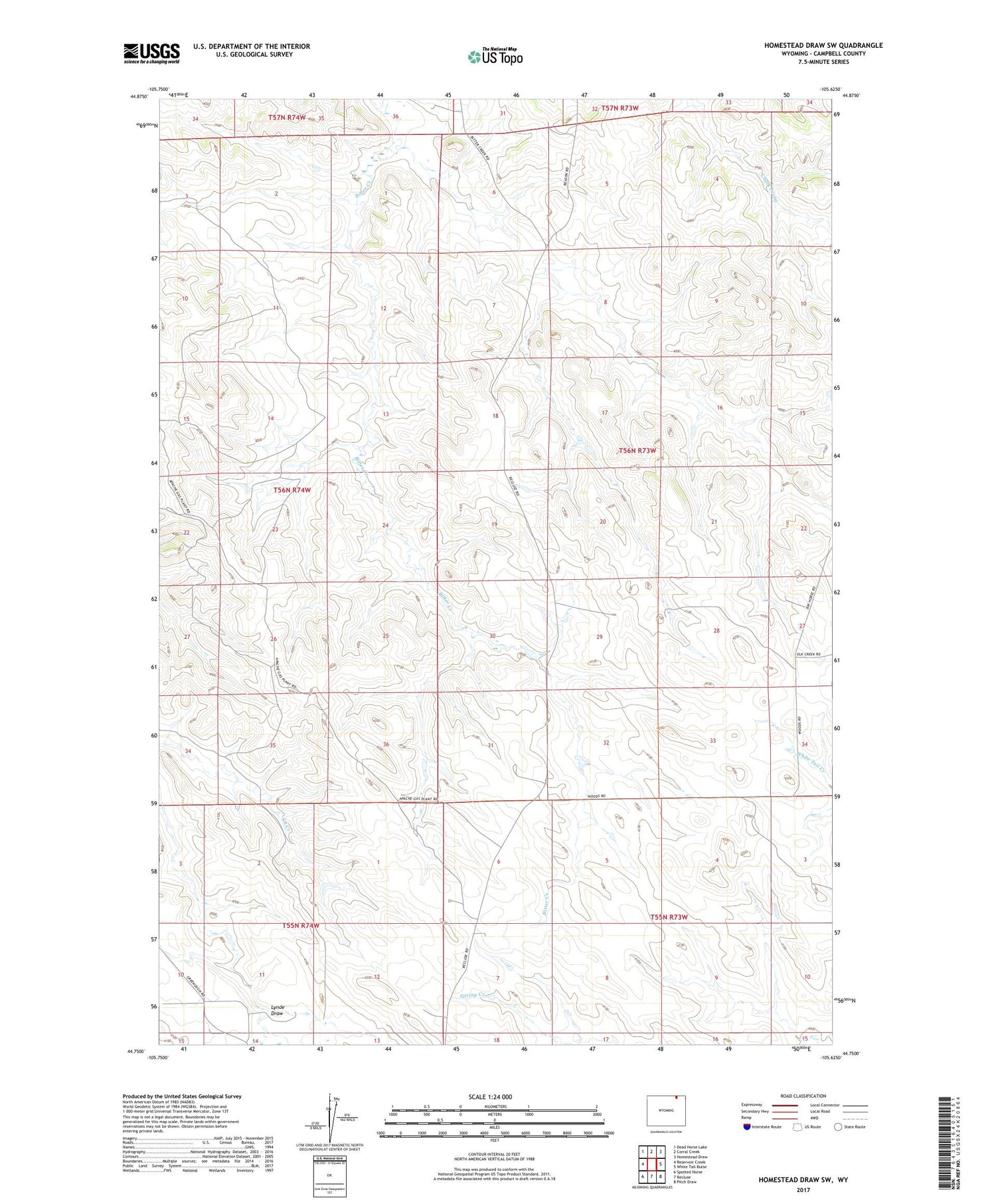
2021 topographic map quadrangle Homestead Draw SW in the state of Wyoming. Scale: 1:24000. Based on the newly updated USGS 7.5' US Topo map series, this map is in the following counties: Campbell. The map contains contour data, water features, and other items you are used to seeing on USGS maps, but also has updated roads and other features. This is the next generation of topographic maps. Printed on high-quality waterproof paper with UV fade-resistant inks.
Quads adjacent to this one:
West: Reservoir Creek
Northwest: Dead Horse Lake
North: Corral Creek
Northeast: Homestead Draw
East: White Tail Butte
Southeast: Pitch Draw
South: Recluse
Southwest: Spotted Horse
Contains the following named places: East Fork Bitter Creek, Fort Steele, Mill Iron Cross Dam, Mill Iron Cross Reservoir, Plum Tree Reservoir