MyTopo
Pitch Draw Wyoming US Topo Map
Couldn't load pickup availability
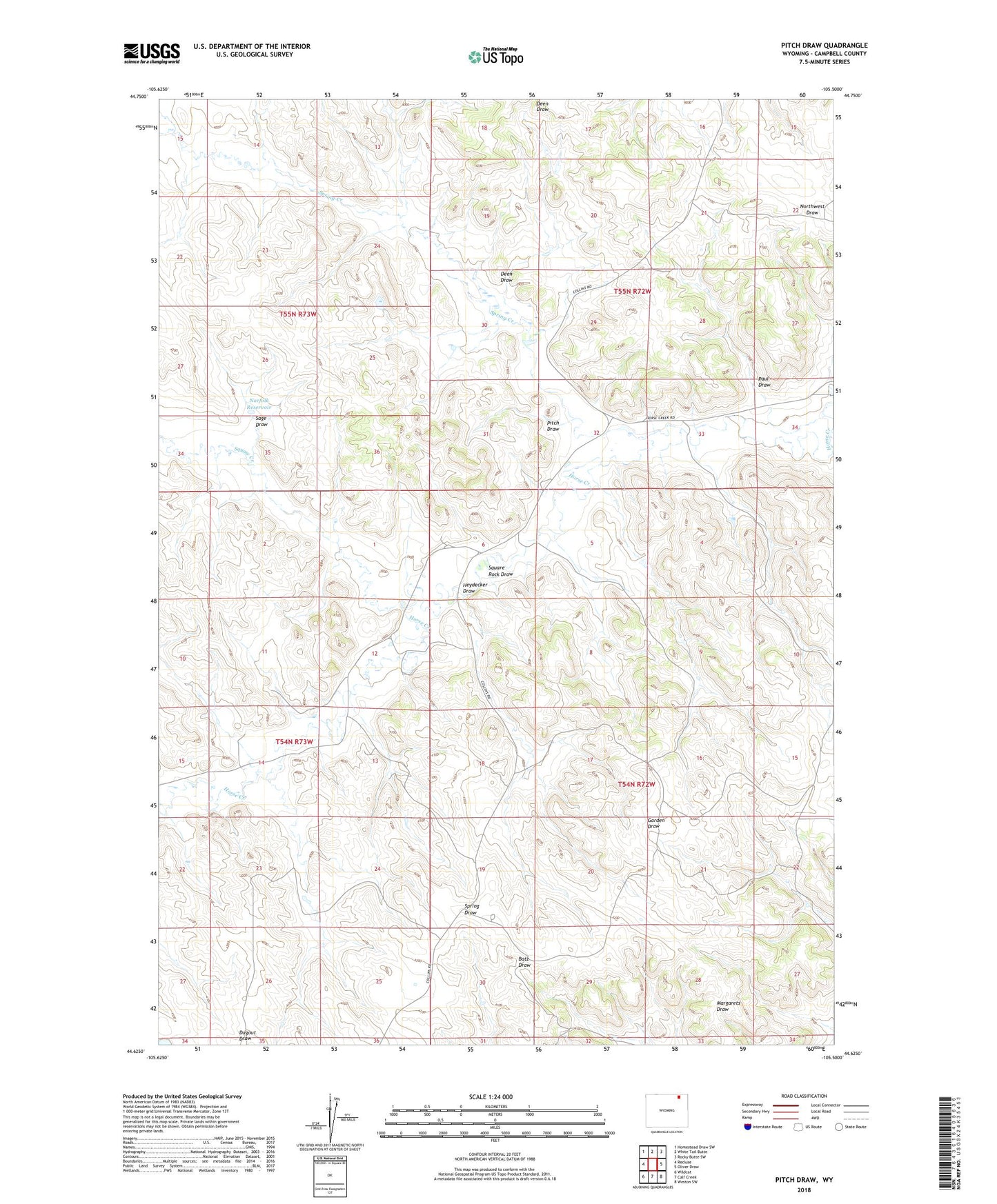
2023 topographic map quadrangle Pitch Draw in the state of Wyoming. Scale: 1:24000. Based on the newly updated USGS 7.5' US Topo map series, this map is in the following counties: Campbell. The map contains contour data, water features, and other items you are used to seeing on USGS maps, but also has updated roads and other features. This is the next generation of topographic maps. Printed on high-quality waterproof paper with UV fade-resistant inks.
Quads adjacent to this one:
West: Recluse
Northwest: Homestead Draw SW
North: White Tail Butte
Northeast: Rocky Butte SW
East: Oliver Draw
Southeast: Weston SW
South: Calf Creek
Southwest: Wildcat
This map covers the same area as the classic USGS quad with code o44105f5.
Contains the following named places: Collums Oil Field, Deen Draw, Gillette North Division, Hay Creek, Heydecker Draw, Norfolk Dam, Norfolk Reservoir, Paul Draw, Pitch Draw, Sage Draw, Spring Creek, Square Rock Draw, Squaw Creek