MyTopo
Horse Butte Wyoming US Topo Map
Couldn't load pickup availability
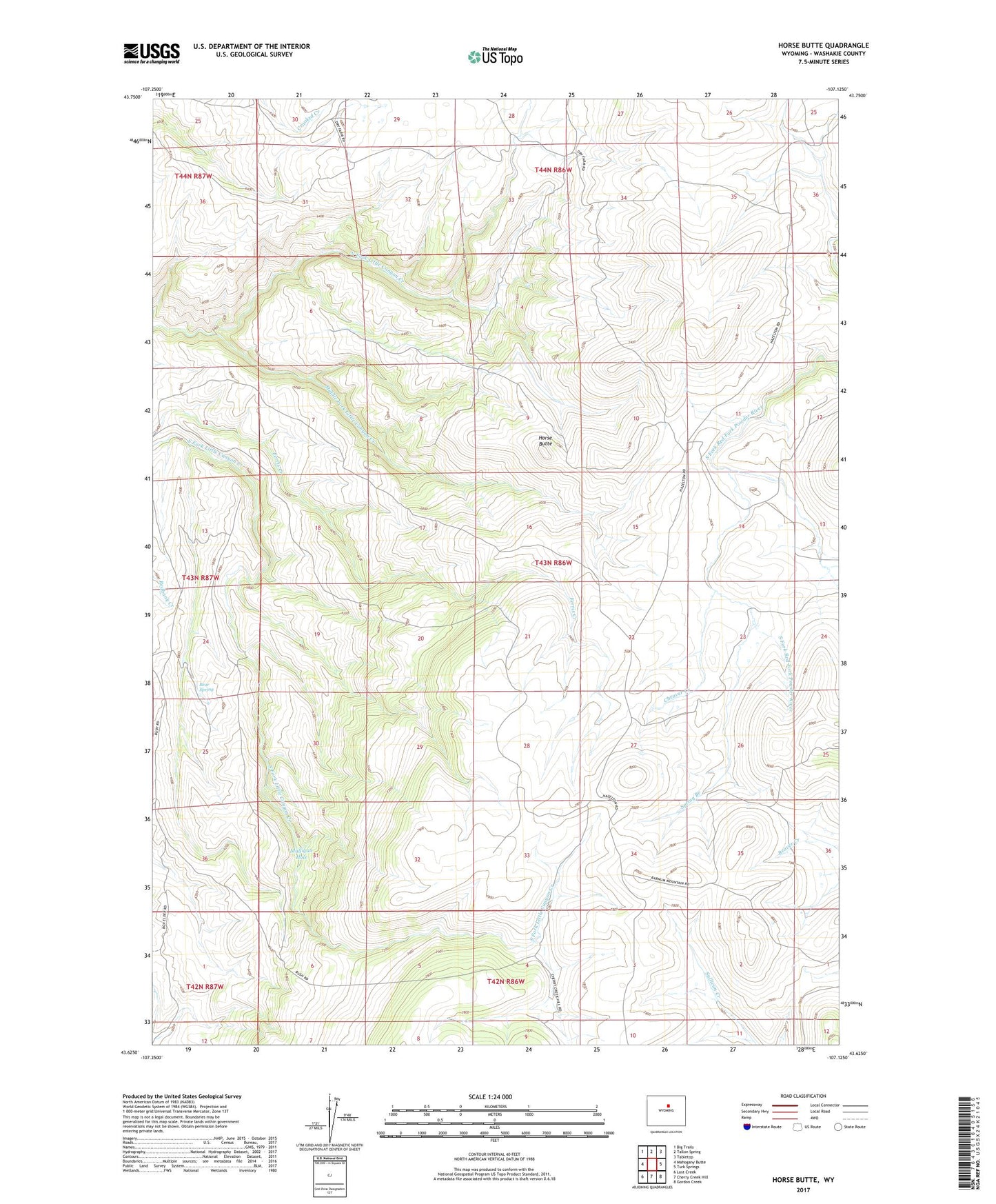
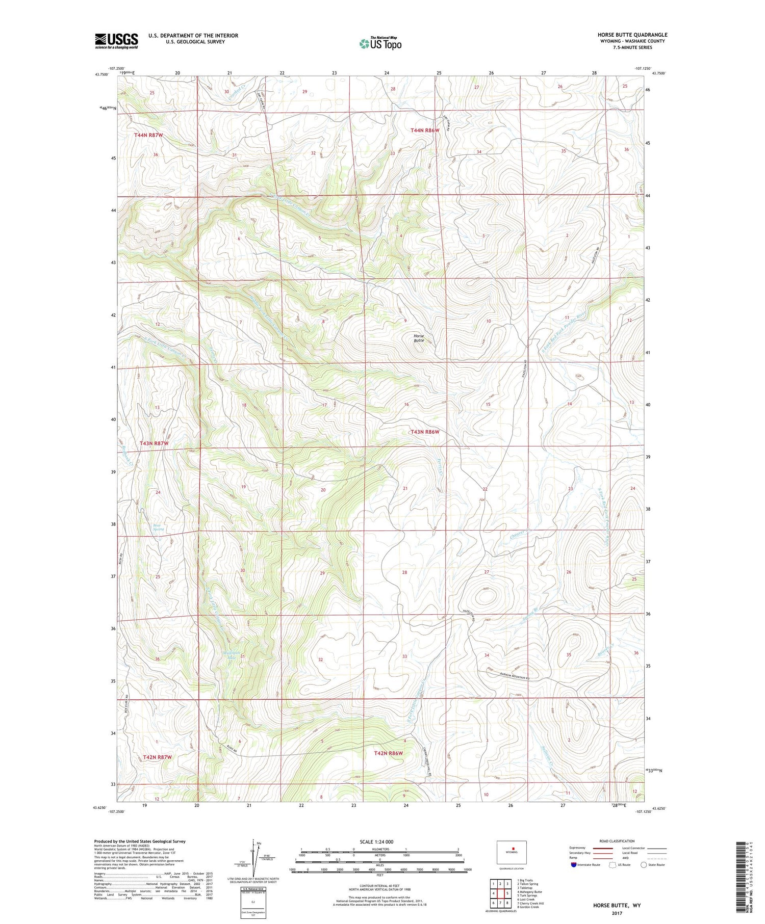
2021 topographic map quadrangle Horse Butte in the state of Wyoming. Scale: 1:24000. Based on the newly updated USGS 7.5' US Topo map series, this map is in the following counties: Washakie. The map contains contour data, water features, and other items you are used to seeing on USGS maps, but also has updated roads and other features. This is the next generation of topographic maps. Printed on high-quality waterproof paper with UV fade-resistant inks.
Quads adjacent to this one:
West: Mahogany Butte
Northwest: Big Trails
North: Tallon Spring
Northeast: Tabletop
East: Turk Springs
Southeast: Gordon Creek
South: Cherry Creek Hill
Southwest: Lost Creek
Contains the following named places: Bear Spring, Cheaver Creek, French Vee, Horse Butte, Middle Fork Little Canyon Creek, Mulligan Hole, Red Bank Dam, Spring Branch