MyTopo
Tallon Spring Wyoming US Topo Map
Couldn't load pickup availability
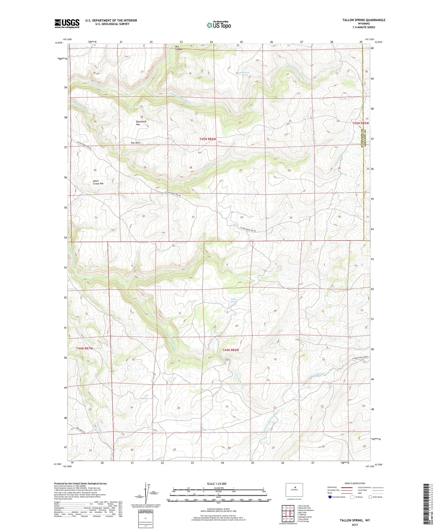
2021 topographic map quadrangle Tallon Spring in the state of Wyoming. Scale: 1:24000. Based on the newly updated USGS 7.5' US Topo map series, this map is in the following counties: Washakie, Johnson. The map contains contour data, water features, and other items you are used to seeing on USGS maps, but also has updated roads and other features. This is the next generation of topographic maps. Printed on high-quality waterproof paper with UV fade-resistant inks.
Quads adjacent to this one:
West: Big Trails
Northwest: Big Trails NE
North: Monument Hill
Northeast: Beartrap Meadows
East: Tabletop
Southeast: Turk Springs
South: Horse Butte
Southwest: Mahogany Butte
This map covers the same area as the classic USGS quad with code o43107g2.
Contains the following named places: Box Canyon, Deadmans Spring, Eberhardt Vee, Middle Fork Otter Creek, Otter Creek Vee, Tallon Spring, The Vees