MyTopo
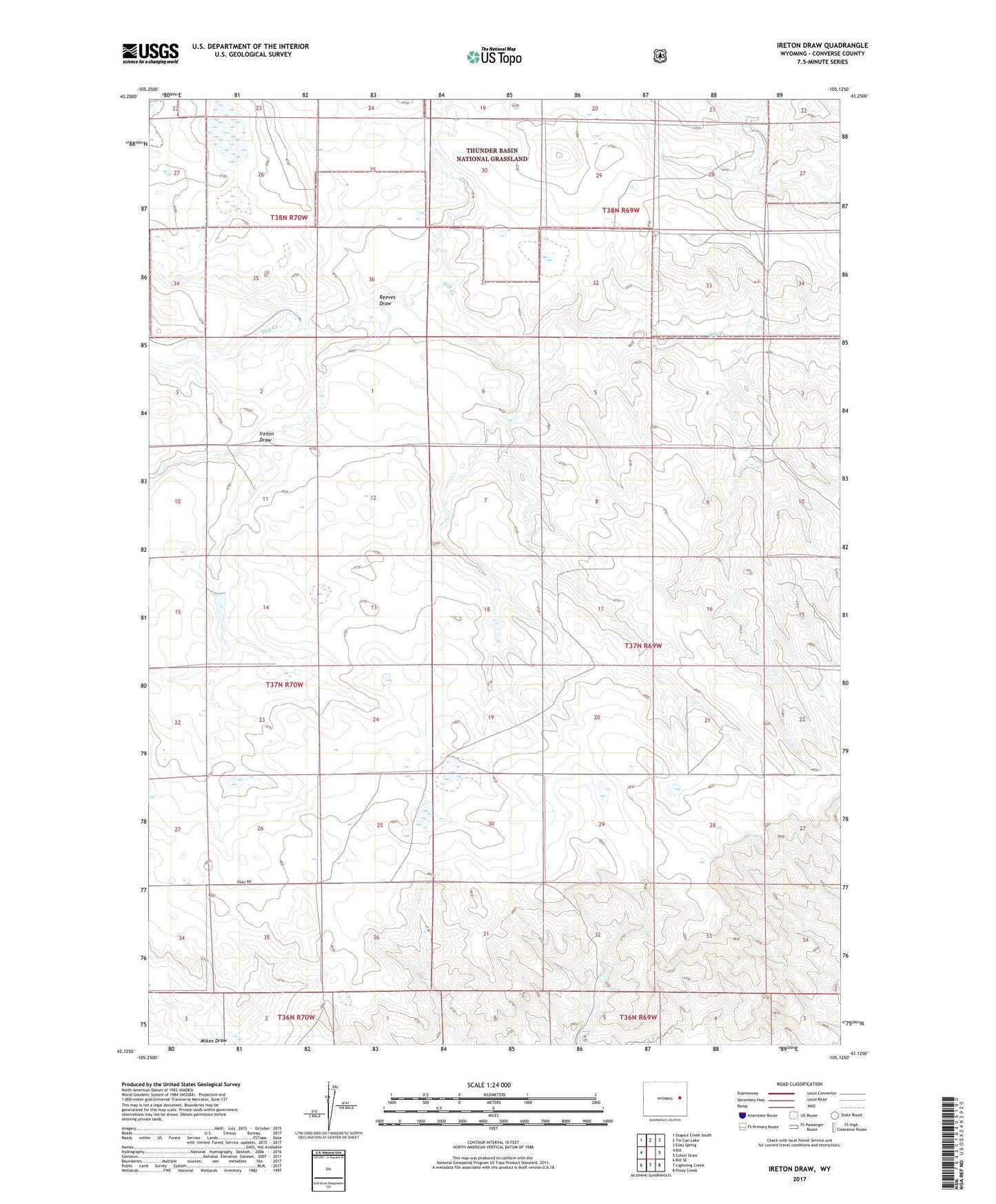
Ireton Draw Wyoming US Topo Map
Couldn't load pickup availability
Also explore the Ireton Draw Forest Service Topo of this same quad for updated USFS data
2021 topographic map quadrangle Ireton Draw in the state of Wyoming. Scale: 1:24000. Based on the newly updated USGS 7.5' US Topo map series, this map is in the following counties: Converse. The map contains contour data, water features, and other items you are used to seeing on USGS maps, but also has updated roads and other features. This is the next generation of topographic maps. Printed on high-quality waterproof paper with UV fade-resistant inks.
Quads adjacent to this one:
West: Bill
Northwest: Dugout Creek South
North: Tin Can Lake
Northeast: Esau Spring
East: Colter Draw
Southeast: Piney Creek
South: Lightning Creek
Southwest: Bill SE
This map covers the same area as the classic USGS quad with code o43105b2.
Contains the following named places: Ireton Draw, Reeves Draw, Shelden Draw