MyTopo
Julio Draw Wyoming US Topo Map
Couldn't load pickup availability
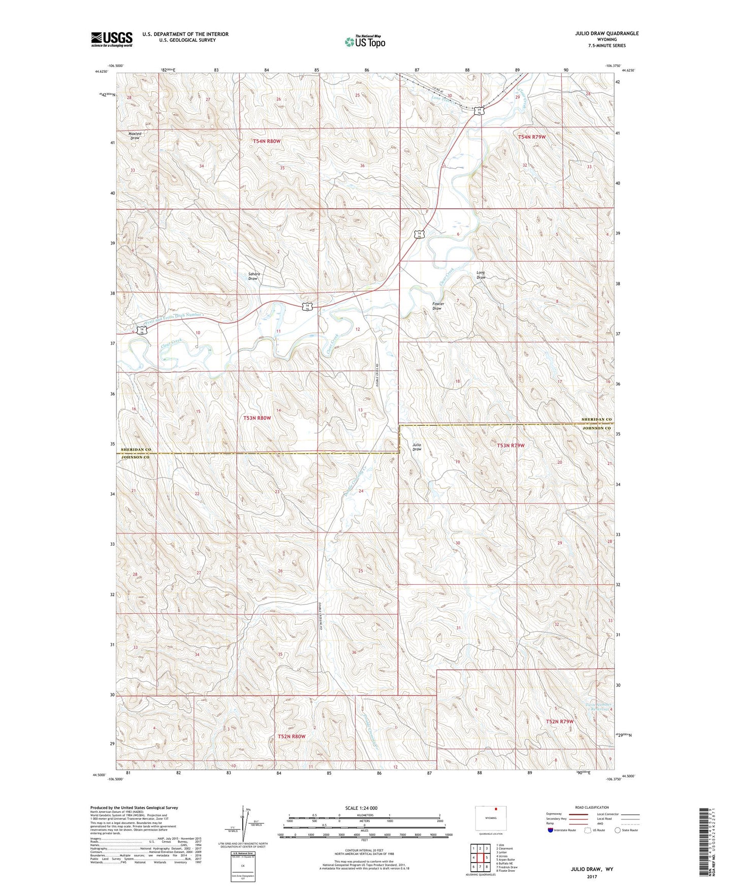
2021 topographic map quadrangle Julio Draw in the state of Wyoming. Scale: 1:24000. Based on the newly updated USGS 7.5' US Topo map series, this map is in the following counties: Sheridan, Johnson. The map contains contour data, water features, and other items you are used to seeing on USGS maps, but also has updated roads and other features. This is the next generation of topographic maps. Printed on high-quality waterproof paper with UV fade-resistant inks.
Quads adjacent to this one:
West: Ucross
Northwest: Ulm
North: Clearmont
Northeast: Leiter
East: Arpan Butte
Southeast: Floate Draw
South: Fredrick Draw
Southwest: Buffalo NE
Contains the following named places: Big Donaldson Dam, Big Donaldson Reservoir, Donaldson Dam, Donaldson Reservoir, Double Crossing Creek, Fowler Dam, Fowler Draw, Fowler Reservoir, Green Cabin Dam, Green Cabin Number 3 Reservoir, Green Cabin Reservoir, Henry Dam, Henry Reservoir, Julio Draw, Landeck Irrigation Dam, Landeck Irrigation Reservoir, Lone Tree Creek, Long Draw, Pinhead Creek, Pratt and Ferris Ditch Number 1, Sahara Draw, Twin Number 1 Dam, Twin Number 1 Reservoir, Van Noy Dam, Van Noy Reservoir