MyTopo
Lake Butte Wyoming US Topo Map
Couldn't load pickup availability
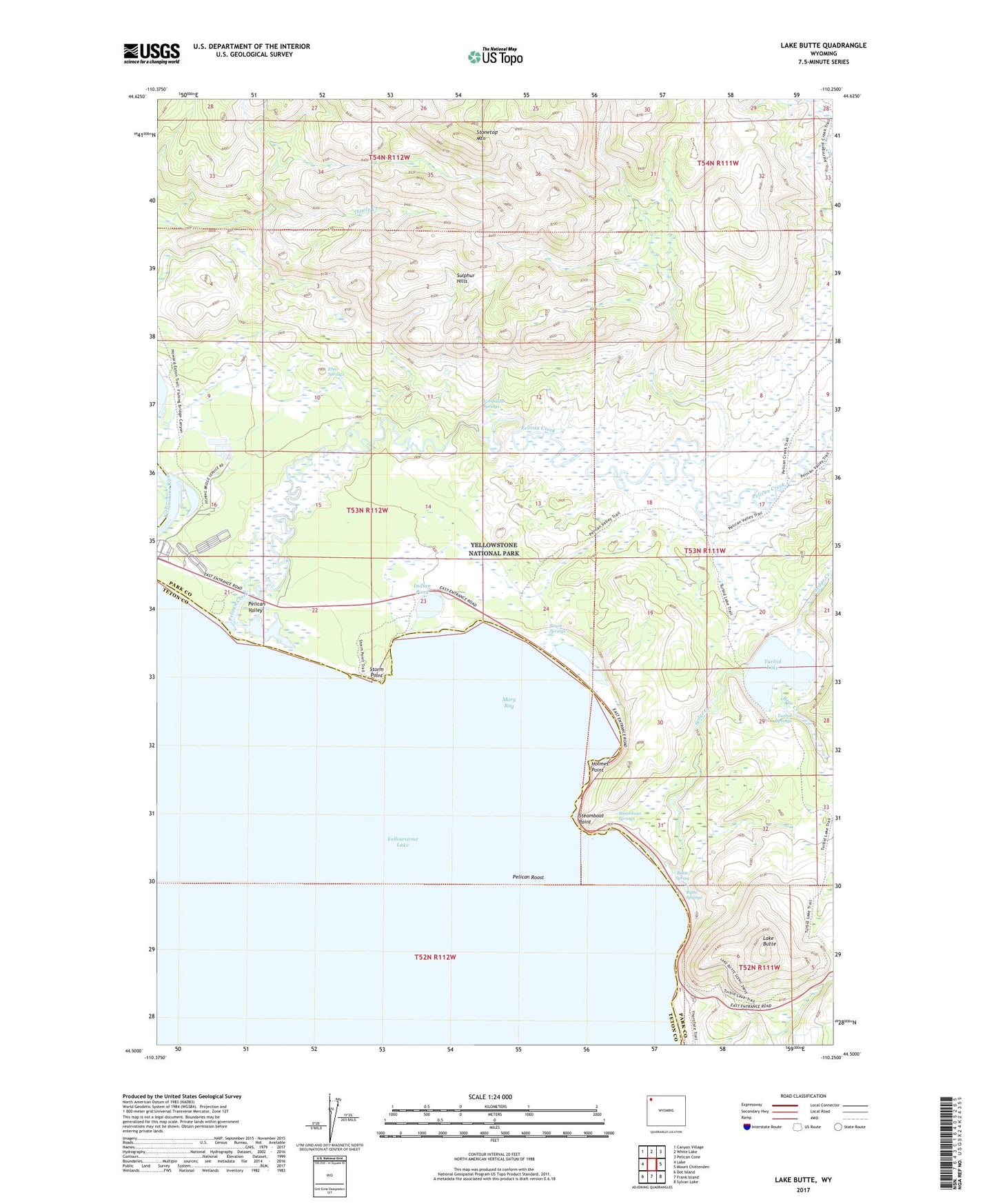
2021 topographic map quadrangle Lake Butte in the state of Wyoming. Scale: 1:24000. Based on the newly updated USGS 7.5' US Topo map series, this map is in the following counties: Park, Teton. The map contains contour data, water features, and other items you are used to seeing on USGS maps, but also has updated roads and other features. This is the next generation of topographic maps. Printed on high-quality waterproof paper with UV fade-resistant inks.
Quads adjacent to this one:
West: Lake
Northwest: Canyon Village
North: White Lake
Northeast: Pelican Cone
East: Mount Chittenden
Southeast: Sylvan Lake
South: Frank Island
Southwest: Dot Island
Contains the following named places: Beach Springs, Bear Creek, Butte Spring, Butte Springs, Ebro Springs, Holmes Point, Indian Pond, Lake Butte, Mary Bay, Pelican Creek, Pelican Creek Trail, Pelican Roost, Pelican Valley, Sedge Creek, Steamboat Point, Steamboat Springs, Stonetop Mountain, Storm Point, Sulphur Hills, Turbid Lake, Turbid Springs, Vermilion Springs