MyTopo
Lightning Ridge Wyoming US Topo Map
Couldn't load pickup availability
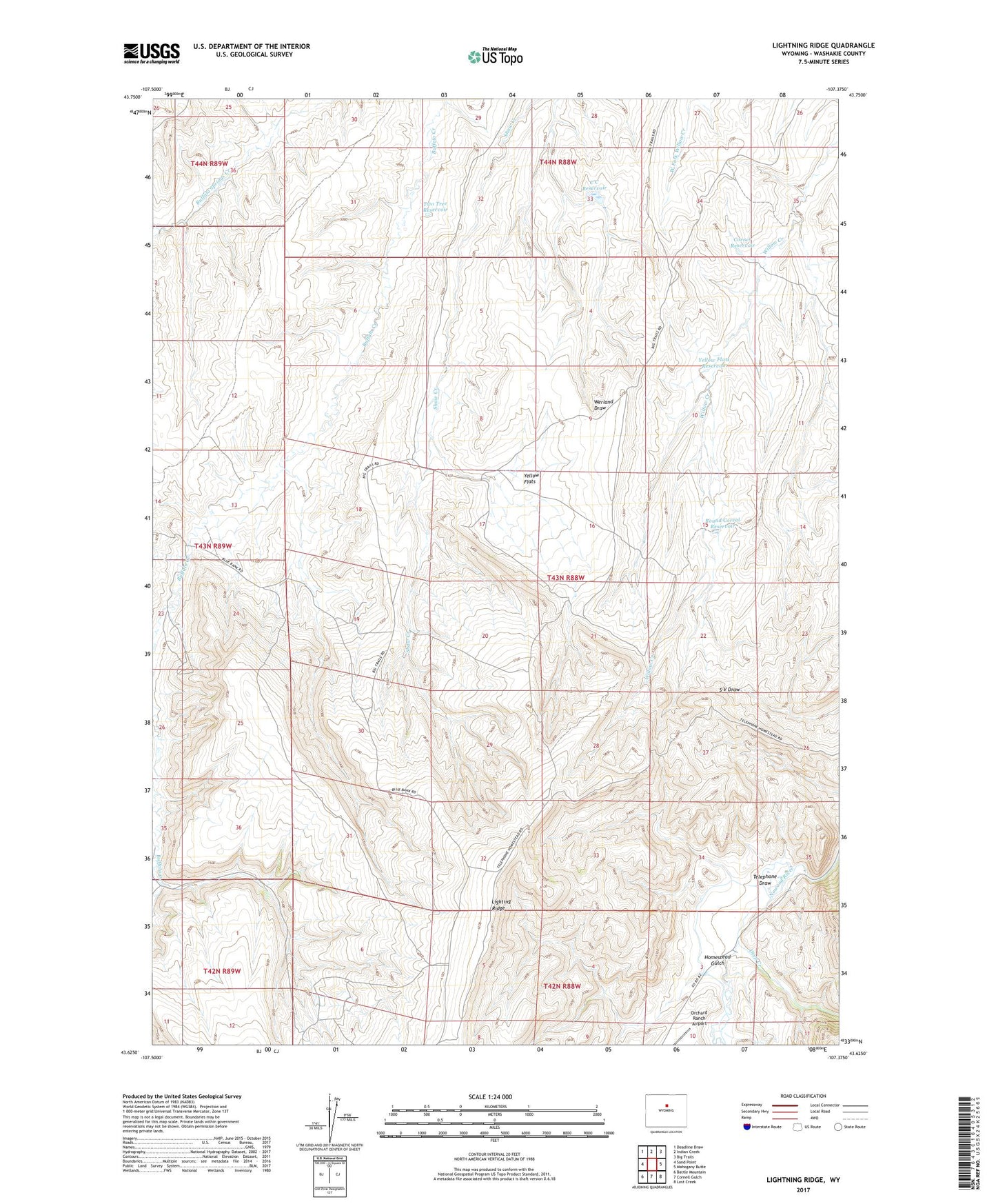
2021 topographic map quadrangle Lightning Ridge in the state of Wyoming. Scale: 1:24000. Based on the newly updated USGS 7.5' US Topo map series, this map is in the following counties: Washakie. The map contains contour data, water features, and other items you are used to seeing on USGS maps, but also has updated roads and other features. This is the next generation of topographic maps. Printed on high-quality waterproof paper with UV fade-resistant inks.
Quads adjacent to this one:
West: Sand Point
Northwest: Deadline Draw
North: Indian Creek
Northeast: Big Trails
East: Mahogany Butte
Southeast: Lost Creek
South: Cornell Gulch
Southwest: Battle Mountain
Contains the following named places: Big Trails Area Mine, C C Reservoir, Corner Reservoir, County Pit, Deep Creek, Homestead Gulch, Lighting Ridge, Round Corral Reservoir, Split Rock Creek, Telephone Draw, Two Tree Reservoir, Yellow Flats, Yellow Flats Reservoir