MyTopo
Battle Mountain Wyoming US Topo Map
Couldn't load pickup availability
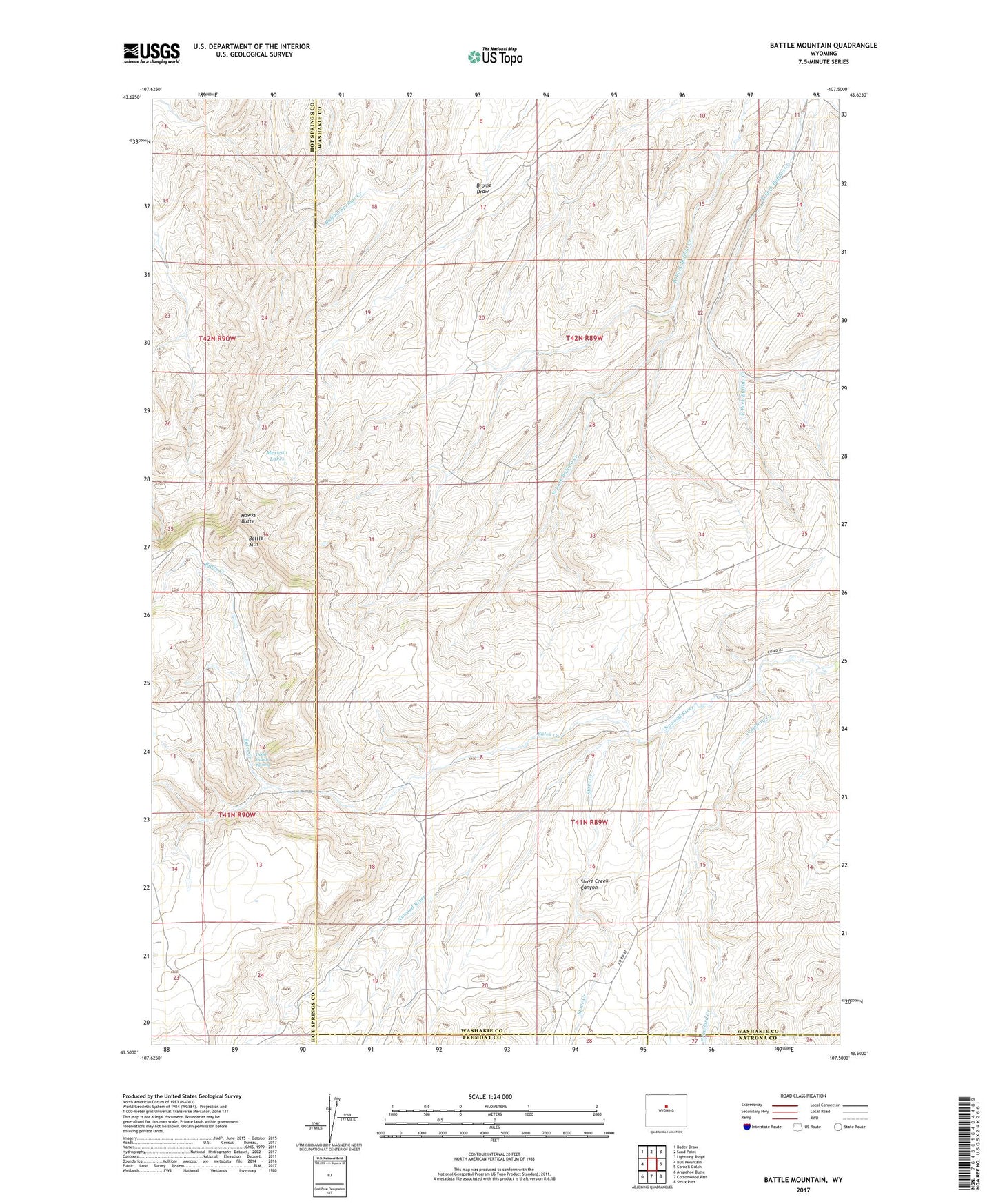
2021 topographic map quadrangle Battle Mountain in the state of Wyoming. Scale: 1:24000. Based on the newly updated USGS 7.5' US Topo map series, this map is in the following counties: Washakie, Hot Springs, Fremont, Natrona. The map contains contour data, water features, and other items you are used to seeing on USGS maps, but also has updated roads and other features. This is the next generation of topographic maps. Printed on high-quality waterproof paper with UV fade-resistant inks.
Quads adjacent to this one:
West: Bull Mountain
Northwest: Bader Draw
North: Sand Point
Northeast: Lightning Ridge
East: Cornell Gulch
Southeast: Sioux Pass
South: Cottonwood Pass
Southwest: Arapahoe Butte
This map covers the same area as the classic USGS quad with code o43107e5.
Contains the following named places: Bates Battlefield, Bates Creek, Battle Mountain, Crawford Creek, Dead Indian Spring, Hawks Butte, Mexican Lakes, Nowood River Number Four Mine, Orchard Bates Creek Ranch, Rate Homestead, Stove Creek, Stove Creek Canyon