MyTopo
Mexican Pass SW Wyoming US Topo Map
Couldn't load pickup availability
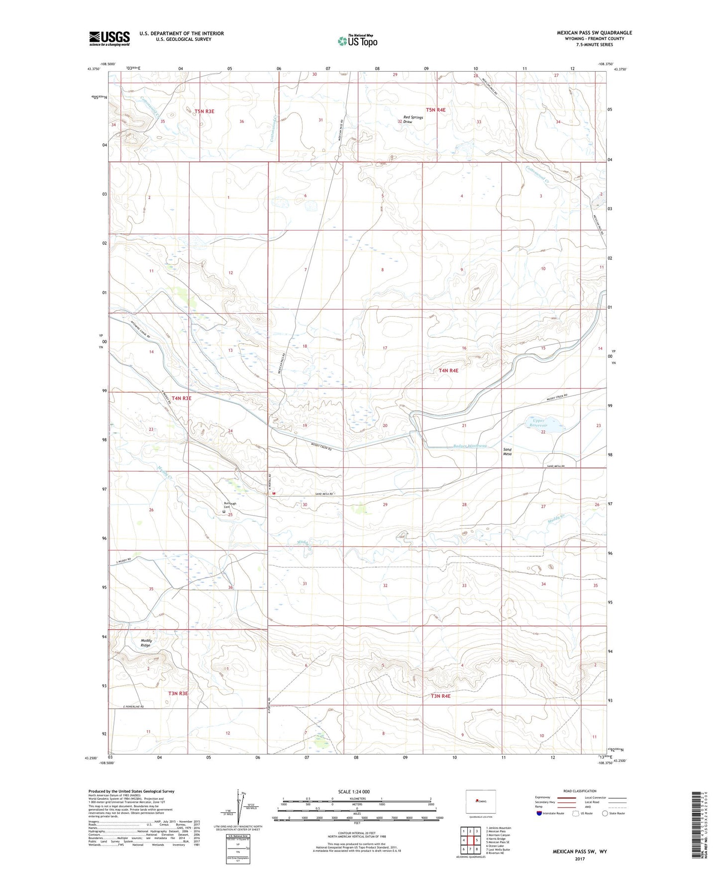
2021 topographic map quadrangle Mexican Pass SW in the state of Wyoming. Scale: 1:24000. Based on the newly updated USGS 7.5' US Topo map series, this map is in the following counties: Fremont. The map contains contour data, water features, and other items you are used to seeing on USGS maps, but also has updated roads and other features. This is the next generation of topographic maps. Printed on high-quality waterproof paper with UV fade-resistant inks.
Quads adjacent to this one:
West: Harris Bridge
Northwest: Jenkins Mountain
North: Mexican Pass
Northeast: Morrison Canyon
East: Mexican Pass SE
Southeast: Riverton NE
South: Lost Wells Butte
Southwest: Ocean Lake
This map covers the same area as the classic USGS quad with code o43108c4.
Contains the following named places: Badger Wasteway, Burnaugh Cemetery, Fremont County Fire Protection District Battalion 11 North Portal, Red Springs Draw, Upper Cottonwood Dam, Upper Cottonwood Reservoir, Upper Reservoir