MyTopo
Mud Springs Wyoming US Topo Map
Couldn't load pickup availability
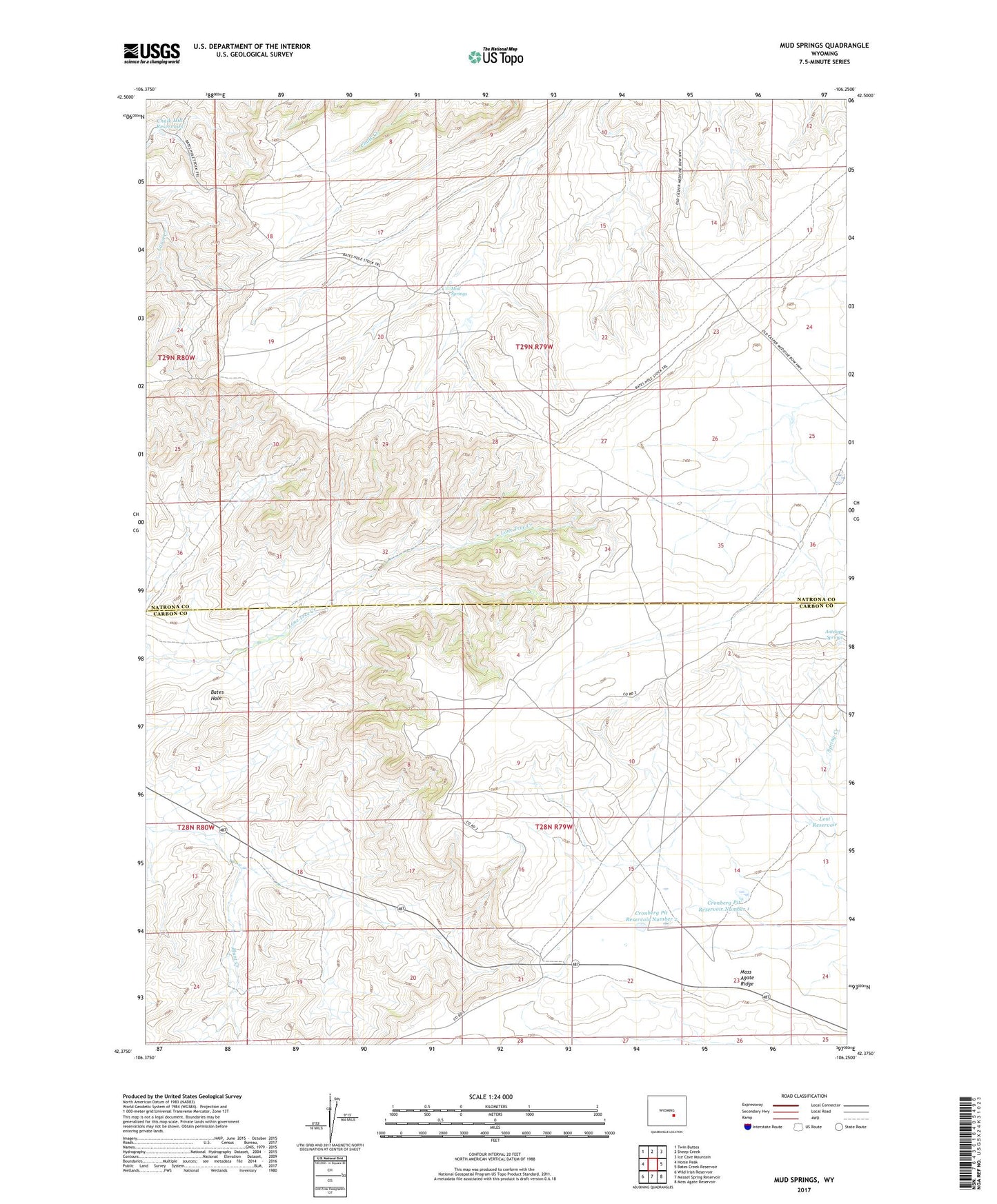
2021 topographic map quadrangle Mud Springs in the state of Wyoming. Scale: 1:24000. Based on the newly updated USGS 7.5' US Topo map series, this map is in the following counties: Natrona, Carbon. The map contains contour data, water features, and other items you are used to seeing on USGS maps, but also has updated roads and other features. This is the next generation of topographic maps. Printed on high-quality waterproof paper with UV fade-resistant inks.
Quads adjacent to this one:
West: Horse Peak
Northwest: Twin Buttes
North: Sheep Creek
Northeast: Ice Cave Mountain
East: Bates Creek Reservoir
Southeast: Moss Agate Reservoir
South: Measel Spring Reservoir
Southwest: Wild Irish Reservoir
Contains the following named places: Antelope Springs, Chalk Hill Reservoirs, Cronberg Pit Reservoir Number 1, Cronberg Pit Reservoir Number 2, Lost Reservoir, Moss Agate Ridge, Mud Springs