MyTopo
Ninemile Hill Wyoming US Topo Map
Couldn't load pickup availability
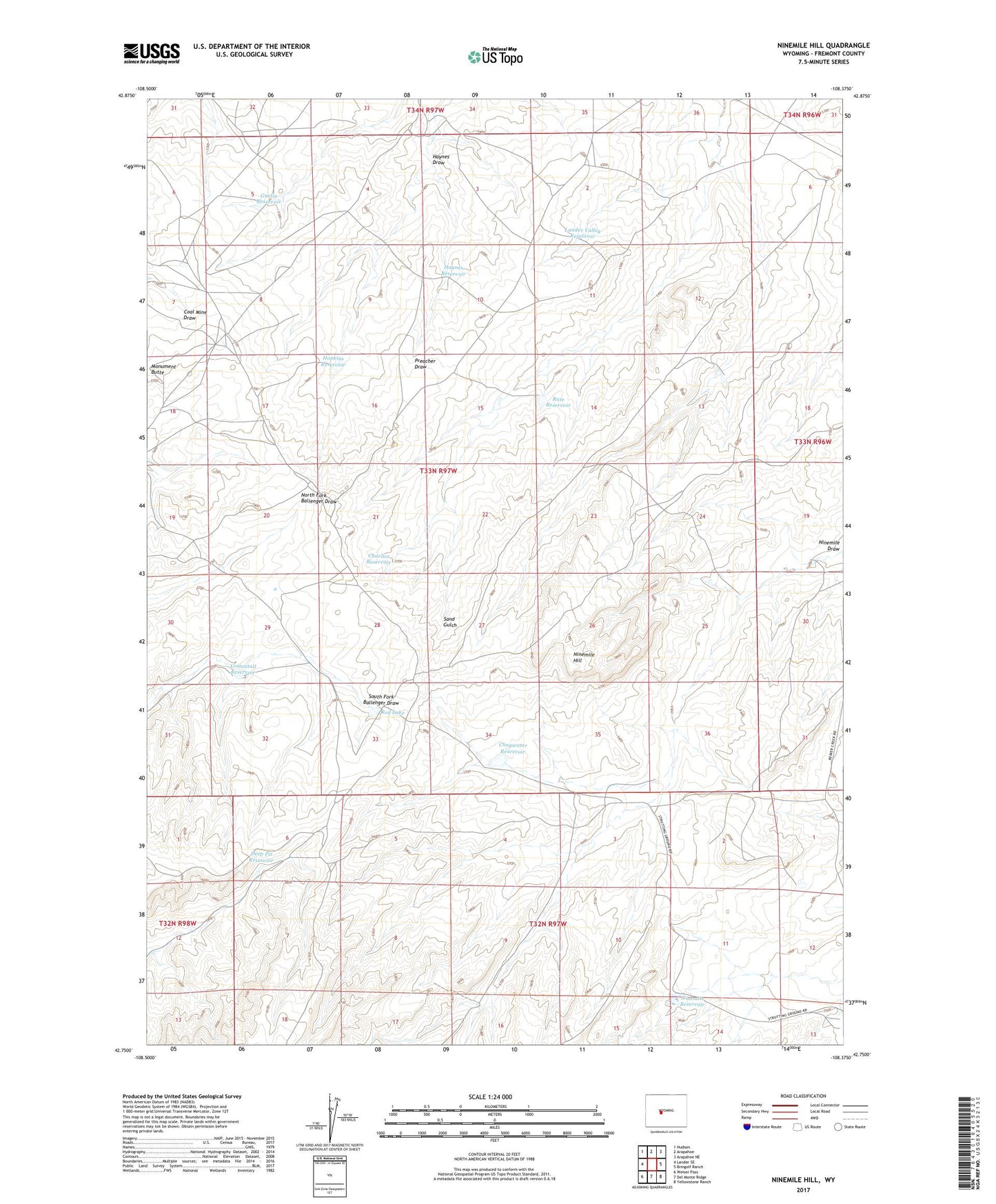
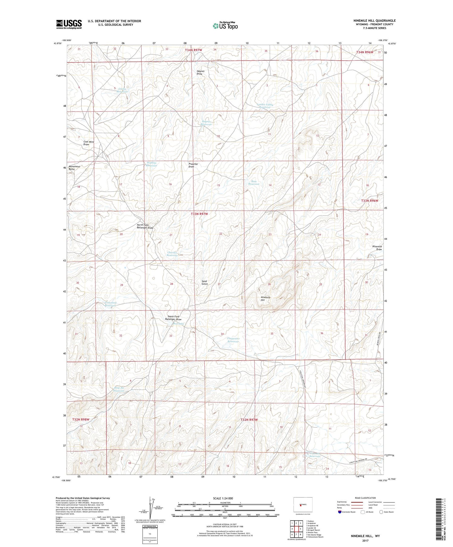
2021 topographic map quadrangle Ninemile Hill in the state of Wyoming. Scale: 1:24000. Based on the newly updated USGS 7.5' US Topo map series, this map is in the following counties: Fremont. The map contains contour data, water features, and other items you are used to seeing on USGS maps, but also has updated roads and other features. This is the next generation of topographic maps. Printed on high-quality waterproof paper with UV fade-resistant inks.
Quads adjacent to this one:
West: Lander SE
Northwest: Hudson
North: Arapahoe
Northeast: Arapahoe NE
East: Bringolf Ranch
Southeast: Yellowstone Ranch
South: Del Monte Ridge
Southwest: Weiser Pass
Contains the following named places: Charlies Reservoir, Chugwater Reservoir, Cottontail Reservoir, Deep Pit Reservoir, Gustin Reservoir, Haynes Draw, Haynes Reservoir, Hopkins Reservoir, Lander Valley Reservoir, Ninemile Hill, Ninemile Reservoir, Rate Reservoir, Red Lake, Wingfoot Reservoir