MyTopo
Nostrum Mountain Wyoming US Topo Map
Couldn't load pickup availability
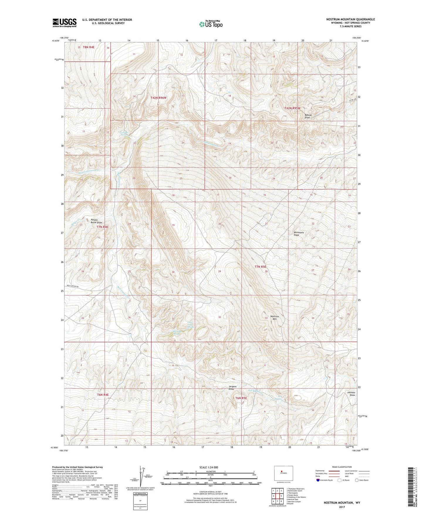
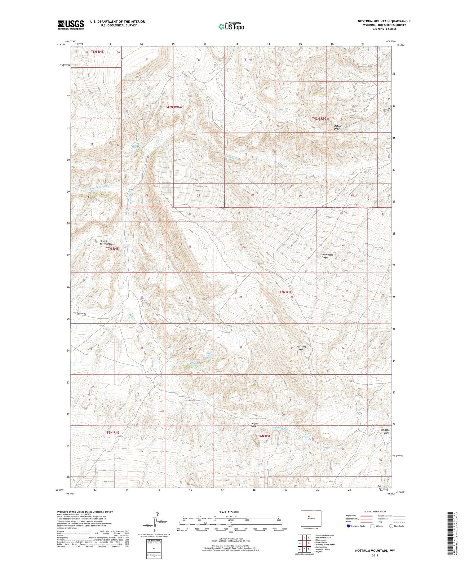
2021 topographic map quadrangle Nostrum Mountain in the state of Wyoming. Scale: 1:24000. Based on the newly updated USGS 7.5' US Topo map series, this map is in the following counties: Hot Springs. The map contains contour data, water features, and other items you are used to seeing on USGS maps, but also has updated roads and other features. This is the next generation of topographic maps. Printed on high-quality waterproof paper with UV fade-resistant inks.
Quads adjacent to this one:
West: Potato Butte
Northwest: Thompson Reservoirs
North: Rattlesnake Gulch
Northeast: Thermopolis
East: Wedding of the Waters
Southeast: Boysen
South: Morrison Canyon
Southwest: Mexican Pass
Contains the following named places: Big Eagle Spring, Dry Cottonwood Creek, Jergens Draw, Little Eagle Springs, Minnesela Slope, Nostrum Mountain, Nostrum Spring, Potato Butte Draw, Red Canyon Ranch, Red Springs, Willow Creek