MyTopo
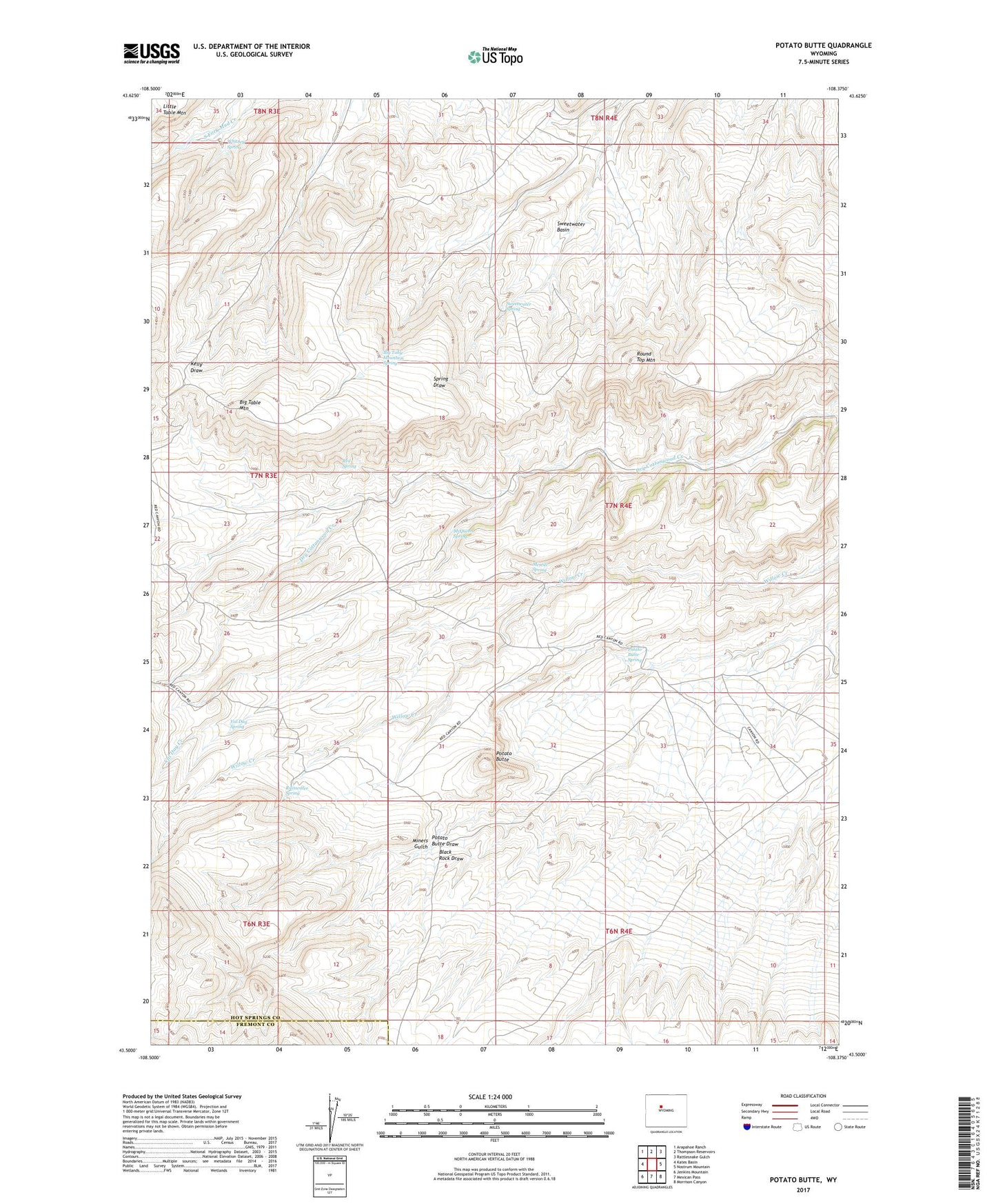
Potato Butte Wyoming US Topo Map
Couldn't load pickup availability
2021 topographic map quadrangle Potato Butte in the state of Wyoming. Scale: 1:24000. Based on the newly updated USGS 7.5' US Topo map series, this map is in the following counties: Hot Springs, Fremont. The map contains contour data, water features, and other items you are used to seeing on USGS maps, but also has updated roads and other features. This is the next generation of topographic maps. Printed on high-quality waterproof paper with UV fade-resistant inks.
Quads adjacent to this one:
West: Kates Basin
Northwest: Arapahoe Ranch
North: Thompson Reservoirs
Northeast: Rattlesnake Gulch
East: Nostrum Mountain
Southeast: Morrison Canyon
South: Mexican Pass
Southwest: Jenkins Mountain
This map covers the same area as the classic USGS quad with code o43108e4.
Contains the following named places: Big Table Mountain, Big Table Mountain Spring, Black Rock Draw, McQueen Spring, Merrill Spring, Miners Gulch, Potato Butte, Potato Butte Spring, Rainwater Spring, Red Spring, Round Top Mountain, Sweetwater Basin, Sweetwater Spring, Val Day Creek, Val Day Spring, Whitney Spring