MyTopo
Riner Wyoming US Topo Map
Couldn't load pickup availability
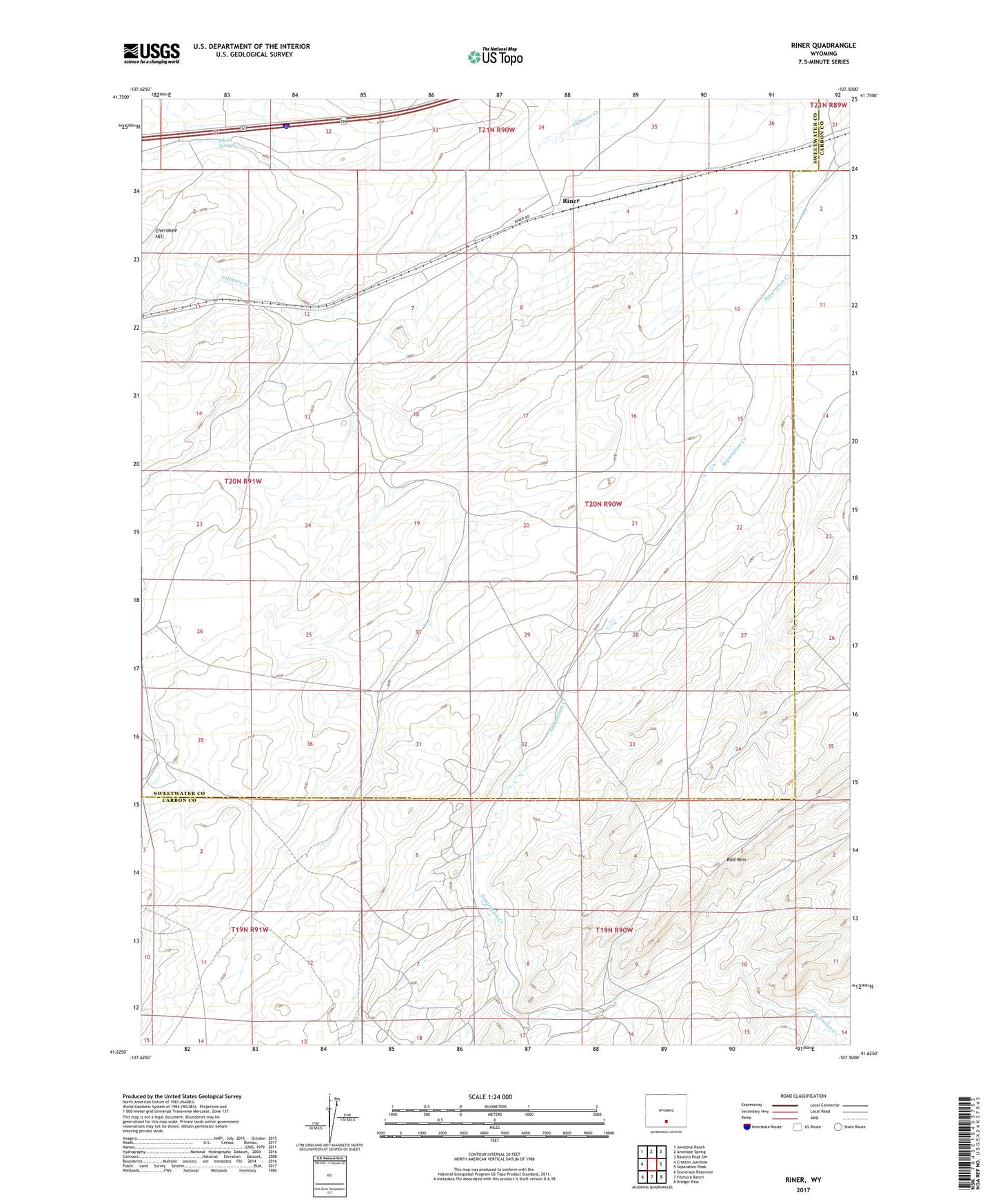
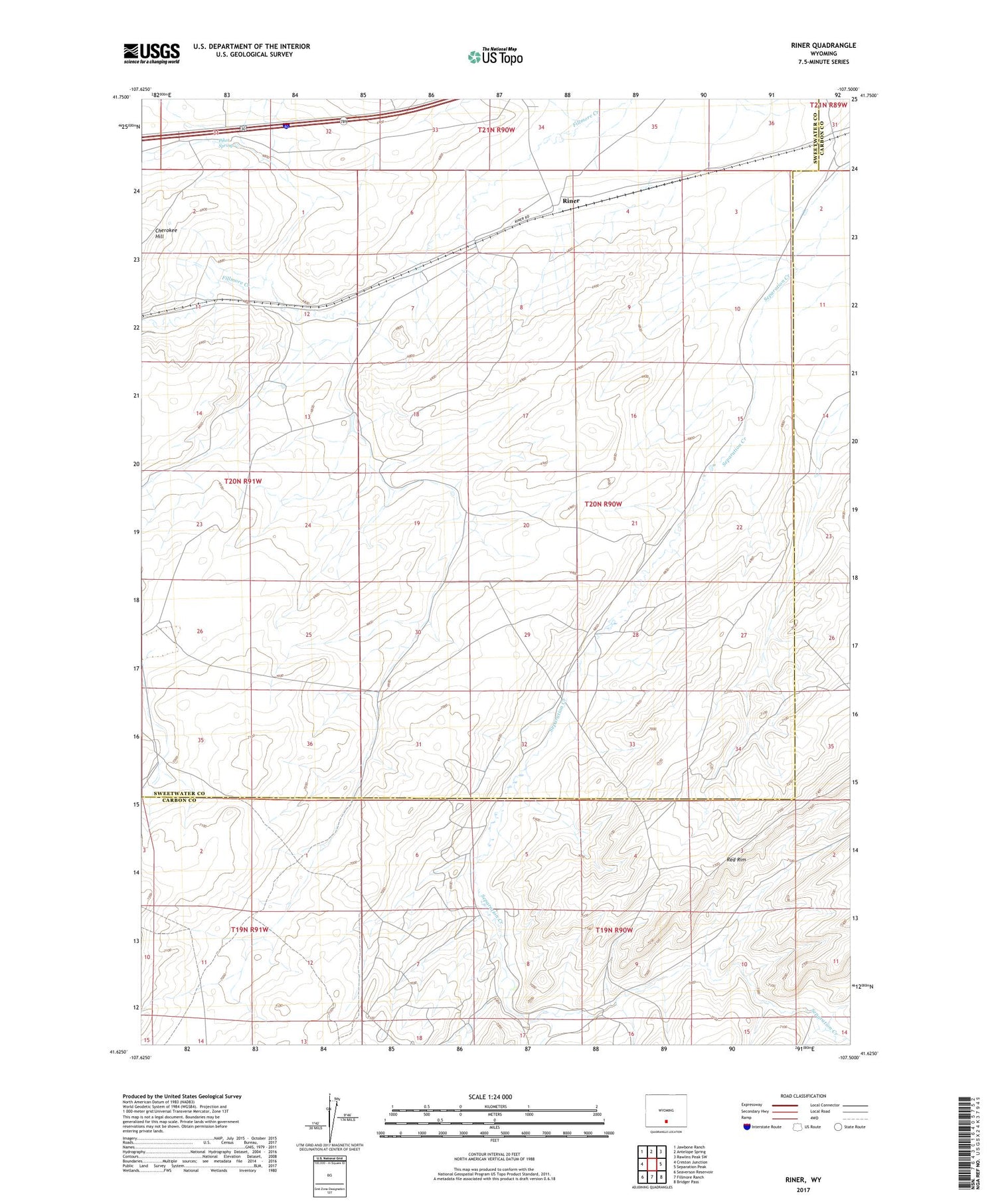
2021 topographic map quadrangle Riner in the state of Wyoming. Scale: 1:24000. Based on the newly updated USGS 7.5' US Topo map series, this map is in the following counties: Sweetwater, Carbon. The map contains contour data, water features, and other items you are used to seeing on USGS maps, but also has updated roads and other features. This is the next generation of topographic maps. Printed on high-quality waterproof paper with UV fade-resistant inks.
Quads adjacent to this one:
West: Creston Junction
Northwest: Jawbone Ranch
North: Antelope Spring
Northeast: Rawlins Peak SW
East: Separation Peak
Southeast: Bridger Pass
South: Fillmore Ranch
Southwest: Seaverson Reservoir
Contains the following named places: Piker Spring, Riner