MyTopo
Rawlins Peak SW Wyoming US Topo Map
Couldn't load pickup availability
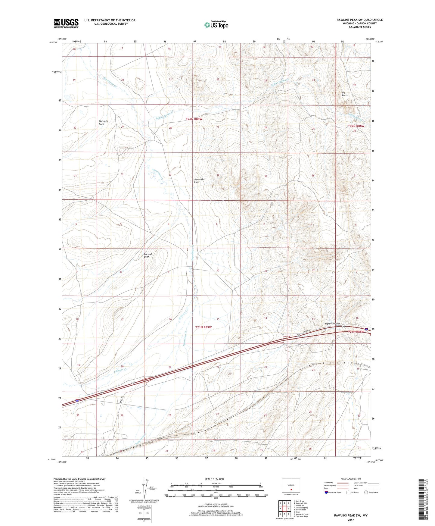
2021 topographic map quadrangle Rawlins Peak SW in the state of Wyoming. Scale: 1:24000. Based on the newly updated USGS 7.5' US Topo map series, this map is in the following counties: Carbon. The map contains contour data, water features, and other items you are used to seeing on USGS maps, but also has updated roads and other features. This is the next generation of topographic maps. Printed on high-quality waterproof paper with UV fade-resistant inks.
Quads adjacent to this one:
West: Antelope Spring
Northwest: Buck Draw
North: Shamrock Hills
Northeast: Rendle Hill
East: Rawlins Peak
Southeast: Coal Mine Ridge
South: Separation Peak
Southwest: Riner
This map covers the same area as the classic USGS quad with code o41107g4.
Contains the following named places: Big Rocks, Creston Draw, Daley Ranch, Eightmile Bridge, Fillmore Creek, Hadsell, Indian Spring Creek, Mahoney Draw, Pine Bed Mine