MyTopo
Ross Flat Wyoming US Topo Map
Couldn't load pickup availability
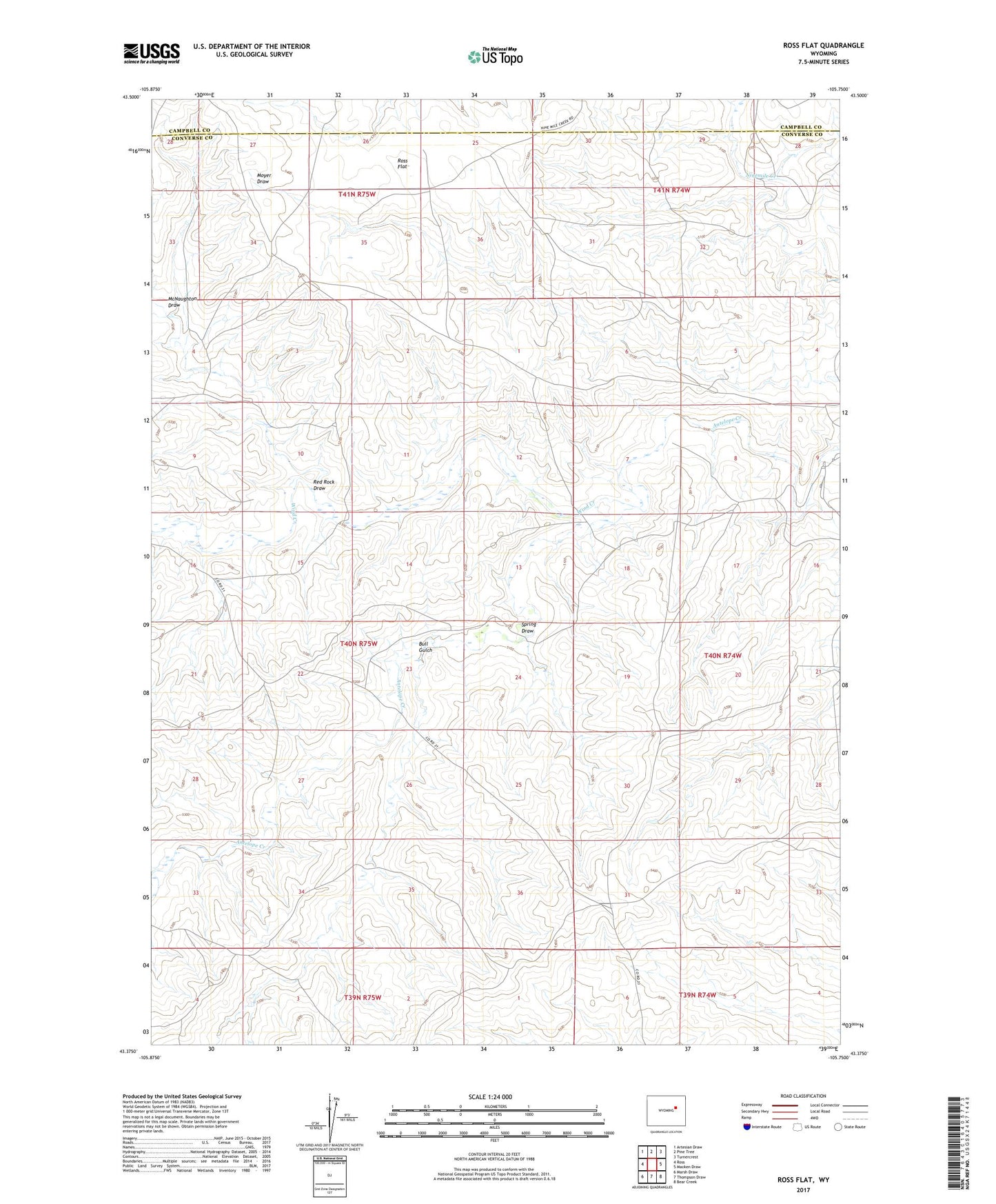
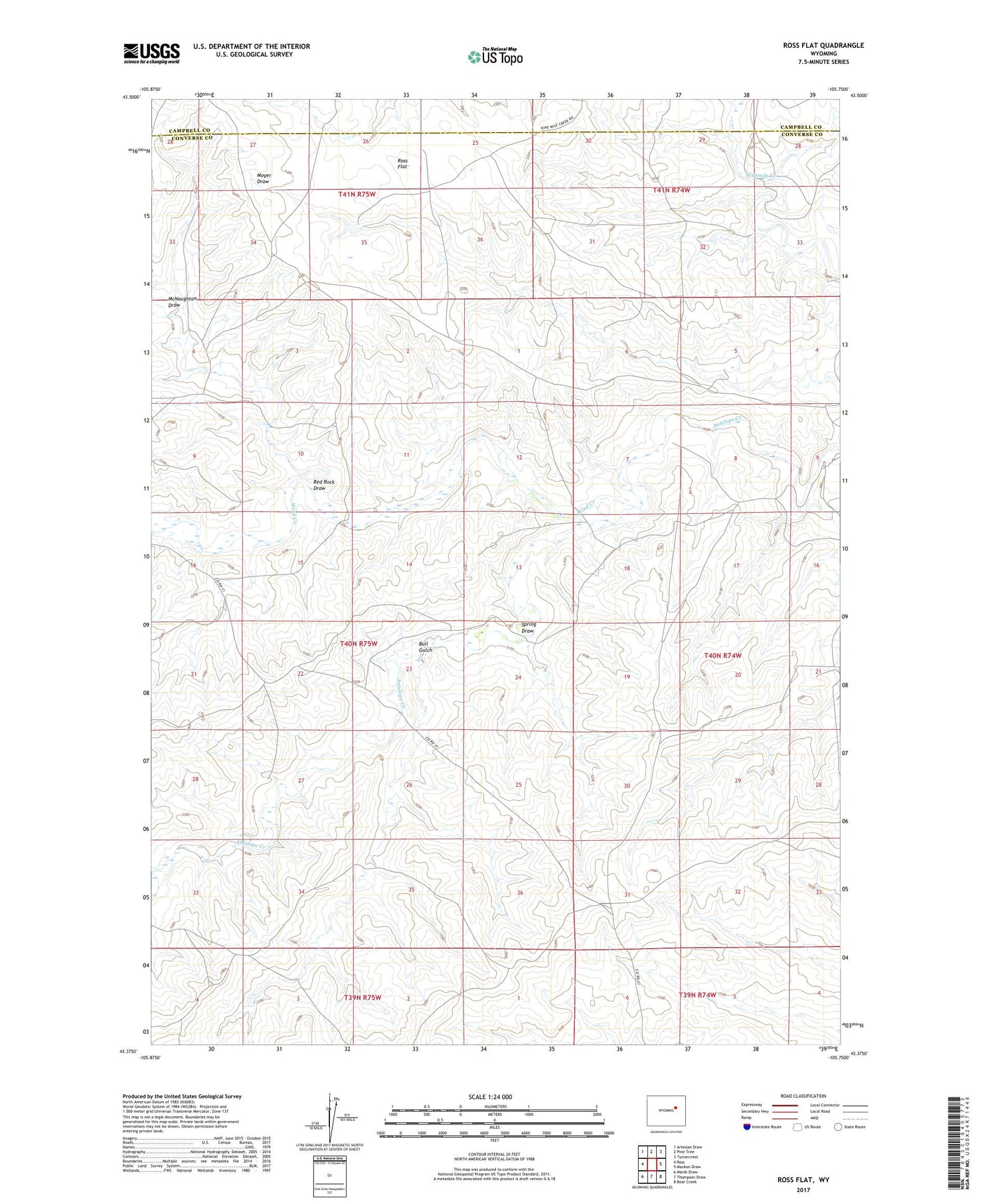
2021 topographic map quadrangle Ross Flat in the state of Wyoming. Scale: 1:24000. Based on the newly updated USGS 7.5' US Topo map series, this map is in the following counties: Converse, Campbell. The map contains contour data, water features, and other items you are used to seeing on USGS maps, but also has updated roads and other features. This is the next generation of topographic maps. Printed on high-quality waterproof paper with UV fade-resistant inks.
Quads adjacent to this one:
West: Ross
Northwest: Artesian Draw
North: Pine Tree
Northeast: Turnercrest
East: Macken Draw
Southeast: Bear Creek
South: Thompson Draw
Southwest: Marsh Draw
Contains the following named places: Bozeman Trail Monument, Bull Gulch, McNaughton Draw, Moore Ranch, Red Rock Draw, Ross Flat, Spring Draw, Wind Creek