MyTopo
Artesian Draw Wyoming US Topo Map
Couldn't load pickup availability
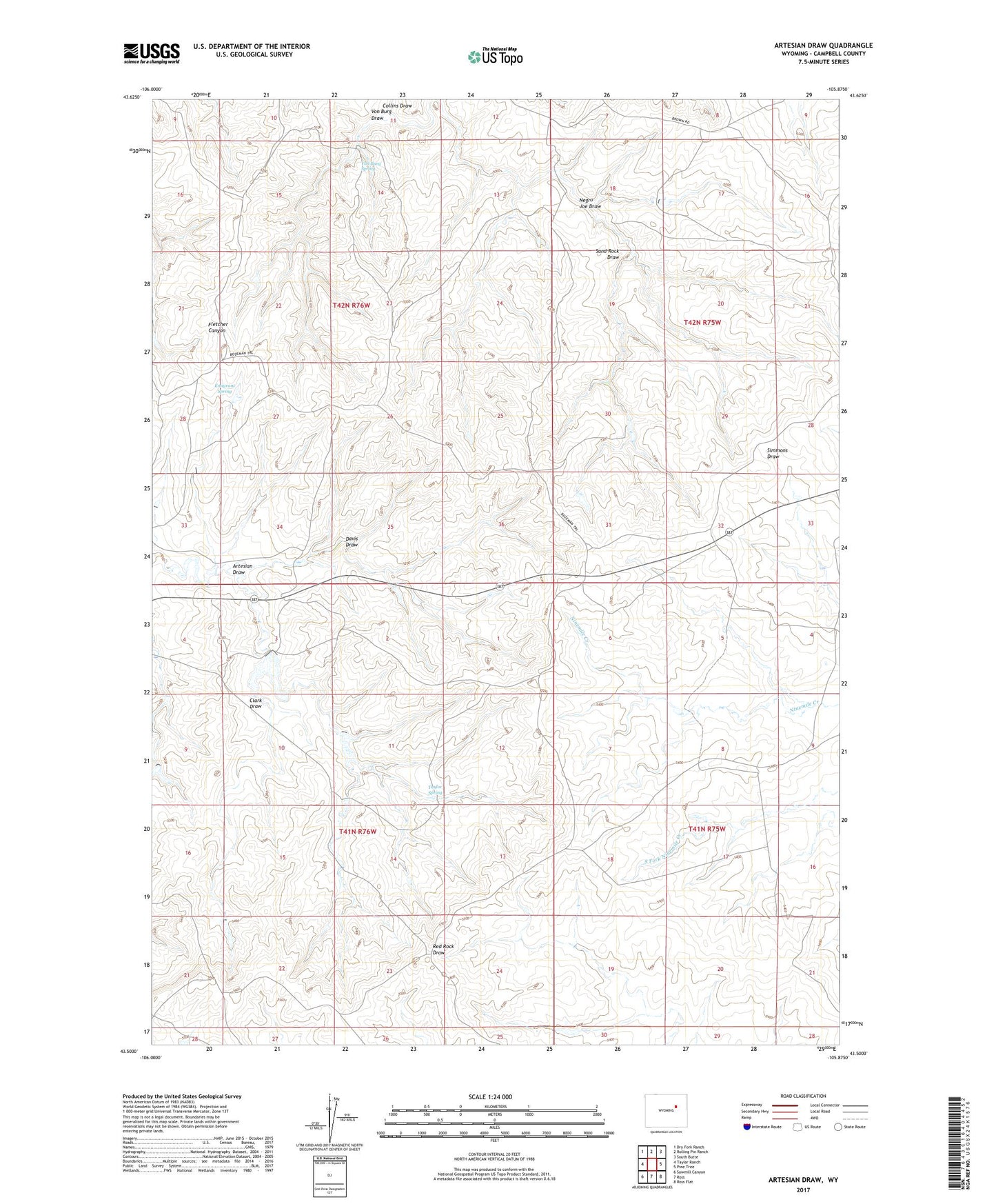
2021 topographic map quadrangle Artesian Draw in the state of Wyoming. Scale: 1:24000. Based on the newly updated USGS 7.5' US Topo map series, this map is in the following counties: Campbell. The map contains contour data, water features, and other items you are used to seeing on USGS maps, but also has updated roads and other features. This is the next generation of topographic maps. Printed on high-quality waterproof paper with UV fade-resistant inks.
Quads adjacent to this one:
West: Taylor Ranch
Northwest: Dry Fork Ranch
North: Rolling Pin Ranch
Northeast: South Butte
East: Pine Tree
Southeast: Ross Flat
South: Ross
Southwest: Sawmill Canyon
This map covers the same area as the classic USGS quad with code o43105e8.
Contains the following named places: Artesian Draw, Clark Draw, Emigrant Spring, Kerr McGee Mine, Mondle School, Negro Joe Draw, Sand Rock Draw, Taylor Spring, Von Burg Draw, Von Burg Spring