MyTopo
Roundup Draw Wyoming US Topo Map
Couldn't load pickup availability
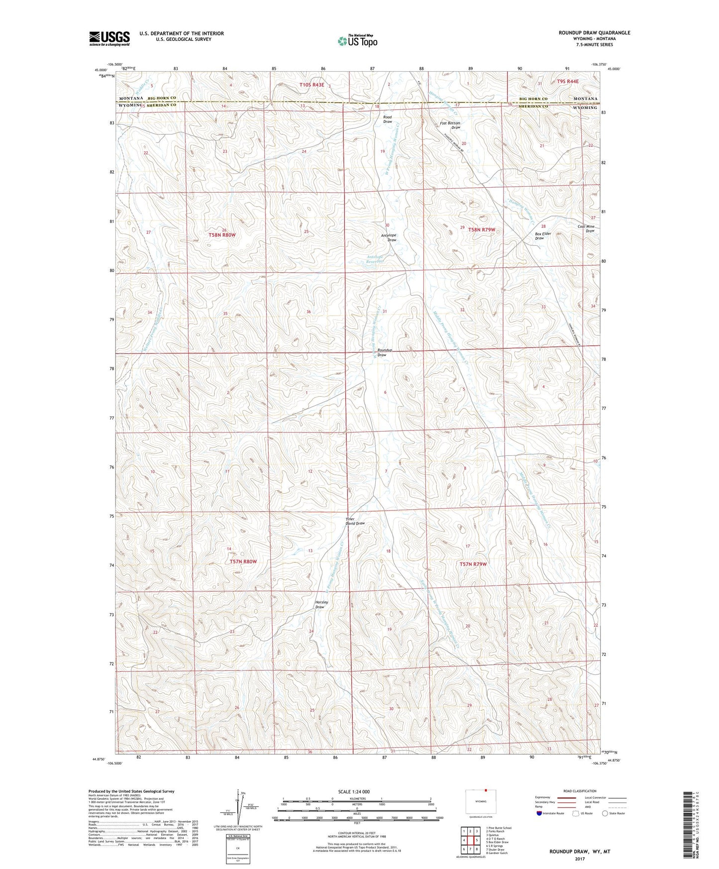
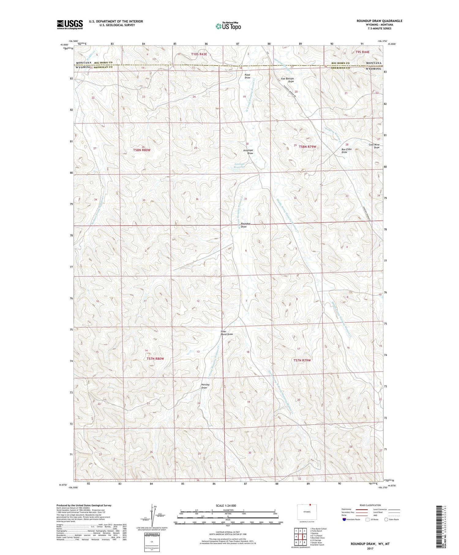
2021 topographic map quadrangle Roundup Draw in the states of Wyoming, Montana. Scale: 1:24000. Based on the newly updated USGS 7.5' US Topo map series, this map is in the following counties: Sheridan, Big Horn. The map contains contour data, water features, and other items you are used to seeing on USGS maps, but also has updated roads and other features. This is the next generation of topographic maps. Printed on high-quality waterproof paper with UV fade-resistant inks.
Quads adjacent to this one:
West: O T O Ranch
Northwest: Pine Butte School
North: Forks Ranch
Northeast: Quietus
East: Box Elder Draw
Southeast: Gardner Gulch
South: Shuler Draw
Southwest: S R Springs
Contains the following named places: 10S43E05BDBD01 Well, Antelope Draw, Antelope Reservoir, Box Elder Draw, Coal Mine Draw, Early Prong West Prong Hanging Woman Creek, Flat Bottom Draw, Horsley Draw, Middle Prong Hanging Woman Creek, Randall Prong Waddle Creek, Road Draw, Roundup Draw, Tiner David Draw, Weltner Prong Waddle Creek