MyTopo
Salt Flat Wyoming US Topo Map
Couldn't load pickup availability
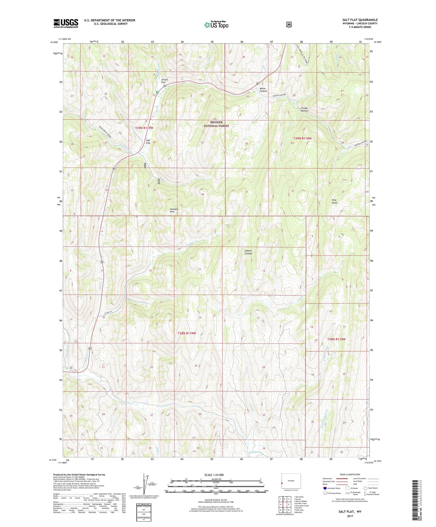
2021 topographic map quadrangle Salt Flat in the state of Wyoming. Scale: 1:24000. Based on the newly updated USGS 7.5' US Topo map series, this map is in the following counties: Lincoln. The map contains contour data, water features, and other items you are used to seeing on USGS maps, but also has updated roads and other features. This is the next generation of topographic maps. Printed on high-quality waterproof paper with UV fade-resistant inks.
Quads adjacent to this one:
West: Giraffe Creek
Northwest: Elk Valley
North: Smoot
Northeast: Mount Wagner
East: Porcupine Creek
Southeast: Big Park
South: Huff Lake
Southwest: Geneva
Contains the following named places: Allred Flat, Allred Flat Recreation Site, Coal Creek, Dipper Creek, East Fork Salt Creek, Giraffe Creek, Huff Creek, Little Muddy Creek, Little White Creek, Lost Creek, Packstring Creek, Pine Knoll, Salt Flat, Stoner Creek, Trough Hollow, Water Canyon