MyTopo
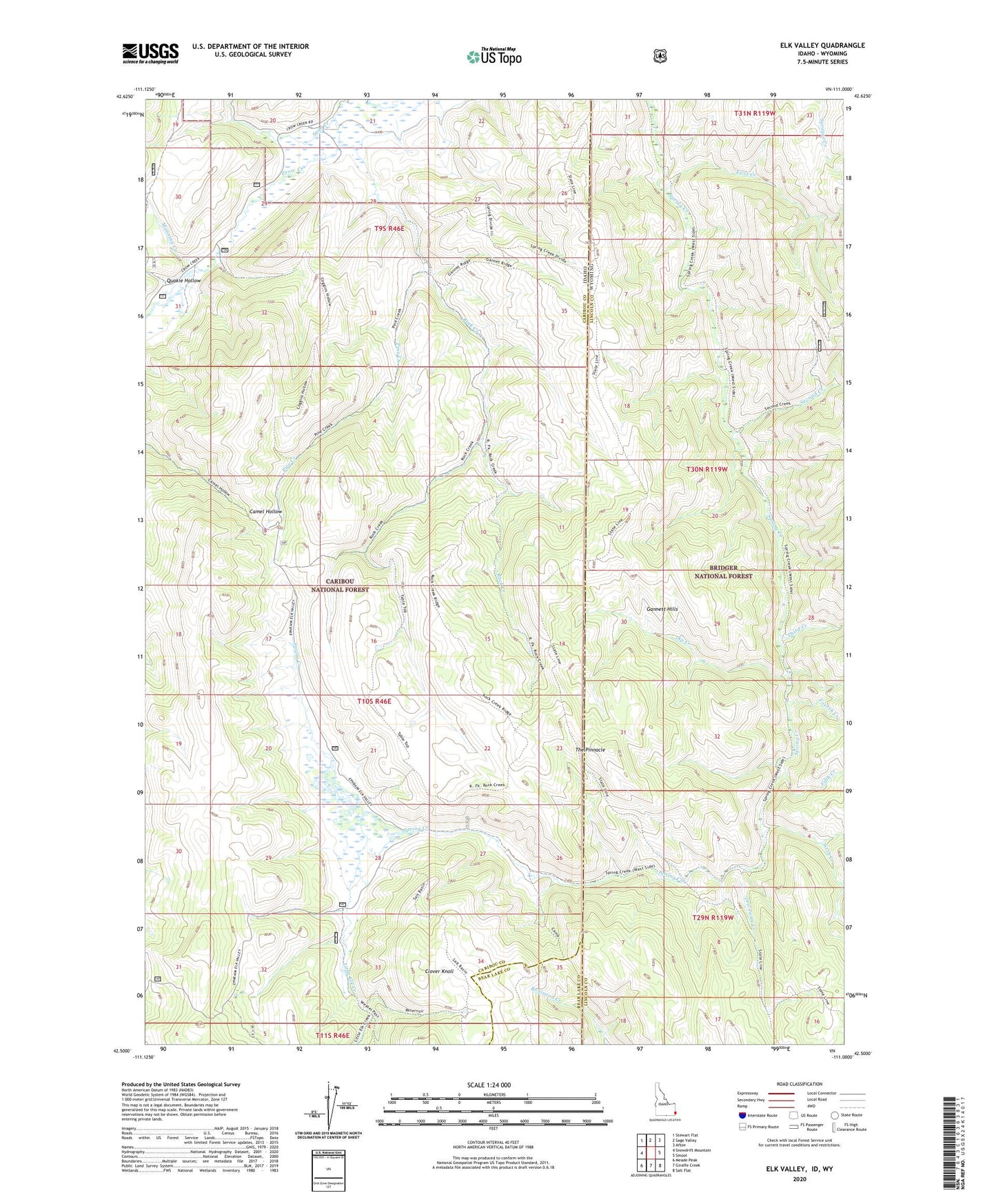
Elk Valley Idaho US Topo Map
Couldn't load pickup availability
Also explore the Elk Valley Forest Service Topo of this same quad for updated USFS data
2023 topographic map quadrangle Elk Valley in the states of Idaho, Wyoming. Scale: 1:24000. Based on the newly updated USGS 7.5' US Topo map series, this map is in the following counties: Caribou, Lincoln, Bear Lake. The map contains contour data, water features, and other items you are used to seeing on USGS maps, but also has updated roads and other features. This is the next generation of topographic maps. Printed on high-quality waterproof paper with UV fade-resistant inks.
Quads adjacent to this one:
West: Snowdrift Mountain
Northwest: Stewart Flat
North: Sage Valley
Northeast: Afton
East: Smoot
Southeast: Salt Flat
South: Giraffe Creek
Southwest: Meade Peak
Contains the following named places: Clover Knoll, Dip Creek, Driveway Creek, Fifth Creek, First Creek, Fourth Creek, Gannett Hills, Little Elk Creek, Manning Creek, Pine Creek, Quakie Hollow, Rock Creek, Sage Creek, Second Creek, Sixth Creek, The Pinnacle, Third Creek