MyTopo
Sheep Ridge Wyoming US Topo Map
Couldn't load pickup availability
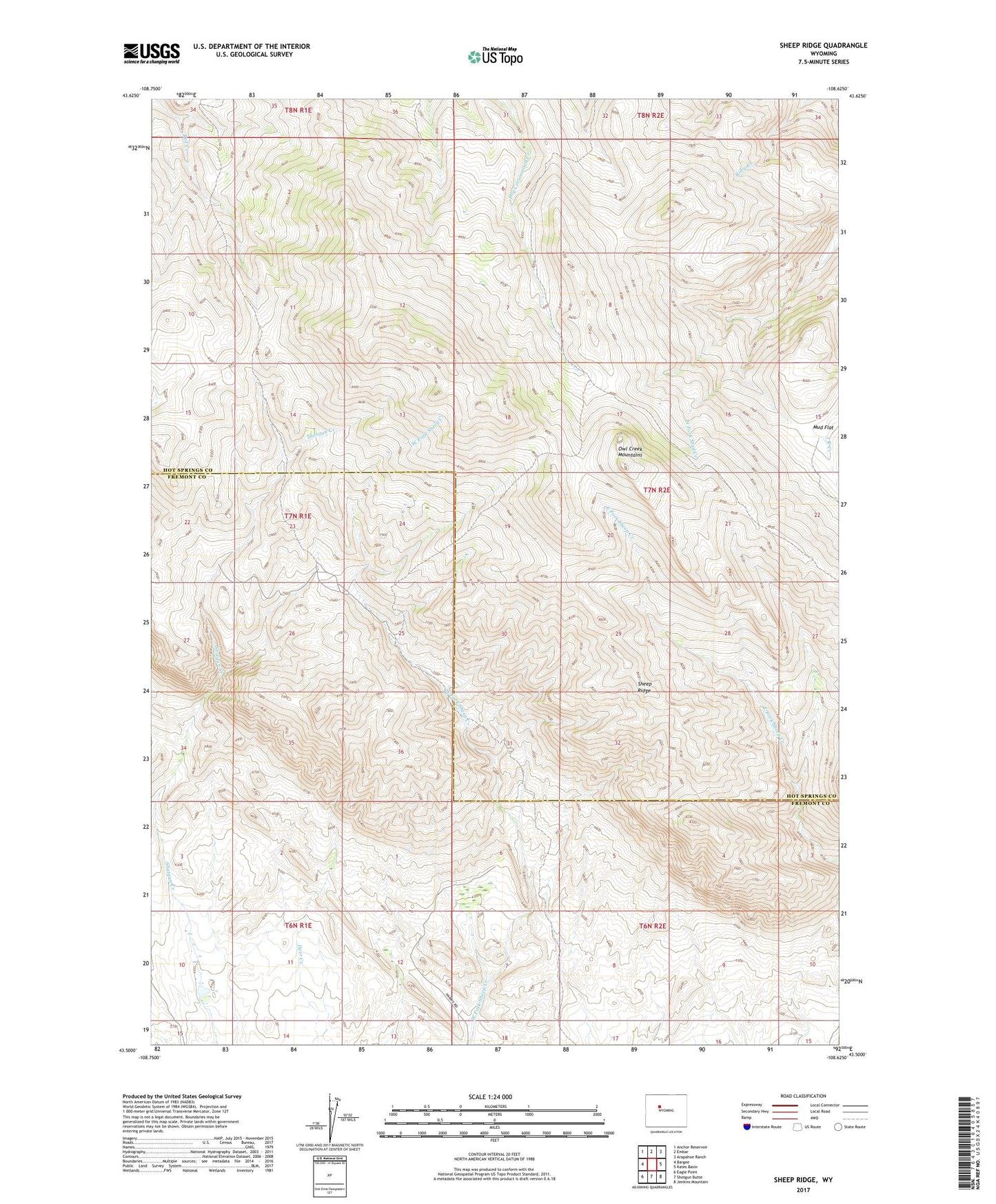
2021 topographic map quadrangle Sheep Ridge in the state of Wyoming. Scale: 1:24000. Based on the newly updated USGS 7.5' US Topo map series, this map is in the following counties: Hot Springs, Fremont. The map contains contour data, water features, and other items you are used to seeing on USGS maps, but also has updated roads and other features. This is the next generation of topographic maps. Printed on high-quality waterproof paper with UV fade-resistant inks.
Quads adjacent to this one:
West: Bargee
Northwest: Anchor Reservoir
North: Embar
Northeast: Arapahoe Ranch
East: Kates Basin
Southeast: Jenkins Mountain
South: Shotgun Butte
Southwest: Eagle Point
This map covers the same area as the classic USGS quad with code o43108e6.
Contains the following named places: Cottonwood Ranger Station, East Fork Sheep Creek Number One Mine, East Fork Sheep Creek Number Two Mine, Harris Ranch, Mud Flat, Sheep Ridge