MyTopo
Twelvemile Sink Wyoming US Topo Map
Couldn't load pickup availability
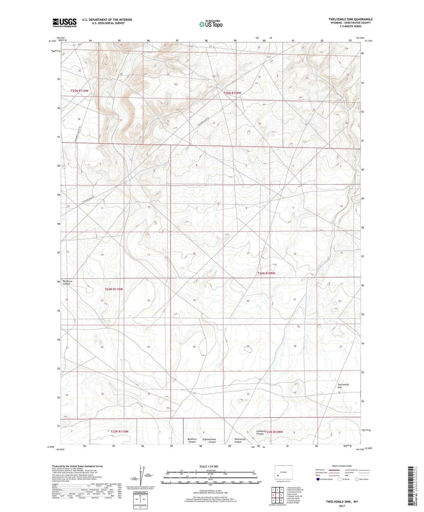
2021 topographic map quadrangle Twelvemile Sink in the state of Wyoming. Scale: 1:24000. Based on the newly updated USGS 7.5' US Topo map series, this map is in the following counties: Sweetwater. The map contains contour data, water features, and other items you are used to seeing on USGS maps, but also has updated roads and other features. This is the next generation of topographic maps. Printed on high-quality waterproof paper with UV fade-resistant inks.
Quads adjacent to this one:
West: Blue Forest
Northwest: Monument Butte
North: Monument Butte NE
Northeast: Twelvemile Knoll
East: Simpson Gulch SW
Southeast: Gasson Bridge
South: Thoman School
Southwest: McCullen Bluff
This map covers the same area as the classic USGS quad with code o42109a7.
Contains the following named places: Eighteenmile Well, Twelvemile Sink