MyTopo
Utah Deer GMU 1 Box Elder SW Map
Couldn't load pickup availability
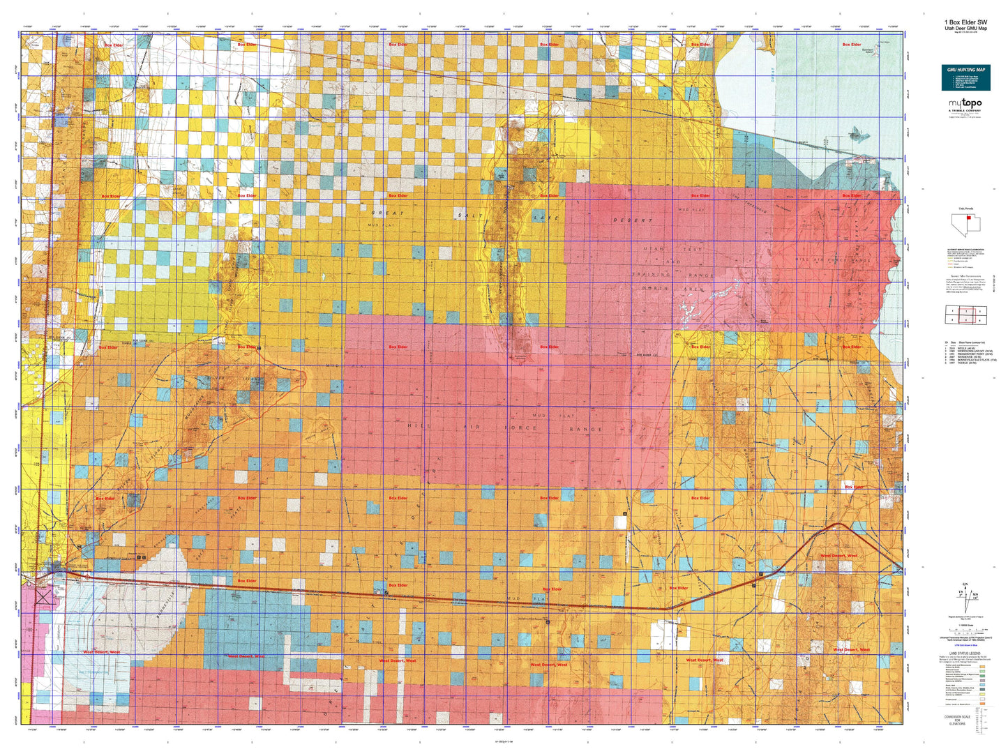
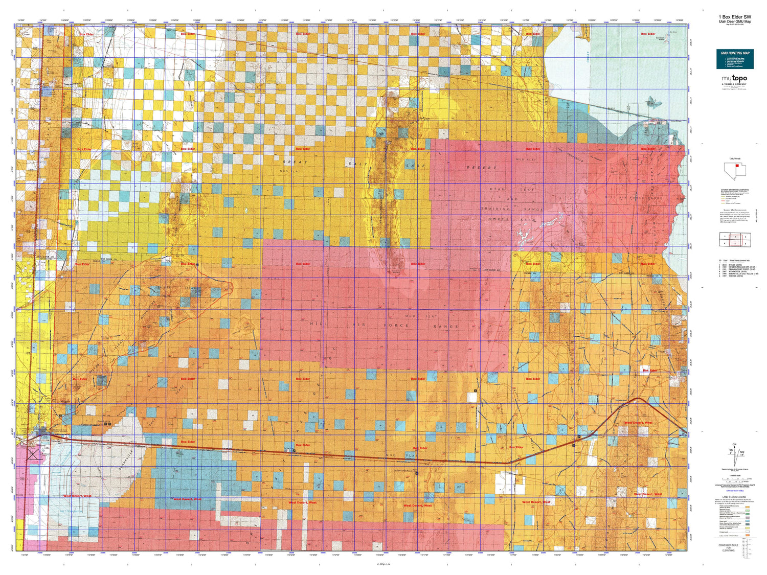
Hunting unit map of Utah Game Management Unit D-1-SW with topographic lines and unit boundaries. This topo map features UTM / MGRS and Latitude/Longitude grids, plus public land ownership. It comes folded on waterproof paper. Be fully prepared for your hunt with a MyTopo GMU map!.
This map contains the following named places: 84083,Allen,Aragonite,Arinosa,B and G,Bald Eagle Canyon,Bald Eagle Mountain,Barro,Bears Claw,Bertagnole Well,Bettridge Creek,Big Pass,Birch Canyon,Blair,Bonneville Dike,Bonneville Racetrack,Bonneville Salt Flats,Bonneville Salt Flats State Park,Buel Post Office,Buell,Byram Well,Campbell Canyon,Campbell Peak,Cave Canyon,City of Wendover,Clive,Clyman Bay,Cobb Peak,Cobble Hill,Cook Canyon,Copper Mountain,Corral Hollow,Cottonwood Springs,Cove Springs,Crater Island,Dairy Canyon,Danger Cave State Historical Monument,Dells Canyon,Deseret Well,Desert Peak,Donner Canyon,Donner Spring,Donner-Reed Pass,Donner-Reed Trail,East Canyon,East Grassy Mountain Well,Eastline,Finger Ridge,Floating Island,German Valley,German Valley Well,Government Well,Governors Spring,Graham Peak,Grassy Mountains,Grayback Hills,Great Salt Lake Desert,Groome,Grouse Creek,Grouse Creek Sinks,Halls Meadow,Hogans Alley,Hogup,Hogup Point,Hogup Pump Station Heliport,Hogup Pumping Station,Hogup Ridge,Hot Rod Track,Indian Spring,International Racetrack,International Racetrack Overrun,Jenkins Canyon,Jenkins Peak,Keller Well,Killian Springs,Knoll I-80 Heliport,Knolls,Lamus Peak,Lemay Island,Leppy Pass,Lion Mountain,Little Pigeon Mountains,Lost Canyon,Low,Lucin Mining District,McGinty Canyon,McGinty Ridge,McLaughlin Spring,Metaphor: Tree of Utah,Mineral Mountain,Miners Basin,Miners Canyon,Miry Wash,Needle Point,Newfoundland,Newfoundland Dike,Newfoundland Evaporation Basin,Newfoundland Mountains,Oasis,Olney,Parson Springs,Patterson Pass,Patterson Pass Spring,Pearson Ranch,Pilot Creek,Pilot Range,Pinky Ridge,Porter Well,Puddle Valley Knolls,Quartzite Canyon,Rio Buenaventura Canal,Ripple Valley,Rishel Peak,Round Mountain,Salduro,Sheep Range Spring,Silsbee,Silver Island,Silver Island Canyon,Silver Island Mountains,Silver Island Pass,Sleigh Canyon,South Patterson Spring,South Puddle Valley Well,Strongknob,Swan Well,Tank Ridge,Tetzlaff Peak,The Church of Jesus Christ of Latter Day Saints,The Threshold,Thumb Ridge,Thumb Well,Tooele County Sheriff Department Wendover Substation,Trail Canyon,Tunnel Spring Number 1,Tunnel Spring Number 2,Tuttle,United States Pollution Control Heliport,Utah Highway Patrol Section 8 Wendover Office,Utah Test and Training Range-North,Volcano Peak,Wendover,Wendover Air Force Base,Wendover Airport,Wendover Airport Fire Department,Wendover Cemetery,Wendover City Fire Department,Wendover Field,Wendover Heliport,Wendover High School,Wendover Peak,Wendover Police Department,Wendover Post Office,West Wendover Elementary School,West Wendover Fire Department,West Wendover Junior/Senior High School,Willow Canyon,Willow Spring,Window Rock


