MyTopo
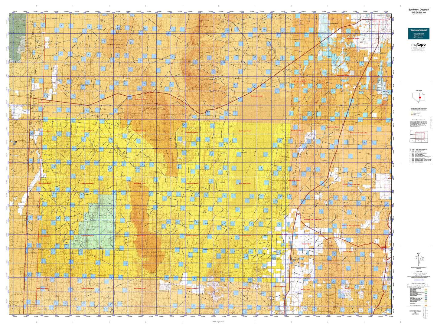
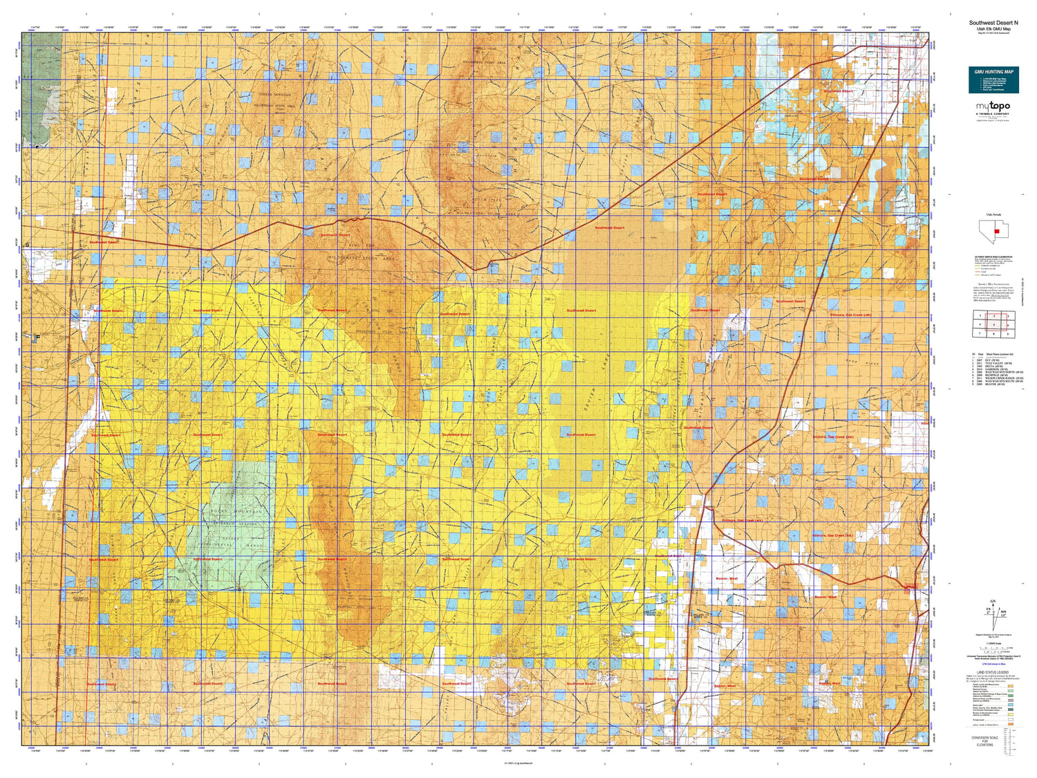
Utah Elk GMU Southwest Desert N Map
Couldn't load pickup availability
Hunting unit map of Utah Game Management Unit ELK-SouthwestN with topographic lines and unit boundaries. This topo map features UTM / MGRS and Latitude/Longitude grids, plus public land ownership. It comes folded on waterproof paper. Be fully prepared for your hunt with a MyTopo GMU map!.
This map contains the following named places: Antelope Mountain,Antelope Valley Wash,AT T Road Reservoir,Badger Knolls,Badlands,Bagnall Corral,Bailey Mountain,Baker Creek,Baldy,Bearskin Mountain,Beaver Bottoms,Beaver Lake Mountains,Beaver River,Beaver River Reservoir,Beaver-Harrison Mine,Big Cedar Cove,Big Sage Reservoir,Big Spring Wash,Big Springs Creek,Big Wash,Bitterweed Lake,Black Rock,Black Rock Mine,Bloom,Bloom Trail Reservoir,Blueacre,Borden,Borden Basin Reservoir,Brecks Knoll,Brown Knoll,Browns Hole,Bullgrass Knoll,Burbank,Cactus Mine,Carbonate Mine,Carr Lake,Cat Canyon Reservoir,Cat Knoll,Cedar Pass Reservoir,Central Pine Reservoir,Chamisa Reservoir,Chokecherry Creek,Clay Knoll,Clay Knoll Reservoir,Clear Lake,Coates Reservoir,Conger Mountain,Conger Reservoir,Construction Reservoir,Copper Mountain Mine,Copper Ranch Mine,Cove Creek,Cow Track Reservoir,Coyote Knolls,Crafts Lake,Cricket Reservoir,Crows Nest,Cruz,Crystal Peak,Cudahy Mine,Cupric Mine,Davies Ranch,Deadman Reservoir,Dearden Ranch,Desert Experimental Range,Desert Ranch Reservoir,Desert Range Experimental Station Headquarters,Drum Shaft,Dutchman Reservoir,East Antelope Reservoir,East Hardpan Reservoir,Ecks Knoll,Ecks Knoll Reservoir,Electric Fence Reservoir,Eskdale,Fillmore Wash Reservoir,Five Points,Fossil Mountain,Frisco,Frisco Contact Mine,Frisco Peak,Galena Mine,Garrison,Garrison-Sevier Lake Division,Georges Reservoir,Golden Reef Mine,Grampian Hill,Grassy Cove,Gray Hills,Great Stone Face,Halfway Hills,Halfway Summit,Halls Double Reservoir,Hamblin Valley Flood Water Wash Ditch,Hamlin Valley Wash,Hardpan Reservoir,Hawks Nest,Headlight Mountain,Headquarters Reservoir,Hell'n Moriah Kitchen,Hendries Mill,Hendrys Creek,Hodgsen Pond,Hole in the Ground,Horn Silver Mine,Horse Heaven,Horsetrap Reservoir,Hyde Wash,Ibex,Ibex Corral,Imperial Mine,Indian Grave Peak,Indian Queen Mine,Indian Queen Reservoir,Iron Basin,Jackson Pond,Johnson Pond,Kelleys Place,Kells Knolls,King Cove,King Top,Knoll Hill,Lake Creek,Lakeview Reservoir,Lawson Cove Reservoir,Lexington Creek,Lime Mountain,Little Bearskin Mountain,Little Cedar Cove,Little Frisco Mountains,Little Horse Heaven,Little Valley,Long Point of the Buckskins,Long Ridge Reservoir,Lopers Cabin,Madsen Reservoir,Malone,Middle Mountain,Middle Point of the Buckskins,Millard County,Miller Canyon Reservoir,Miller Mountain,Mormon Gap Reservoir,Mud Flat Reservoir,Murdock,Needle Hardpan Reservoir,Needle Point,Needle Point Mountain,Needle Reservoir,Neels,Negro Mag Wash,Newhouse,Newhouse Reservoir,Nielson Pond,North Twin Peak,Notch Peak,Old Channel Sevier River,Old King David Mine,Old River Bed,Painted Potholes,Painted Rock Mountain,Petes Knoll,Pine Pass Reservoir,Pine Peak,Poison Mountain,Pony Express Reservoir,Pot Mountain,Preuss Lake,Probst Corral,Probst Pond,Pyramid Knoll,Quartz Creek,Rain Lakes,Range Headquarters,Read,Red Hills,Red Ledges,Red Rock Knoll,Red Tops,Red Valley,Robison Ranch,Rocky Knoll,Ryan Ranch,Salt Cove Reservoir,Sawtooth Mountain,School Bus Corral,Sevier Lake,Sevier Lake Reservoir,Sevier River,Sheep Dip Trough,Shotgun Knoll,Silver Creek,Sinks of Baker,Smyths,Snake Creek,Snake Pass Reservoir,Soap Wash,Soap Wash Reservoir,Sols Knoll,South Cedar Wash Reservoir,South Fork Hendrys Creek,South Twin Peak,Spring Creek,Stage Road Reservoir,Steamboat Mountain,Steamboat Pass Reservoir,Styler Reservoir,Swan Lake,Swan Lake Salt Marsh,Swasey Wash,Table Mountain,Tamarack Reservoir,The Barn,The Hermits Cabin,The Toad,Thompson Knoll,Thompson Knoll Reservoir,Toms Knoll,Tow Rock Charcoal Kilns,Tweedy Wash,Twin Peaks,Two Rock Charcoal Kilns,Wah Wah Ranch,Wah Wah Summit,Wallaces Peak,Warm Point,Watsons Cow Pond,Weaver Creek,West Clay Knoll Reservoir,West Neels Reservoir,White Sage Valley,Wild Horse Corral,Wildhorse Mountain,Wintch Reservoir,Young Ranch


