MyTopo
Wyoming Antelope GMU 27 Map
Couldn't load pickup availability
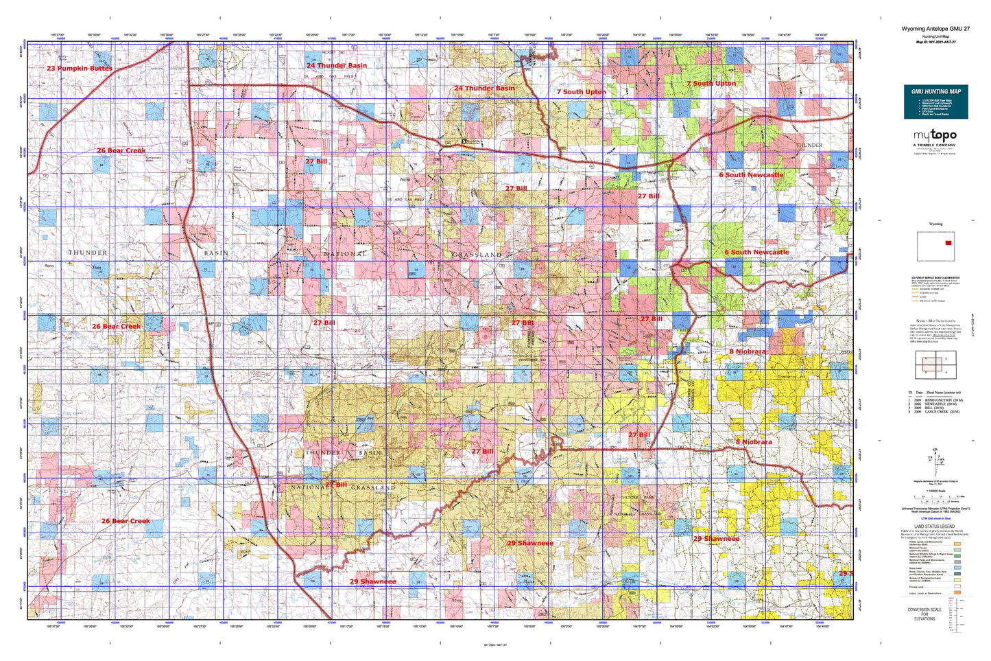
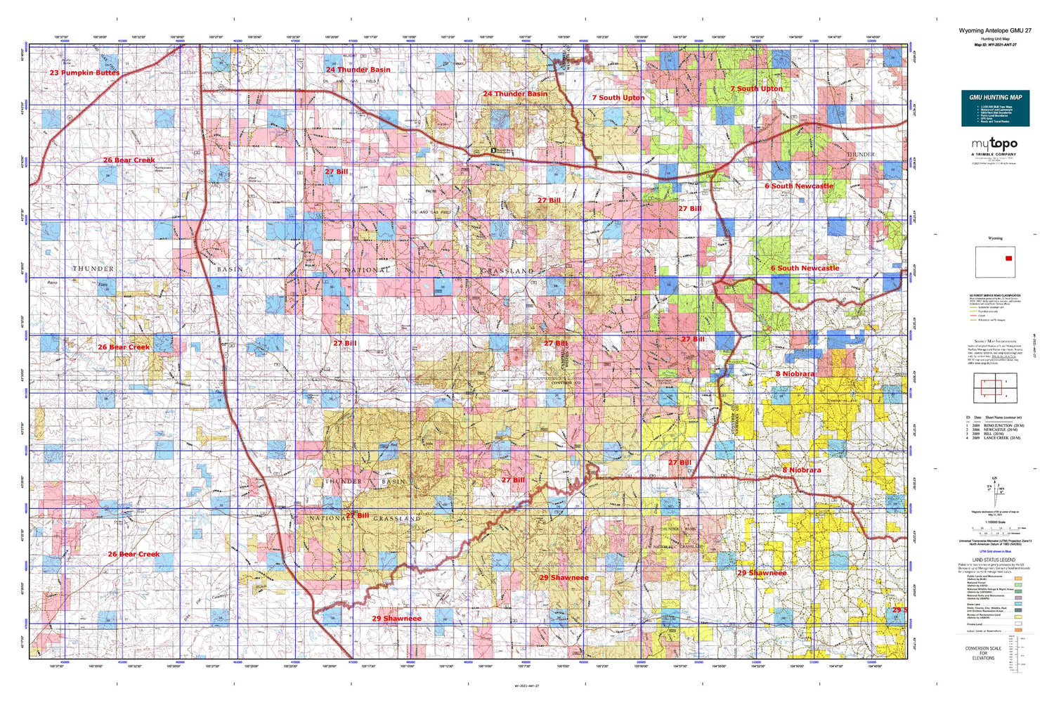
Hunting unit map of Wyoming Game Management Unit ANT-27 with topographic lines and unit boundaries. This topo map features UTM / MGRS and Latitude/Longitude grids, plus public land ownership. It comes folded on waterproof paper. Be fully prepared for your hunt with a MyTopo GMU map!.
This map contains the following named places: Antelope Creek,Antelope Flat,Antelope Mine,Bad Creek,Barker Draw,Bates Creek,Bear Creek,Bear Creek Number 1 Dam,Bear Creek Number 1 Reservoir,Beckwith Creek,Beckwith Dam,Beckwith Reservoir,Bernard Ranch,Betty Number 1 Dam,Betty Number 1 Reservoir,Betty Reservoir,Betty Supply Ditch,Black Butte,Black Butte Creek,Black Butte Draw,Black Thunder Mine,Boss Draw,Bridle Bit Ranch,Browner Draw,Bruce Draw,Buck Draw,Burning Coal Draw,Buzzard Creek,Calamity Gulch,Carson Ranch,Coal Bank Draw,Coal Draw,Coal Mine School,Conley Draw,Corder Creek,Cosner Ranch,Cripple Creek,Cummings Mine,Dale Creek Mine,Darlington Draw,Darlington Ranch,Darlington School,Dilts Flat,Dilts Ranch,Dilts Ranch Airport,Dilts School,Dorr Dam,Dorr Reservoir,Dry Fork Cheyenne River,Dugout Creek,Dull Center,Dull Reservoir,East Fork Lake Creek,East Fork Meadow Creek,East Logan Draw,Edwards Ranch,Esau Spring,F C R Detention Dam,F C R Detention Reservoir,Federer Draw,Fiddleback Ranch,Ford Draw,Frog Creek,Frog Creek Dam,Frog Creek Number 1 Reservoir,Frog Creek Oil Field,Gibson Draw,Good Draw,Gray Butte,Gray Creek,Green Draw,H Nachtman Number 1 Dam,Haefele Draw,Haefele Ranch,Hansen Draw,Hansen Spring,Holmes Creek,Horse Creek,Irene Ranch,Irwin Ranch,Jacob Ranch Mine,Jacobs Ranch,Jenne Ranch,Johnson Draw,Keaton Number Fs 9 249 13 Dam,Keaton Number Fs 9 249 13 Reservoir,Keeline Ranch,Keyton Creek,Lake Creek,Lazy Y Number 1 Dam,Lazy Y Number 1 Reservoir,Little Bates Creek,Little Porcupine Creek,Little Thunder,Little Thunder Creek,Little Thunder Reservoir,Logan Draw,Lonetree Creek,Lynch Ranch,M Creek,M W Spring,Mackey Ranch,Maycock Spring,Meadow Creek,Miller Hills,Morton Number 1 Dam,Morton Number 1 Reservoir,Morton Number F S 9-231-38 Dam,Morton Number F S 9-231-38 Reservoir,Nachtman Draw,Nachtman Ranch,Nachtman Reservoir,Nachtman School,Nicholson Draw,North Porcupine Creek,North Prong Little Thunder Creek,Old Verse,Olson Draw,Patterson Ranch,Pellatz Ranch,Philips Draw,Piney Canyon,Piney Creek,Piney Draw,Pinnacle Rocks,Porcupine Creek,Porcupine Dam,Porcupine Reservoir,Potter Pit,Prairie Creek,Rattlesnake Butte,Rattlesnake Draw,Rawles Draw,Red Hills,Red Spring,Reed Draw,Reno Creek Project Mine,Reno Dam,Reno Flats,Reno Number 1 Dam,Reno Number 1 Reservoir,Reno Ranch,Reno Reservoir,Robertson Flat,Rochelle,Rochelle Hills,Rock Creek,Rock Spring,Saddler Ranch,Sage Draw,Saint Francis Church,Sand Creek,Sauerkraut Draw,School Creek,Sheep Creek,Sherwin 9-249-6 Dam,Sherwin 9-249-6 Reservoir,Sherwin Dam,Sherwin Field Number 1 Airport,Sherwin Reservoir,Sioux Ranch,Small Ranch,Sod House Pit,Spencer 9-250-2 Dam,Spencer 9-250-2 Reservoir,Spracklen Ranch,Spring Creek,Steckley Ranch,Steinle Ranch,Stevic Ranch,Sunny Draw,Sunshine Valley Ranch,Teckla,Teckla Number 1 Dam,Teckla Number 1 Reservoir,Teckla Number Fs 9 298 4 Dam,Teckla Number Fs 9 298 4 Reservoir,The Dry Lake,Thomas Draw,Thunder Basin Coal Company - Black Thunder Mine Fire Department,Thunder Basin National Grassland,Thunder Basin Number 10 Dam,Thunder Basin Work Center,Tin Can Lake,Trussler Creek,U.S. Forest Service Number One Mine,U.S. Forest Service Number Three Mine,U.S. Forest Service Number Two Mine,Underwood Crossing,Underwood Draw,Underwood Mine Number One,Underwood Mine Number Two,Underwood Ranch,Verse,Vest Draw,W 4 Ranch,Wagonhound Creek,Wellman Ranch,West Fork Beckwith Creek,West Fork Rattlesnake Draw,West Logan Draw,West Prong Spring Creek,Wildcat Creek,Wildinson Ranch,Willow Draw,Woody Creek


