MyTopo
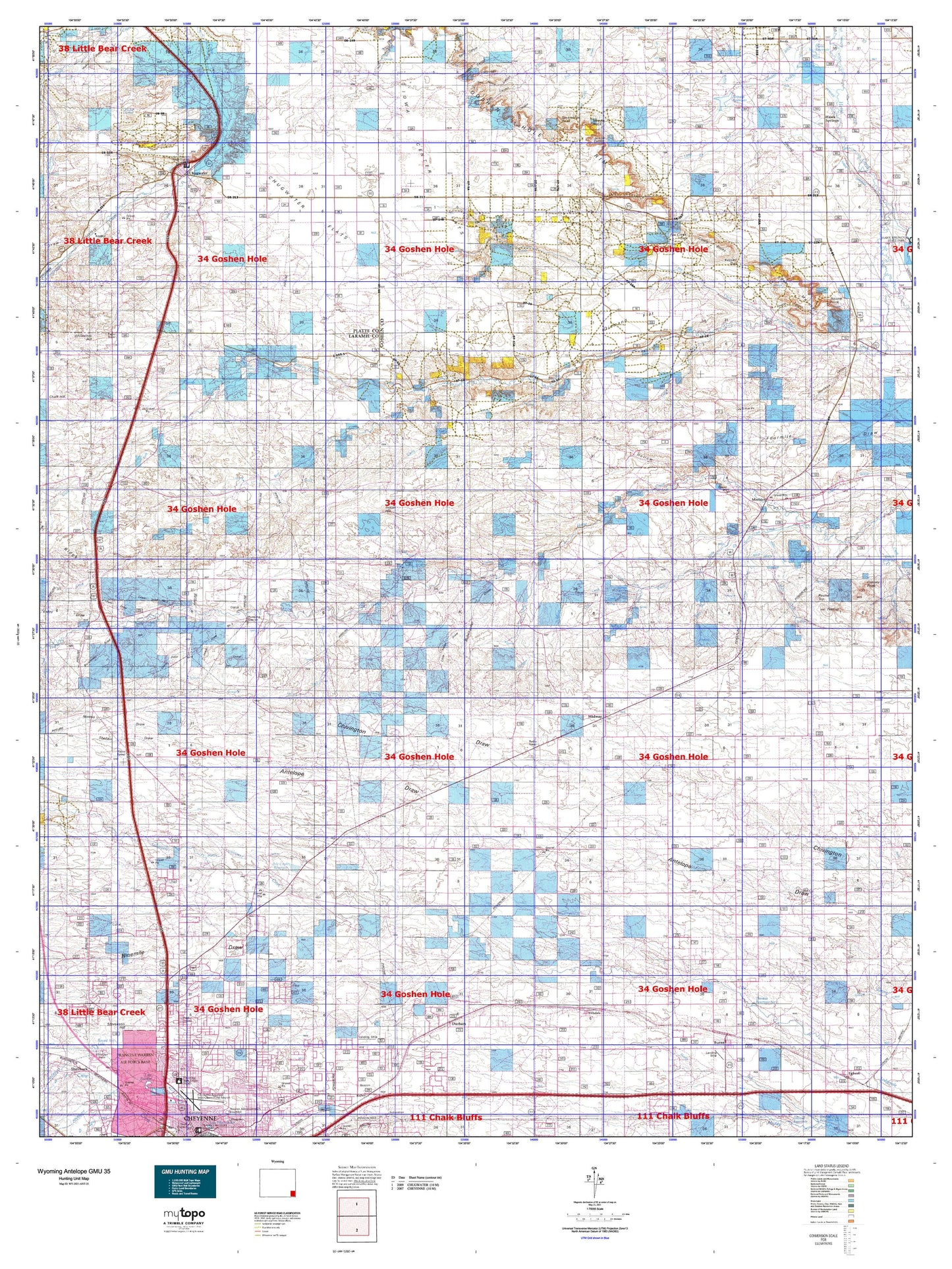
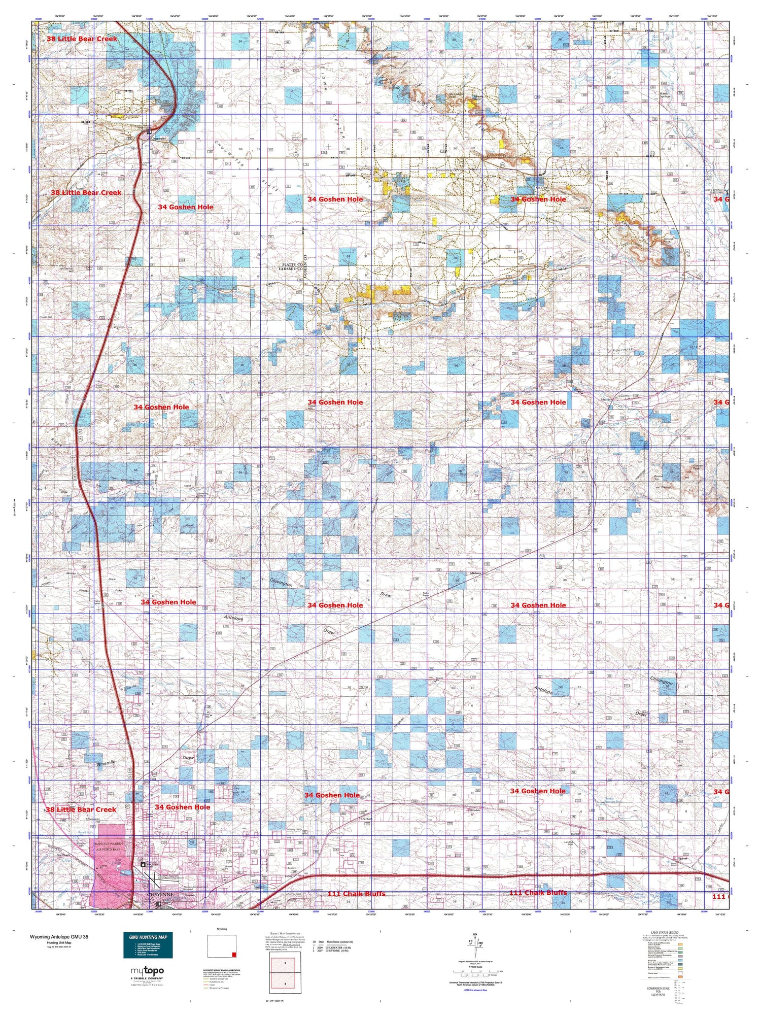
Wyoming Antelope GMU 35 Map
Couldn't load pickup availability
Hunting unit map of Wyoming Game Management Unit ANT-35 with topographic lines and unit boundaries. This topo map features UTM / MGRS and Latitude/Longitude grids, plus public land ownership. It comes folded on waterproof paper. Be fully prepared for your hunt with a MyTopo GMU map!.
This map contains the following named places: 7 Mile Corral,82009,82050,82053,82060,82081,82210,82221,A X Ranch,Adamson Ditch Number 3,Atterberry Canyon,Augur Hill,Babbitt Dam,Babbitt Reservoir,Badger Branch,Bear Creek Ditch,Bear Mountain,Beaver Camp,Bell Corral,Berry Camp,Berry Ranch,Bert Gillaspie Ranch,Bliss Pumping Station,Brinton,Brown Ranch,Brunyansky Draw,Bull Spring,Bull Spring Creek,Bullwhacker Draw,Burns,C P Ranch,C S Ranch,C W Dam,C W Reservoir,Canyon View Ranch Airport,Carey Horse Creek Ditch Number 1,Carey Horse Creek Ditch Number 10,Carey Horse Creek Ditch Number 5,Carey Horse Creek Ditch Number 6,Carey Horse Creek Ditch Number 9,Carey Number 1 Dam,Carey Reservoir Number 1,Cattail Creek,Cattail Ranch,Cheyenne East Division,Chugwater,Chugwater Flats,Coad Dam,Coad Ditch,Coad Reservoir,Cow Creek,Coyote Camp,Coyote Mill Camp,Curty Run,D Kirkbride Ranch,Dater Creek,Diamond Flat,Divide Camp,Donahue Dam,Donahue Ditch,Donahue Reservoir,Donahue Spring,Dorothy Lavalleur Burial Site,Double Lazy T Ranch,Dry Creek,Dunn Reservoir,Durbin Ditch,Durham,Duroc,E-7 Ranch,Eagle Camp,Experiment Station Dam,Flattop,Fork Camp,Fox Creek,Fox Creek Gap,Garden Ditch,Gethsemane Gardens Cemetery,Gilbert Hill,Goggins School,Goshen Hole Division,Gregory Ranch,Griffin Homestead,Hawk Springs,Hawk Springs Census Designated Place,Hawk Springs Ditch,Herrick Creek,High Plains Grasslands Research Station,Hillsdale,Hillsdale Cemetery,Hillsdale Census Designated Place,Hillside Camp,Home Ditch,Homes Ranch,Howery Dam,Howery Reservoir,Hoyt Creek,Hoyt Duvall Ranch,Hughes Ditch,Hughes Reservoir,Hunter Ranch,Indian Hill,Iowa Center Flats,Iowa Flats Cemetery,J H D Number 1 Dam,J H D Ranch,J H D Reservoir Number 1,J H D School,J H D Supply Ditch,J R Ranch,Jackson Canyon,JHD Dry Camp,Johnson Ranch,Kelley Draw,Kessler Canyon,Kessler Ditch,Kessler Gap,Kruger Camp,L Kirkbride Ranch,Laramie County,Latham Spring,Lewis Draw,Lewis Draw Number 2,Lewis Draw Number 3,Lewis Draw Number 4,Lewis Draw Number 5,Lewis Draw Number 6,Lewis Ranch,Little Bear Creek,Little Horse Creek,Little Horse Creek Number 4 Ditch,Little Indian Camp,Little Indian Draw,Little Josh Canyon,Lone Tree Canyon,Lovercheck Canyon,Lovercheck Ditch,Lower J H D Sheds,Luey Huey Camp,Mable Ranch,Marsh Dam,Marsh Reservoir Number 2,Meriden,Meriden Cemetery,Middle Camp,Middle Creek,Midway,Mills Creek,Moffett Ranch,Morrie Ranch,Mountain View Memorial Park,Mud Spring,Needle Draw,Needle Rock,Nimmo Draw,Ninemile Draw,North Bear Creek,North Creek,North Lodgepole Ditch,North Mill Camp,North Well,Number 1 Reservoir,Number 5 Reservoir,Number 6 Reservoir,One Mile Dam,One Mile Reservoir,Otto Ranch,P O Ranch,Pasture Mill Camp,Peach Lake,Peogh Camp,Petsch Ranch,Pole Creek Farm,Pole Creek Ranch,Pole Creek Reservoir,Prong Horn Camp,Rabbit Camp,Ramsey Ditch,Ranchettes,Ranchettes Census Designated Place,Rhoder Windmill,Richards Hall,Robinson Place,Rocky Hollow,Round Top,Round Top Lake,Sam Moore Canyon,Sawmill Canyon,School Section Camp,Schwab Ditch,Scoon Ranch,Shelton Draw,Sinnard Dam,Sinnard Ditch,Sinnard Reservoir,Skyview Airpark,Smith Ranch,Snow Ranch,Snyder Well Number 20,South Fork Bear Creek,Sprager Creek,Spring Run,Springvale Ditch,Springvale Number 1 Ditch,Springvale Number 2 Ditch,Sprinkler Geyser,Squaw Rock,Steamboat Rock,Stevenson Hill,Sugar Bowl Rock,The South Windmill,Thomas Number 2 Dam,Thomas Number 2 Reservoir,Thomas Reservoir Number 1,Thomas Reservoir Number 2,Tinker Windmill,Tomato Camp,Town of Burns,Town of Chugwater,Trail Creek,Trail Creek Camp,Trelona,Upper J H D Camp,Vowers Ranch Airport,Weaver Homestead,Whitcomb Hill,Whitcomb Ranch,Wilkins Ranch,Wilkinson Place,Wood and Lykins Ditch,Woodard Ditch,YBO Canyon,YBO Hill,Yellowstone Corral,YOS Canyon


