MyTopo
Wyoming Antelope GMU 71 Map
Couldn't load pickup availability
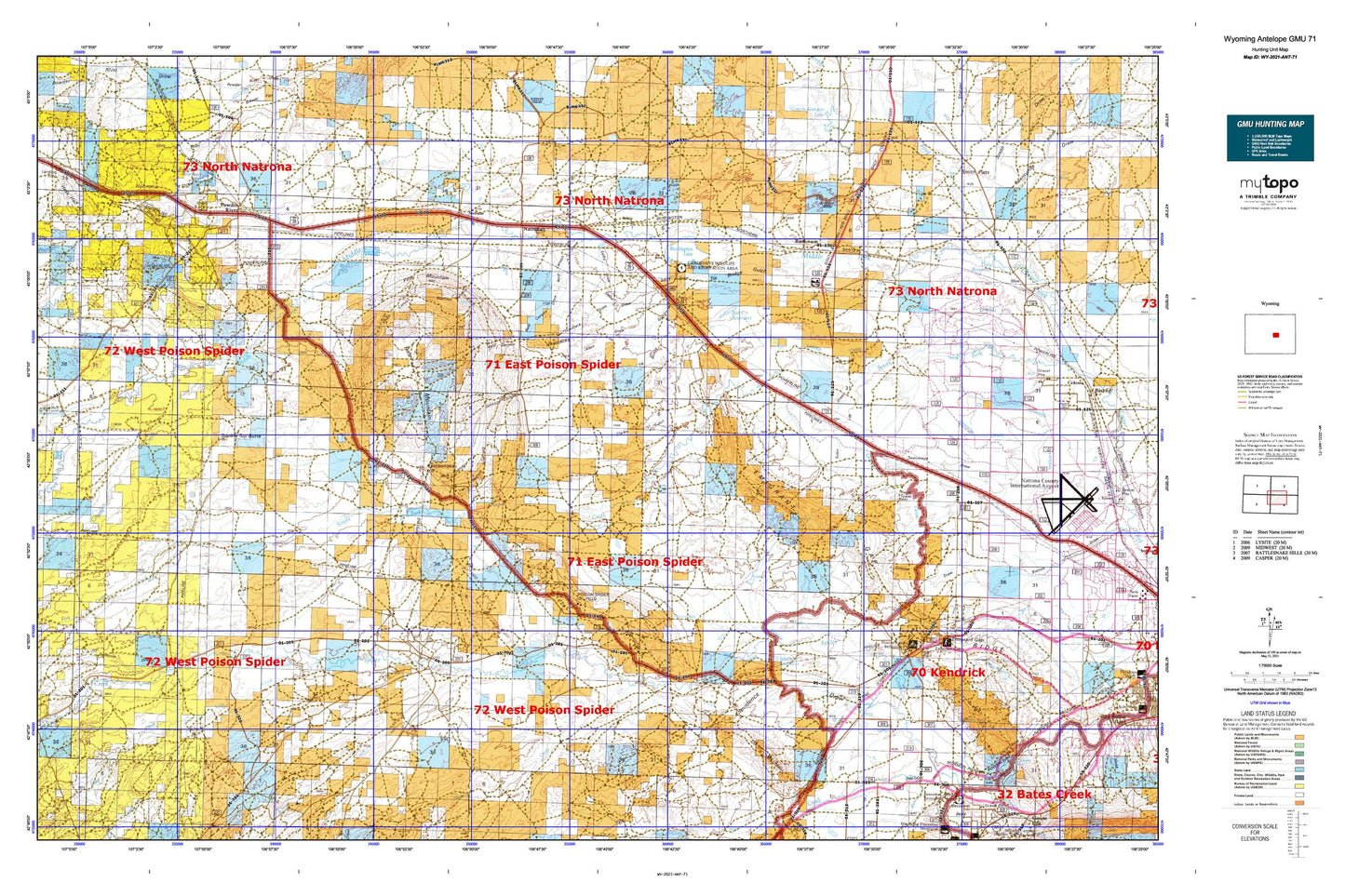
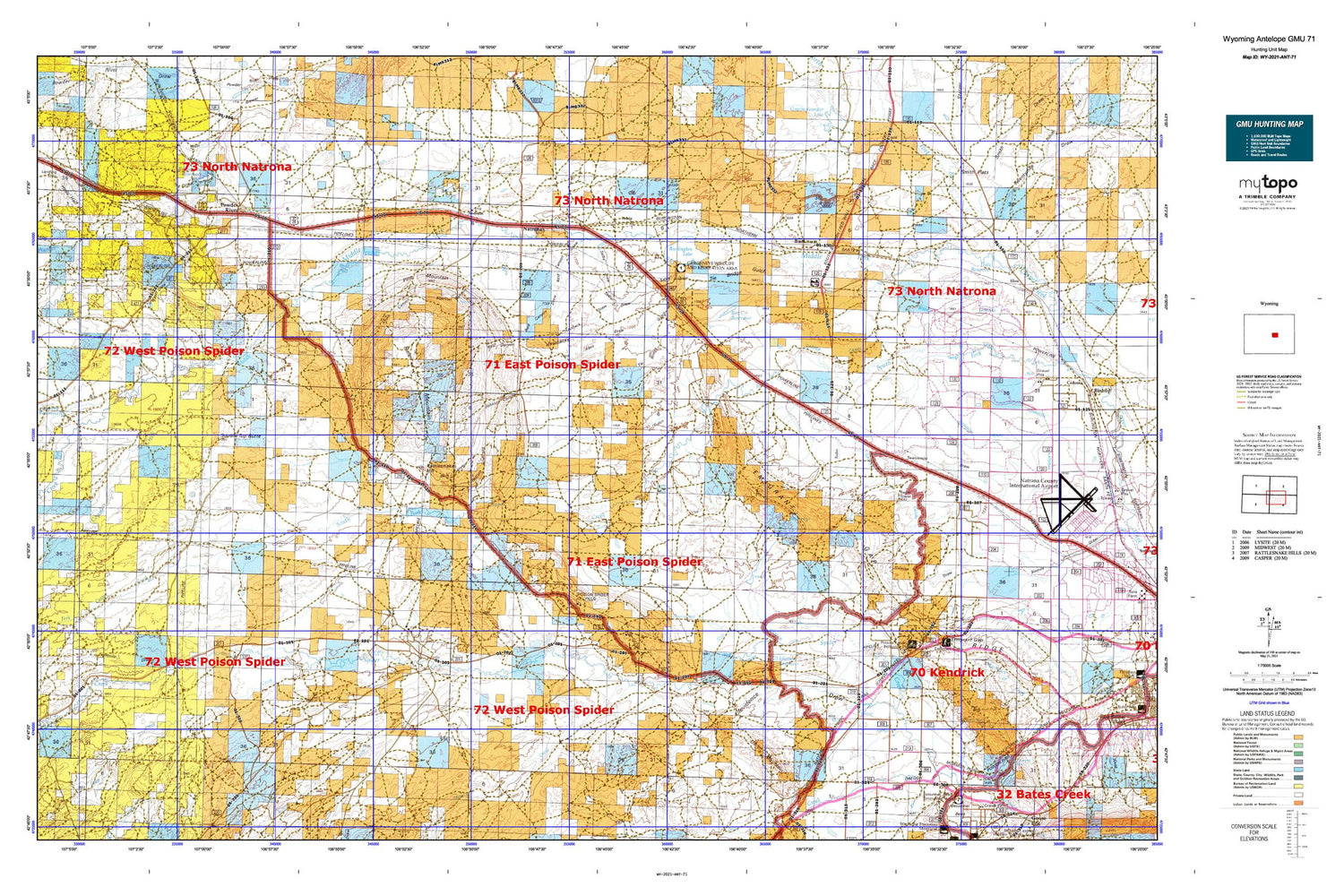
Hunting unit map of Wyoming Game Management Unit ANT-71 with topographic lines and unit boundaries. This topo map features UTM / MGRS and Latitude/Longitude grids, plus public land ownership. It comes folded on waterproof paper. Be fully prepared for your hunt with a MyTopo GMU map!.
This map contains the following named places: 82604,82646,A H Cobb Dam,A H Cobb Reservoir,Adams Dam,Adams Reservoir,Airstrike Mine,American Falconry Airport,Austin Creek,Baerthel Canyon,Bessemer,Bishop Lateral,Blue Bank Dam,Blue Bank Reservoir,Blue Canyon,Boone Dome Gas Field,Box C Reservoir,Bucknum,Bucknum Dam,Burke Dam,Burke Reservoir,Burlington Lake,Burlington Reservoir,Cabin Creek,Clark Place Well,Clarks Gulch,Clevidence Draw,Coyote Creek,Davidson Ranch,Dodds Ranch,Efell Mine,Eightmile Draw,Emigrant Gap,Emigrant Gap Ridge,Empire School,F-L Ranch,Gaylord Reservoir,Haystack Draw,Haystacks,Hells Half Acre,Hells Half Acre Division,Hohnen Draw,Hot Springs,Iron Creek,J and J Dam,J and J Reservoir,Jack Allen Draw,Johnson Canal,Johnson Canyon,Johnson Ditch,Johnson Lateral,Johnson Number 1 Dam,Johnson Reservoir,Johnson Reservoir Number 1,McFarland Ranch,Meadow Creek,Morton Ranch,Natrona,Natrona County,Number 1 Dam,Number 1 Reservoir,Oil Mountain,Old Goose Egg Ranchhouse,Oral Dam,Pasture Canyon,Petrie,Pine Mountain,Poison Spider Creek,Poison Spider Dam,Poison Spider Elementary School,Poison Spider Mine,Poison Spider Oil Field,Poison Spider Reservoir,Powder River,Powder River Census Designated Place,Powder River Elementary School,Powder River Mine,Powder River Post Office,Ranger Number One Mine,Rattlesnake Hill,Reid Canyon,Reid Canyon Draw,Rosebud Pit Number Four,Selby Draw,Shreiner Dam,Shreiner Reservoir,Smith Canyon,Smith Draw,Smith Flats,Soap Creek,Soap Creek Number Two Mine,Sodium,Spring Draw,Square Top Butte,Statzer Draw,Strohecker Ranch,Sulfur Springs,T E C Dam,Thirtythree Mile Ranch,Tie Bridge Gulch,Tudor Draw,Tunnel Number 5,Tunnel Number 6,Wallace Creek,West Poison Spider Camp,Williams Ranch,Wyatt Draw,Wyatt Ranch


