MyTopo
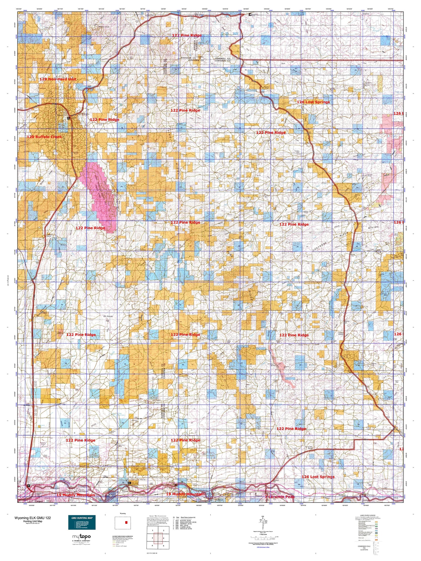
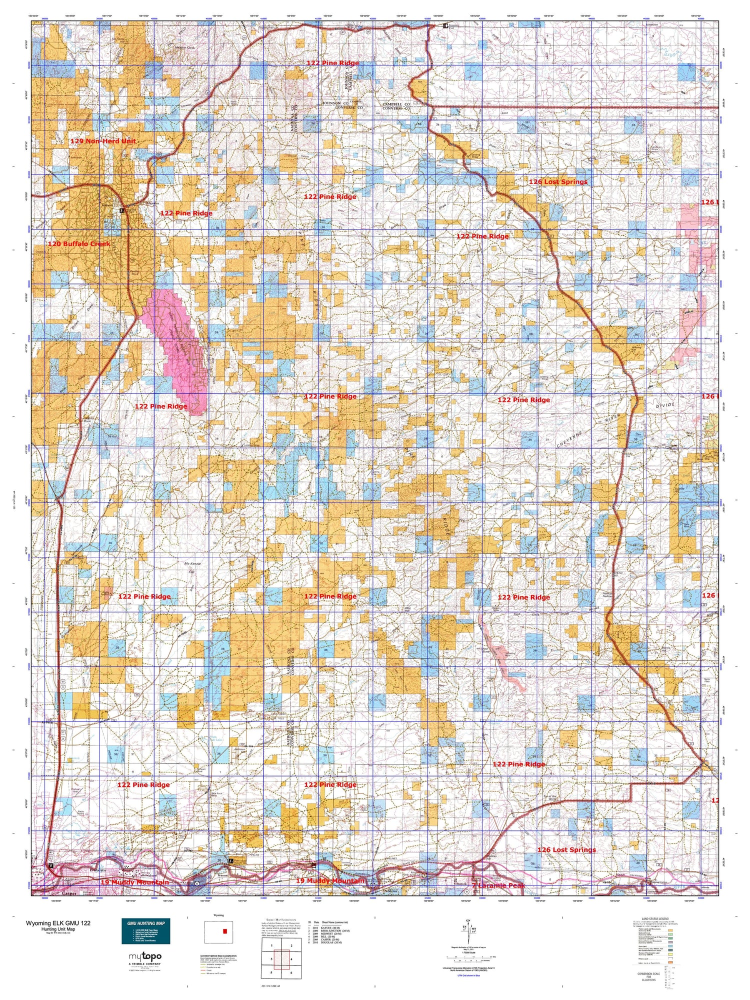
Wyoming Elk GMU 122 Map
Couldn't load pickup availability
Hunting unit map of Wyoming Game Management Unit ELK-122 with topographic lines and unit boundaries. This topo map features UTM / MGRS and Latitude/Longitude grids, plus public land ownership. It comes folded on waterproof paper. Be fully prepared for your hunt with a MyTopo GMU map!.
This map contains the following named places: 82635,82636,82643,Allemand Ranch,Amerada Camp,Avery Draw,Badger Creek Mine,Badger Mine,Baker Numbers Three-five Mine,Baker Stock Dam,Baker Stock Reservoir,Barton Ranch,Beauchamp Reservoir,Betty Mine,Big Bull Cedar Creek,Bill Smith Mine,Birkner Hill,Blizzard Heights,Blue Hill,Blue Rock Coal Mine,Bob Dam,Bob Reservoir,Bobcat Creek,Bothwell Draw,Bozarth Ranch,Bozeman Trail Monument,Brown Draw,Brown Springs Creek,Bull Gulch,Burke Ranch Oil Field,Burris Draw,C B Richardson Dam,Campbell Hill,Castle Creek,Castle Rock,Cheyenne River Divide,Clark Draw,Coal Draw,Coal Hill,Cole Creek Oil Field,Conley Dam,Conley Draw,Conley Reservoir,Consolidated Number 3 Dam,Coopers Draw,Cottonwood Creek,Coyote Smith Draw,Crouch Ranch,Dave Johnston Mine,Davis Branch,Dead Dog Draw,Deep Draw,Derrick Draw,Dills Draw,Double Bar Two Ranch,Dry Lake,Dull Dam,Dull Reservoir,East Dam,East Reservoir,East Salt Creek Oil Field,East Teapot Creek,East Teapot Dome Oil Field,Edgerton,Eighty-Eight Ranch,Eskew Number 2 Dam,Fensland Number 2 Dam,Fifty-five Ranch,Fink Prong,Finley Draw,Fly Draw,Ford Draw,Frank Draw,Fred Taylor Ranch,Friday Draw,Gafford Dam,Gafford Ranch,Gafford Reservoir,Gas Plant Camp,Gerry Nicolaysen Dam,Gillam Draw,Glenrock Division,Gumbo Hill,Hardy Number 1 Dam,Hardy Ranch,Henry Ranch,Herman Werner Number 1 Dam,Holdup Hollow,Holmes Draw,Hornbeck Draw,Houston Dam,Houston Reservoir,Humac Company Mine,Hyland Ranch,Hyland Sheep Ranch,Hylton Ranch,Irvine Cow Camp,Jake Three and One Mine,Jenson Number 1 Dam,Jimmies Creek,Joe Begant Draw,Johnson Hill,K Lazy S Ranch,Keenan Ranch,Key Mine,King Draw,Layton Ranch,Lenzen Ranch,Leuenberger Ranch,Little Bull Cedar Creek,Little Pine Ridge,Little Teapot Creek,Lone Tree Gulch,Lower Salt Creek Dam,Lower Salt Creek Reservoir,Lulu Dam,Lulu Reservoir,Mac Reas Reservoir,Manning Ranch,Marsh Draw,Martin Spring Draw,Mason Ranch,McKenzie Draw,McNaughton Draw,Meadow Creek,Meadow Creek Dam,Meadow Creek Reservoir,Mexican Springs,Microwave Pit,Middaugh Dam,Middaugh Reservoir,Middle Fork Dry Fork Cheyenne River,Midway Oil Field,Midwest,Midwest Number 12 Dam,Midwest Number 23 Dam,Moore Ranch,Morris Hill,Mud Lake,Naval Petroleum Reserve Number 3,Negley Ranch,Nick Ray Draw,Night Draw,Ninemile Creek,Ninemile Ranch,North Cottonwood Creek,North Fork Dry Fork Cheyenne River,North Fork Wind Creek,North Prong Dry Fork Powder River,North Sage Spring Creek Oil Field,North Sand Creek,North Sherwood Draw,North Stinking Water Creek,North Sulphur Draw,Old Bryan Ranch,Ordurm Draw,Parsons Ranch,Patterson Ranch,Phillips Creek,Pine Dale Dam,Pine Dale Reservoir,Pine Ridge,Pratt Mine,Pratts Soda Lakes,Red Butte,Reverse K Two Ranch,Robertson Ranch,Rolling Hills,Ross,S C Pryor Number 1 Dam,Saddle Rock,Sage Creek Divide,Sage Spring Creek Oil Field,Sage Spring Creek Oil Field Area D,Salt Creek Oil Field,Sand Creek Dam,Sand Creek Number One Mine,Sand Creek Number Two Mine,Sand Creek Reservoir,Sand Spring Creek,School Section Dam,School Section Reservoir,Seven L Creek,Seven L Ranch,Shannon Pool Oil Field,Sherwood Creek,Sherwood Oil Field,Silver Spoon Reservoir,Six Horse Hill,Smith Stock Water Dam,Smith Stock Water Reservoir,South Cole Creek Unit,South Fork Dry Fork Cheyenne River,South Fork Ninemile Creek,South Fork Reservoir,South Fork Sage Creek,South Fork Wind Creek,South Prong Dry Fork Powder River,South Sage Spring Creek Oil Field,Spearhead Ranch,Stevens North Mine,Stevens South Mine,Suicide Hill,Suicide Soda Lake,Sundquist Ranch,Sussex Repressuring Plant,Swigart Coal Mine,Teapot Creek,Teapot Dam,Teapot Ranch,Teapot Reservoir,Teapot Rock,Top of the World,Town of Edgerton,Town of Midwest,Town of Rolling Hills,Trigood Camp,Turner Divide,Turnercrest Mine,Twentymile Hill,Twentymile Hill Oil Field,Van Gordan Ranch,V-One Dam,V-One Reservoir,V-Two Dam,V-Two Reservoir,Wagon Hound Dam,Wagon Hound Reservoir,West Dam,West Fork Sand Creek,West Reservoir,Western States Number 1 Dam,WG Taylor Ranch,Wind Creek,Wyoming Associated Number 17 Dam


