MyTopo
Wyoming Mule Deer GMU 35 Map
Couldn't load pickup availability
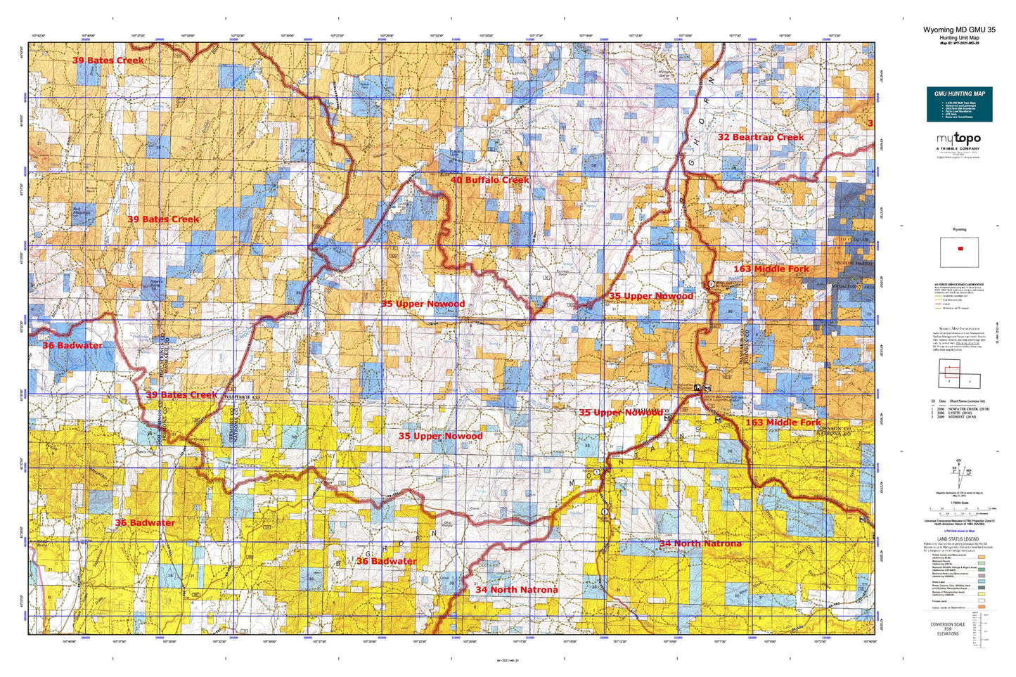
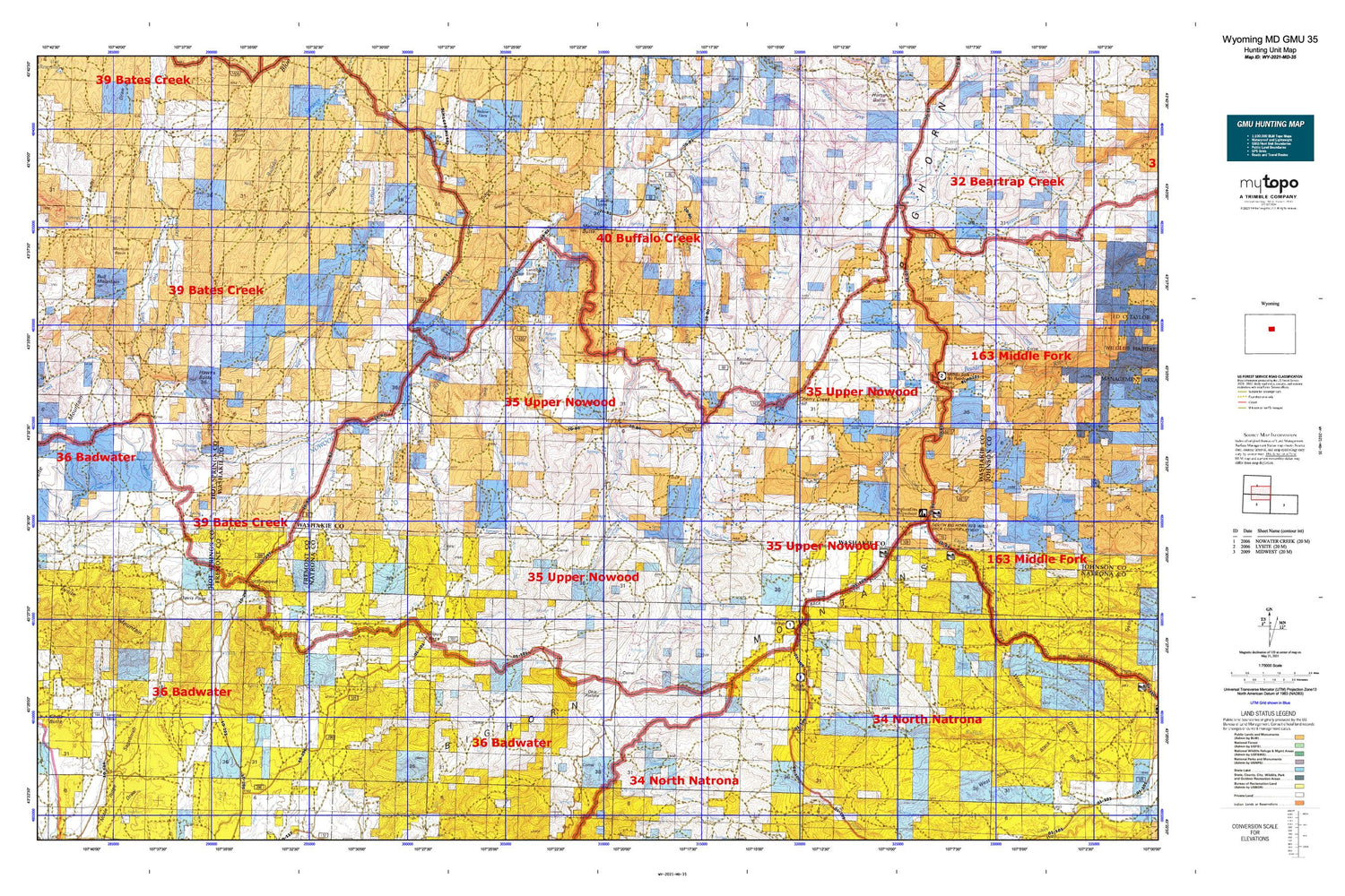
Hunting unit map of Wyoming Game Management Unit MD-35 with topographic lines and unit boundaries. This topo map features UTM / MGRS and Latitude/Longitude grids, plus public land ownership. It comes folded on waterproof paper. Be fully prepared for your hunt with a MyTopo GMU map!.
This map contains the following named places: Arnold Dam,Arnold Reservoir,Bader Homestead,Bar C Creek,Baskett Cabin,Bates Battlefield,Bates Creek,Battle Mountain,Bear Creek,Bear Spring,Berger Spring,Bishop Cabin,Box Elder Creek,Brasket Spring,Britain Ranch,Brome Draw,Buck Creek,Bull Mountain,Carlson Cabin,Cherry Creek,Cherry Creek Hill,Clapp Spring,Cochran Ranch,Cornell Gulch,Cottonwood Pass,County Pit,Crawford Creek,Cypress Well,Davis Pass,Dead Indian Spring,Deep Creek,Devils Slide,East Fork Buffalo Creek,East Fork Lysite Creek,Edwards Ranch,Ellsworth Claim,Garden Creek,Grave Spring,Hawks Butte,Hiawatha Well,Homestead Gulch,Johnson Place,Kennedy Basin,Kidd Flat,KRLU-FM (Lost Cabin),Larson Cabin,Lighting Ridge,Little Deep Creek,Little Lost Creek,Lone Tree Creek,Lone Tree Ranch,Lost Creek,Lysite Mountain,Mahogany Butte,McWilliams Homestead,Mexican Lakes,Middle Fork Buffalo Creek,Minnick Basin,Mulligan Hole,Nichols Ranch,North Fork Buffalo Creek,Nowood Ranch,Nowood River Number Four Mine,Nowood River Number One Mine,Nowood River Number Three Mine,Okie Pasture,Orchard Bates Creek Ranch,Orchard Dam,Orchard Ranch Airport,Orchard Reservoir,Orchards Cow Camp,Pine Creek,Puzzle Spring,Ramage Ranch,Rate Homestead,Rate Sheep Camp,Reck Ranch,Redbank Creek,Rock Creek,S V Draw,Sagebrush Draw,Sawmill Creek,Seaman Ranch,Shanty Ridge,Shelly Seeps,Sioux Pass,Snyder Place,South Fork Buffalo Creek,Split Rock Creek,Spring Creek,Stove Creek,Stove Creek Canyon,Stove Spring,Telephone Draw,Trout Creek,Turk Springs,West Fork Buffalo Creek,Willow Spring


