MyTopo
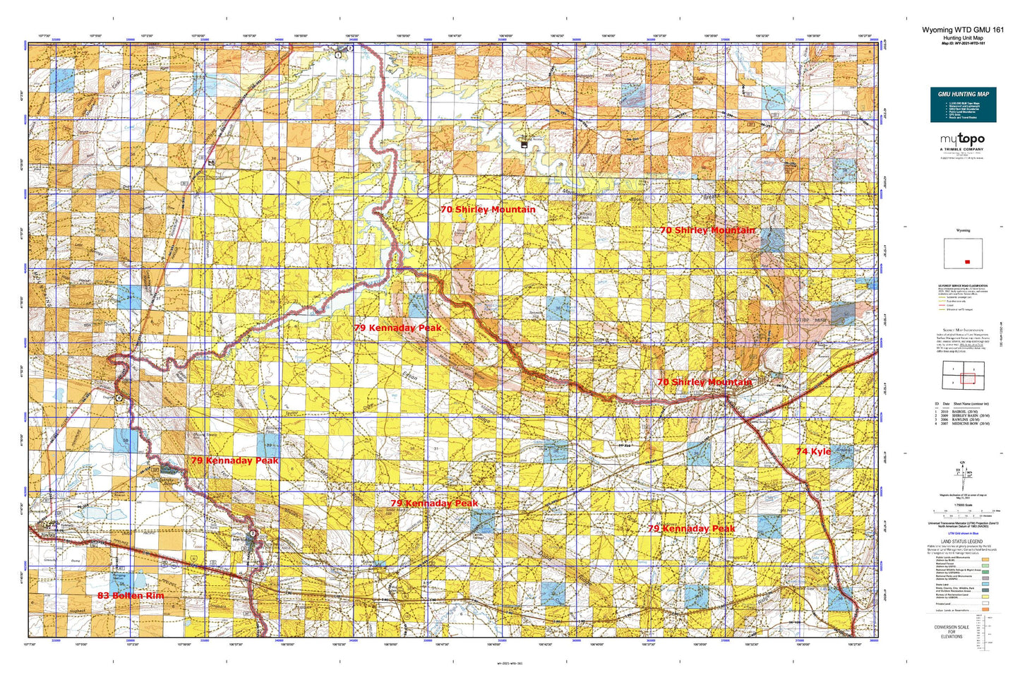
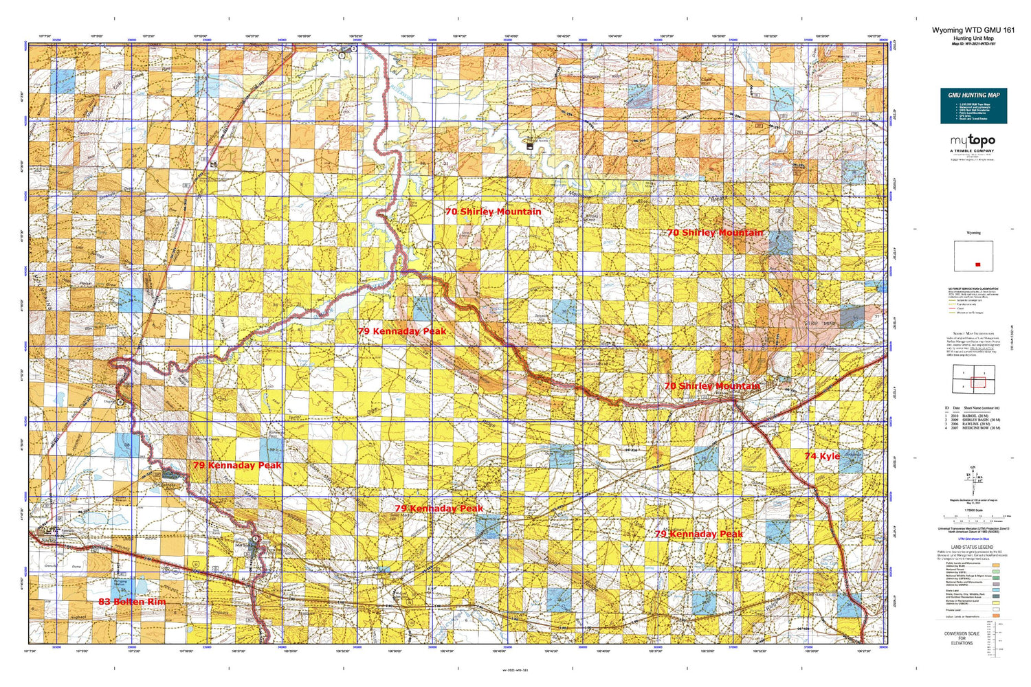
Wyoming Whitetail Deer GMU 161 Map
Couldn't load pickup availability
Hunting unit map of Wyoming Game Management Unit WTD-161 with topographic lines and unit boundaries. This topo map features UTM / MGRS and Latitude/Longitude grids, plus public land ownership. It comes folded on waterproof paper. Be fully prepared for your hunt with a MyTopo GMU map!.
This map contains the following named places: 82334,82335,Alkali Flat,Big Ditch,Big Ditch Pit,Blind Canyon,Boneside Pass,Brooks Knob,Buck Spring,Carbon County Fire Department / Hannah Division,Cedar Ridge,Charlie Brooks Draw,Corral Canyon,Cottonwood Draw,Coyote Canyon,Coyote Spring,Coyote Springs,Crane Mine,Dana,Dana Meadows,Dana Mine,Dana One Mine,Dana Springs Creek,Dana Two Mine,Dirtyman Draw,Dry Creek,Dry Ditch,Dry Draw,Duncan Ranch,Eagle Rock,Edson,Edson Ridge,Ferris Lake,Fort Fred Steele,Fort Steele,Fort Steele Breaks,Fort Steele Historic Site Cemetery,G H Dam,G H Reservoir,Grenville Dome,Hanna,Hanna and Dravo Mine,Hanna Cemetery,Hanna Junction,Hanna Number Five Mine,Hanna Number Four Mine,Hanna Number Four-A Mine,Hanna Number One Mine,Hanna Number One Strip Mine,Hanna Number Six Mine,Hanna Number Three-and-a-half Mine,Hanna Number Two Mine,Hanna Police Department,Hanna Post Office,Hanna Reservoir,Hanna School,Hanna South Mine,Hanna-Elk Mountain High School,Hanna-Elk Mountain Junior High School,Iron Spring,Kinney Creek,Kinney Dam,Kinney Reservoir,Kortes Dam School,Laramie Energy Research Center Mine,Little Shoe Creek,Lone Haystack Mountain,Lost Springs Draw,Lower Dugway,Lucky Annie Claims Mine,Martinez Reservoir,Martinez Springs,Martinez Springs Creek,Medicine Bow Breaks,Medicine Bow Coal Company Mine,Medicine Bow River,Medicine Bow Strip Mine,Middle Ditch,Miller Pit,Miller Prospect,Miller Prospect Mine,Mine Disaster Memorial,Monument Ridge,Mount Steele,Mud Springs Reservoir,North Ditch,Parco Ditch,Pats Bottom,Percy Creek,Point of Rocks Reservoir,Pool Table,Rattlesnake Butte,Red Mountain Mine,Rimrock Mine,Rimrock Number One Mine,Rimrock Number Two Mine,Rimrock Pit Number Three,Rosebud Pit Number One Mine,Rosebud Pit Number Three,Saint Marys Creek,Saint Marys Ditch,Saint Marys Hill,Saint Marys Ridge,Sand Hills,Sand Ridge,Section Eighteen Pit Mine,Seminoe Mine,Seminoe Strip Mine,Sinclair,Sinclair Police Department,Sinclair Post Office,Sinclair Recreation Park,Sinclair Refinery Volunteer Fire Department,Sinclair School,Sinclair Volunteer Fire Department,Sinclair Volunteer Fire Department Station 2,Standpipe Draw,Standpipe Spring,Steel Granary Reservoir,Stephenson Dam,Stephenson Reservoir,Stevies Lake,Stink Creek,Sugar Creek,Sulphur Spring,Taylor Draw,Tenmile Hill,Tenmile Spring,Town of Hanna,Town of Sinclair,Troublesome Creek,Twin Lakes,Vanguard Mine Number 1,Vanguard Number One Mine,Vanguard Number Three Deep Mine,Vanguard Number Two Deep Mine,Vanguard Number Two Energy Development Mine,Vanguard Number Two Mine,Walcott,Walcott Junction,Walgreen Ranch,Weed Creek,Wet Draw,Whitehorse Canyon,Wild Horse Draw,Wild Horse Mountain,Willow Spring Draw,Wilson Gap,Wilson Ridge,Wise Dugout Draw


