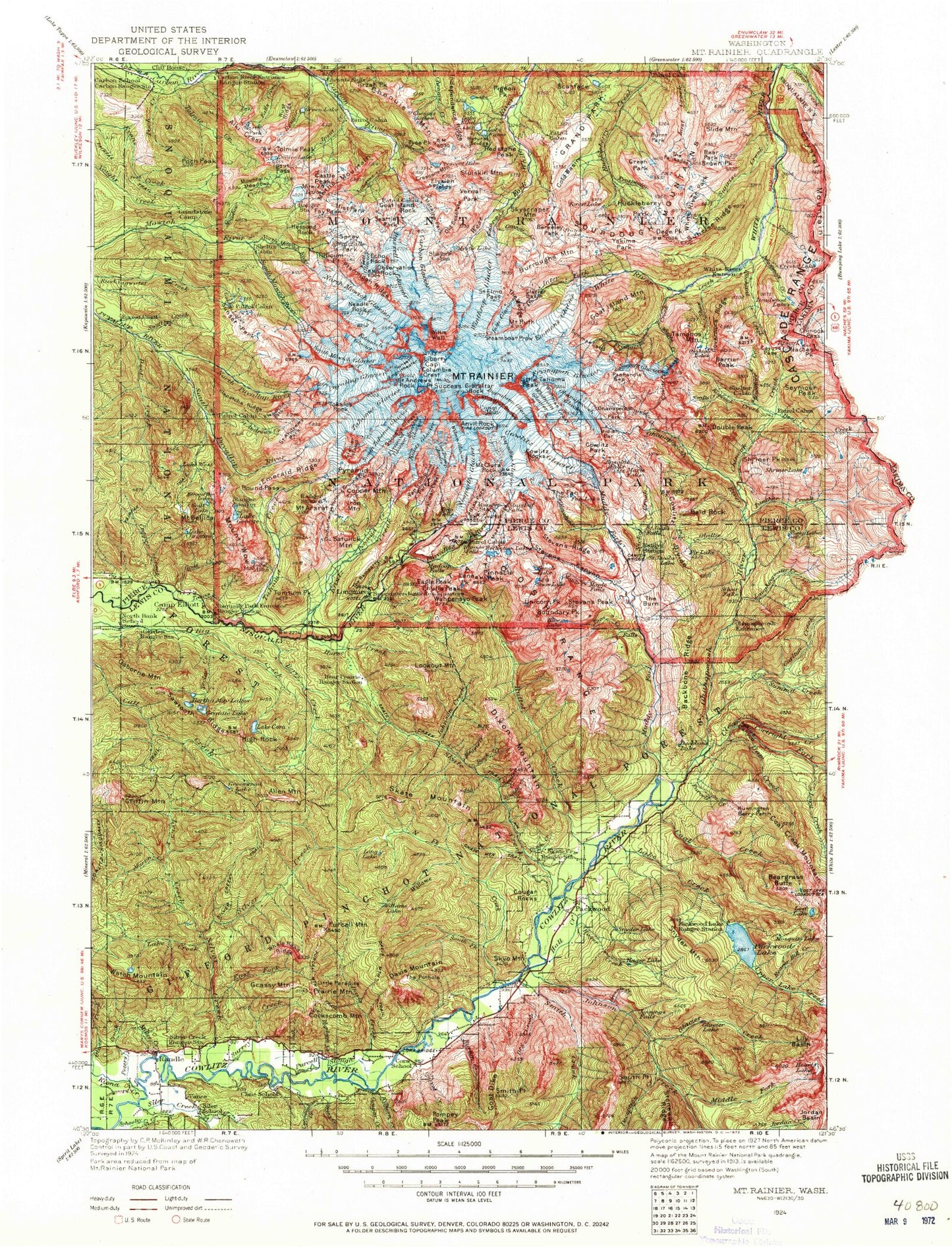
MyTopo's Map of the Week is this 1924 historic topographic map of Mount Rainier, Washington. Produced by the U.S. Geological Survey, it shows stunning vintage detail from the early days of Mount Rainier National Park. This map is not just a navigation tool, but a piece of history.
The National Park was established in 1899. It features the awe-inspiring Mount Rainier, an active stratovolcano that stands 14,410 feet tall and is the highest point in Washington. The park covers over 236,000 acres of diverse landscapes. It is a favorite spot for hikers, explorers, and nature lovers.


