MyTopo
Gulf Shores OE S Alabama US Topo Map
Regular price
$16.95
Regular price
Sale price
$16.95
Unit price
per
Couldn't load pickup availability
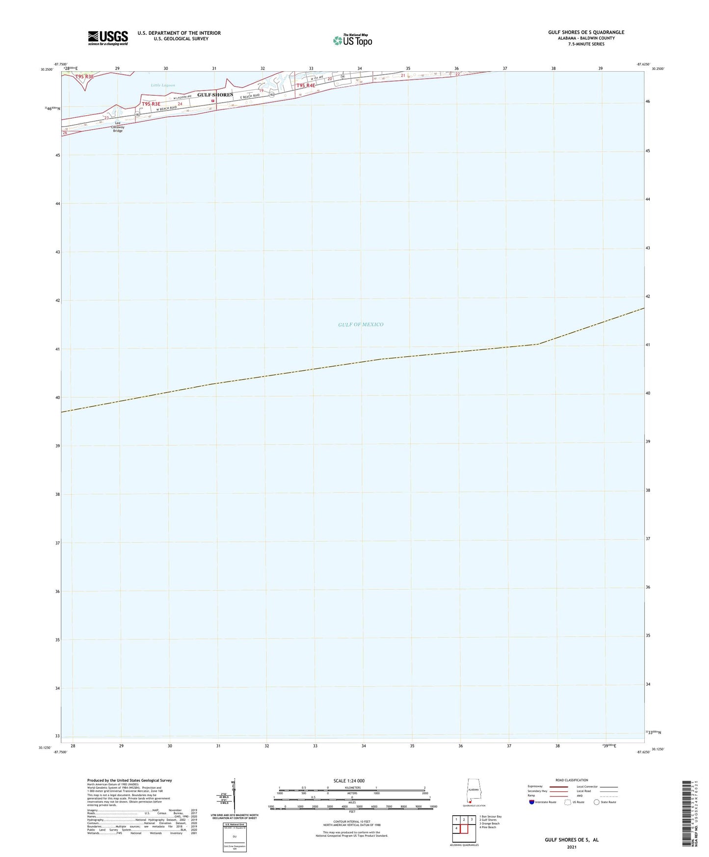
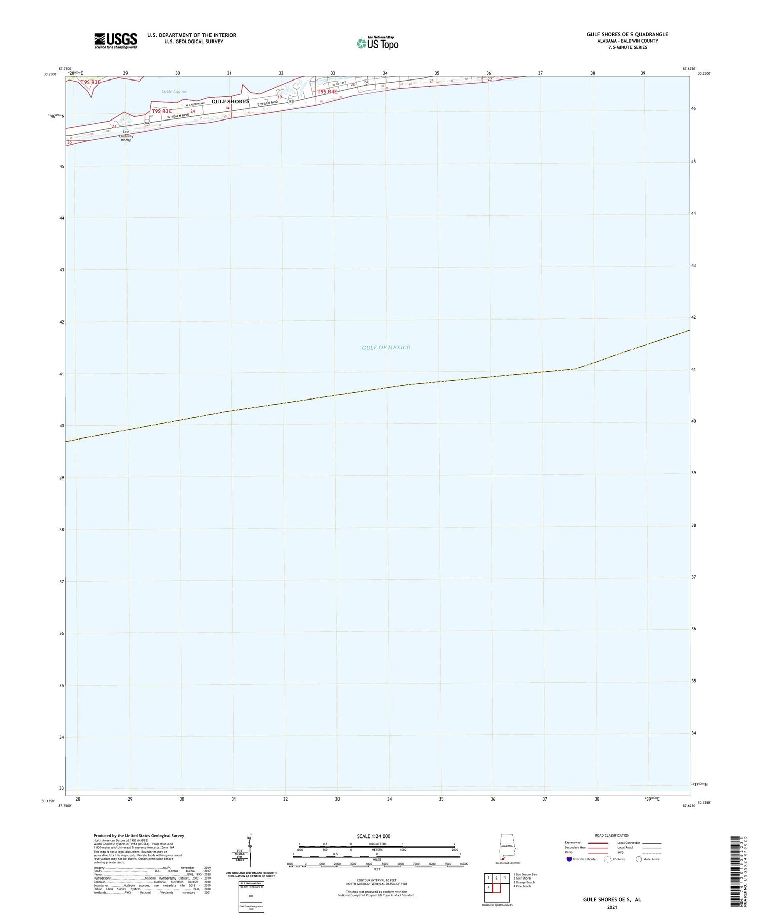
2025 topographic map quadrangle Gulf Shores OE S in the state of Alabama. Scale: 1:24000. Based on the newly updated USGS 7.5' US Topo map series, this map is in the following counties: Baldwin. The map contains contour data, water features, and other items you are used to seeing on USGS maps, but also has updated roads and other features. This is the next generation of topographic maps. Printed on high-quality waterproof paper with UV fade-resistant inks.
Quads adjacent to this one:
West: Pine Beach
Northwest: Bon Secour Bay
North: Gulf Shores
Northeast: Orange Beach
Contains the following named places: Gulf Shores, Gulf Shores Fire Rescue Station 2, Lee Callaway Bridge, Stanton Creek