MyTopo
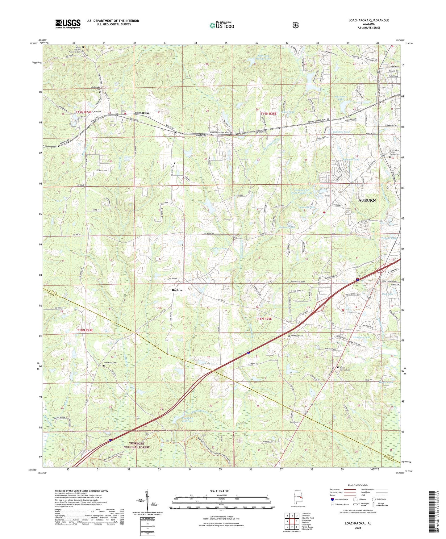
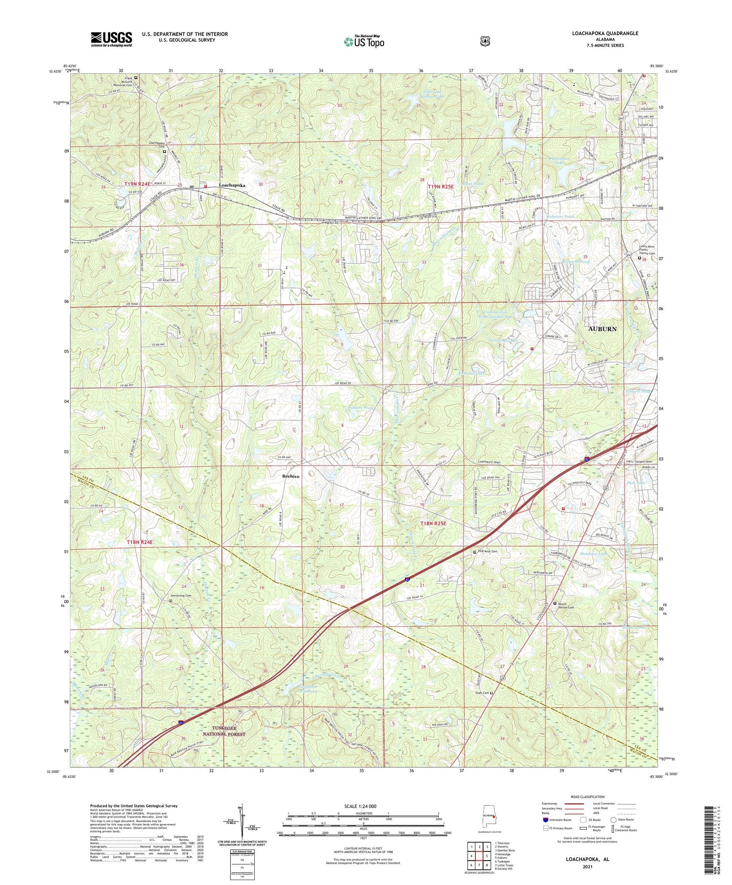
Loachapoka Alabama US Topo Map
Couldn't load pickup availability
Also explore the Loachapoka Forest Service Topo of this same quad for updated USFS data
2024 topographic map quadrangle Loachapoka in the state of Alabama. Scale: 1:24000. Based on the newly updated USGS 7.5' US Topo map series, this map is in the following counties: Lee, Macon. The map contains contour data, water features, and other items you are used to seeing on USGS maps, but also has updated roads and other features. This is the next generation of topographic maps. Printed on high-quality waterproof paper with UV fade-resistant inks.
Quads adjacent to this one:
West: Notasulga
Northwest: Thornton
North: Waverly
Northeast: Opelika West
East: Auburn
Southeast: Society Hill
South: Little Texas
Southwest: Tuskegee
This map covers the same area as the classic USGS quad with code o32085e5.
Contains the following named places: Allens Pond, Apostolic Church, Armstrong, Armstrong Cemetery, Armstrong Methodist Church, Armstrong School, Asberry Church, Auburn Fire Department Station 5, Auburn Fire Division Station 2, Auburn Industrial Park, Beehive, Beehive School, Brown Hill School, Cluster Church, Colliers Pond, Conner Estates, Conway Fish Pond Number One, Conways Lake, Crossroads School, Duggar Farms, E T Conway Number 1 Dam, Elam Baptist Church, Elam Cemetery, Folmar Dam, Frank McGuire Memorial Cemetery, Gentilly Branch First Baptist Church, High Hope Baptist Church, Kuderna Acres, Kuderna Lake, Lewis Allen Foster Family Cemetery, Little and Stuckys Lake, Loachapoka, Loachapoka Cemetery, Loachapoka Historic District, Loachapoka Junior High School, Loachapoka Post Office, Loachapoka School, Mahone Creek, Meadows Lake, Mount Vernon Baptist Church, Mount Vernon Cemetery, Mount Zion Church, Pam Lake, Pin Oaks Country Club, Pine Knot Cemetery, Plainsman Club Dam, Plainsman Lake, Pleasant View Church, Richards Pond, Ridgewood Village, Rocky Mount Methodist Church, Saint Matthew Church, Sand Hill, Southwest Lee County Fire Protection Authority Station 1, Southwest Lee County Fire Protection Authority Station 2, Stonegate, Town of Loachapoka, Uchee Shooting Range, Universal Mission Church, Vaughans Mill Pond, Vaughans Mill Pond Dam, Vaughn Mill, Victory Church, Wards Pond, Websters Pond, Willow Creek Farms, Yeagers Pond, ZIP Codes: 36832, 36865


