
MyTopo
Sulligent SW Alabama US Topo Map
Couldn't load pickup availability
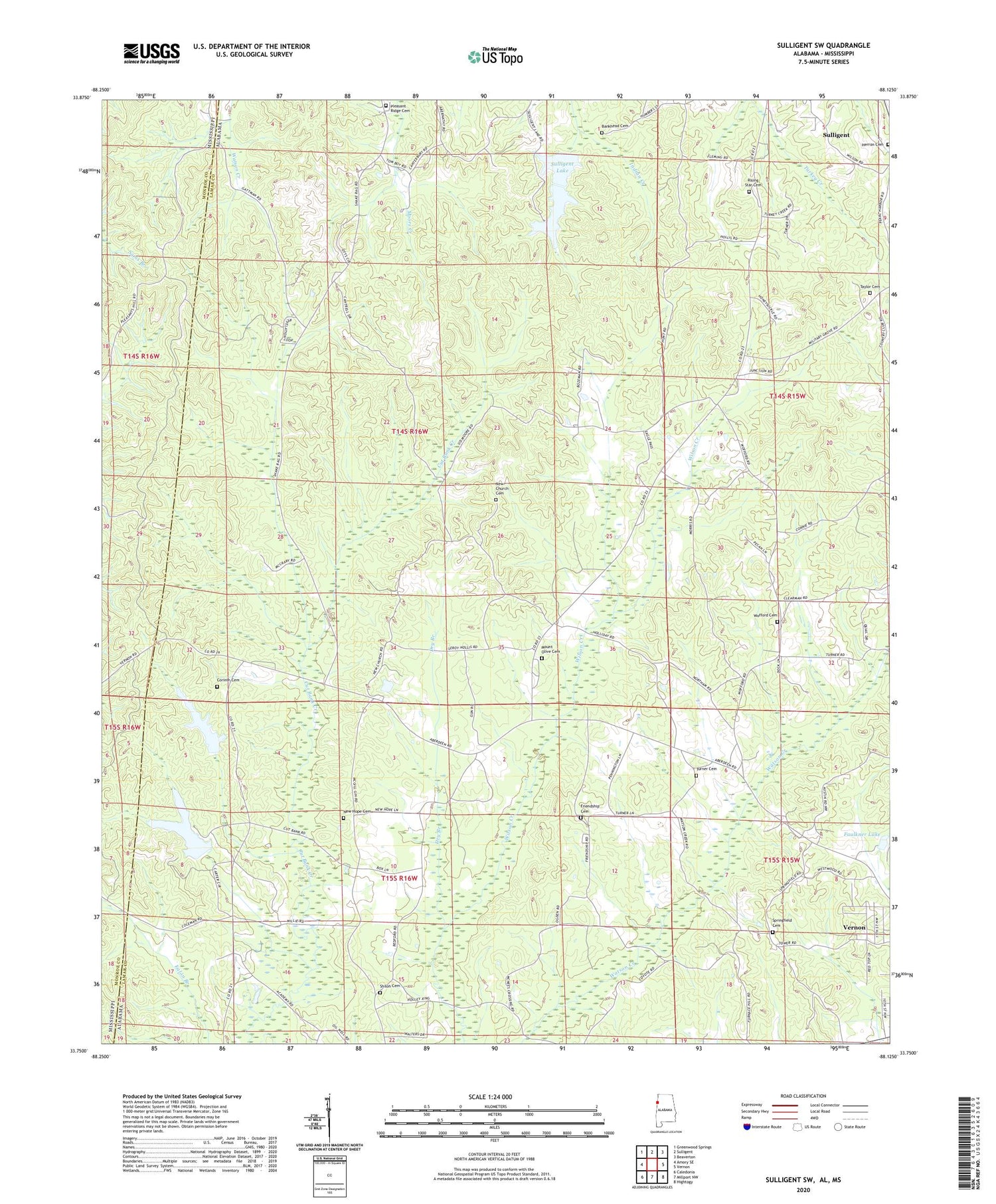
2024 topographic map quadrangle Sulligent SW in the state of Alabama. Scale: 1:24000. Based on the newly updated USGS 7.5' US Topo map series, this map is in the following counties: Lamar, Monroe. The map contains contour data, water features, and other items you are used to seeing on USGS maps, but also has updated roads and other features. This is the next generation of topographic maps. Printed on high-quality waterproof paper with UV fade-resistant inks.
Quads adjacent to this one:
West: Amory SE
Northwest: Greenwood Springs
North: Sulligent
Northeast: Beaverton
East: Vernon
Southeast: Hightogy
South: Millport NW
Southwest: Caledonia
Contains the following named places: Academy Church, B B Box Dam, B B Box Lake, Bankhead Cemetery, Bedford, Bedford School, Church of God, Corinth Cemetery, Corinth Church, County Lake, Dry Branch, Faulkner Lake, Faulkner Lake Dam, Freewill Chapel, Friendship Cemetery, Friendship Church, Herron Cemetery, Hillsdale Dairy, Hilltop Church, Lamar County Public Lake Dam, Lebanon Church, Military Grove Church, Military Grove Gas Field, Mount Olive Cemetery, Mount Olive Church, New Church, New Church Cemetery, New Hope Cemetery, New Hope United Methodist Church, Pleasant Ridge Cemetery, Pleasant Ridge Church, Rising Star Cemetery, Rising Star Church, Shiloh, Shiloh Baptist Church, Shiloh Cemetery, Springfield Cemetery, Springfield Church, Sulligent Dam, Sulligent Lake, Taylor Cemetery, Turner Cemetery, William Phillips Dam at Bedford, William Phillips Lake, Wofford Cemetery, Wofford Church


