MyTopo
Antares Arizona US Topo Map
Couldn't load pickup availability
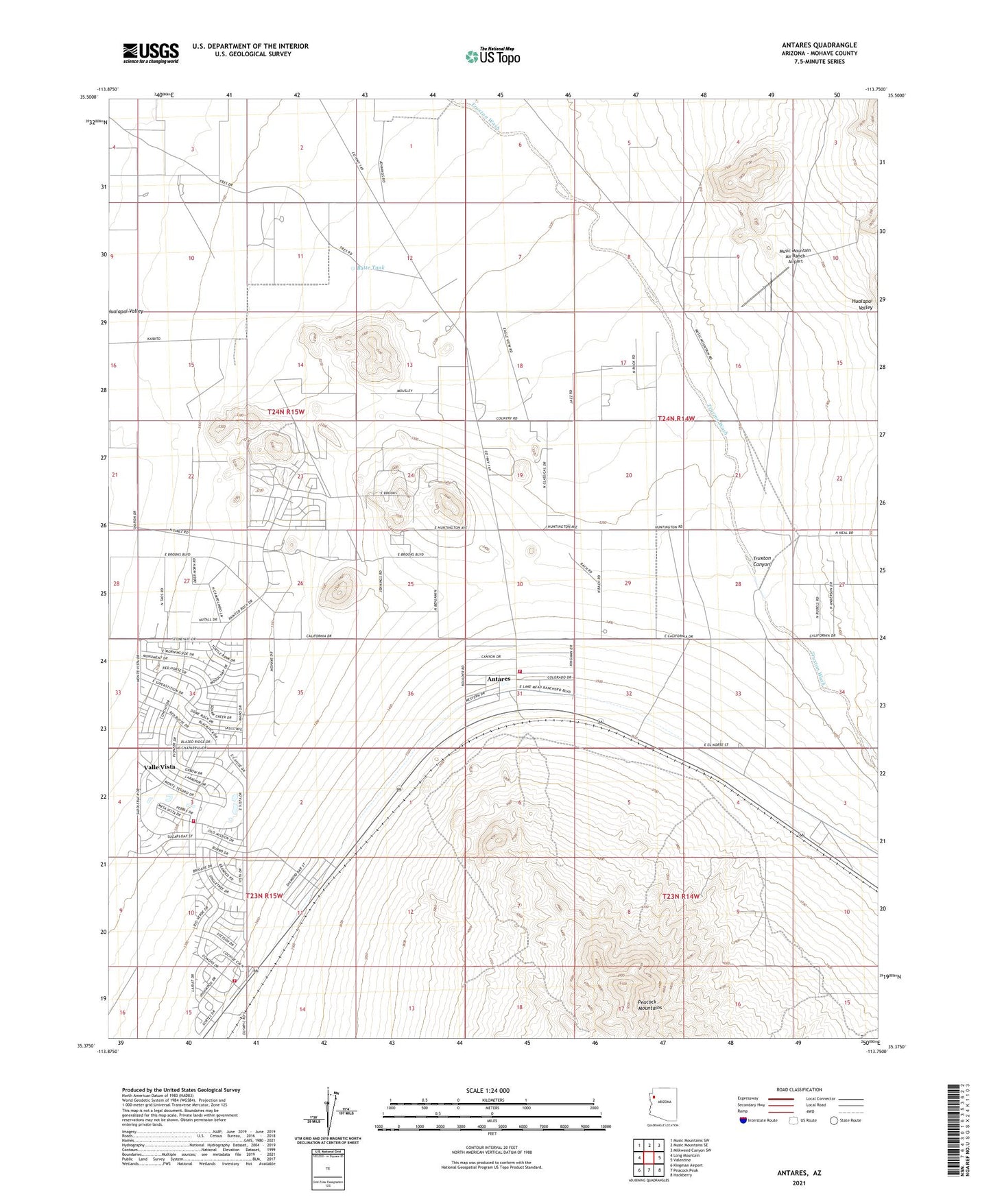
2023 topographic map quadrangle Antares in the state of Arizona. Scale: 1:24000. Based on the newly updated USGS 7.5' US Topo map series, this map is in the following counties: Mohave. The map contains contour data, water features, and other items you are used to seeing on USGS maps, but also has updated roads and other features. This is the next generation of topographic maps. Printed on high-quality waterproof paper with UV fade-resistant inks.
Quads adjacent to this one:
West: Long Mountain
Northwest: Music Mountains SW
North: Music Mountains SE
Northeast: Milkweed Canyon SW
East: Valentine
Southeast: Hackberry
South: Peacock Peak
Southwest: Kingman Airport
This map covers the same area as the classic USGS quad with code o35113d7.
Contains the following named places: Antares, Antares Census Designated Place, Butte Tank, Mohave County Library District Valle Vista Community Library, Music Mountain Air Ranch Airport, Northern Arizona Consolidated Fire District Station 35 Valle Vista Fire Department, Northern Arizona Consolidated Fire District Station 36, Valle Vista Census Designated Place, Valle Vista Community Church, Valle Vista Golf Club