MyTopo
Beeshsikad Spring Arizona US Topo Map
Couldn't load pickup availability
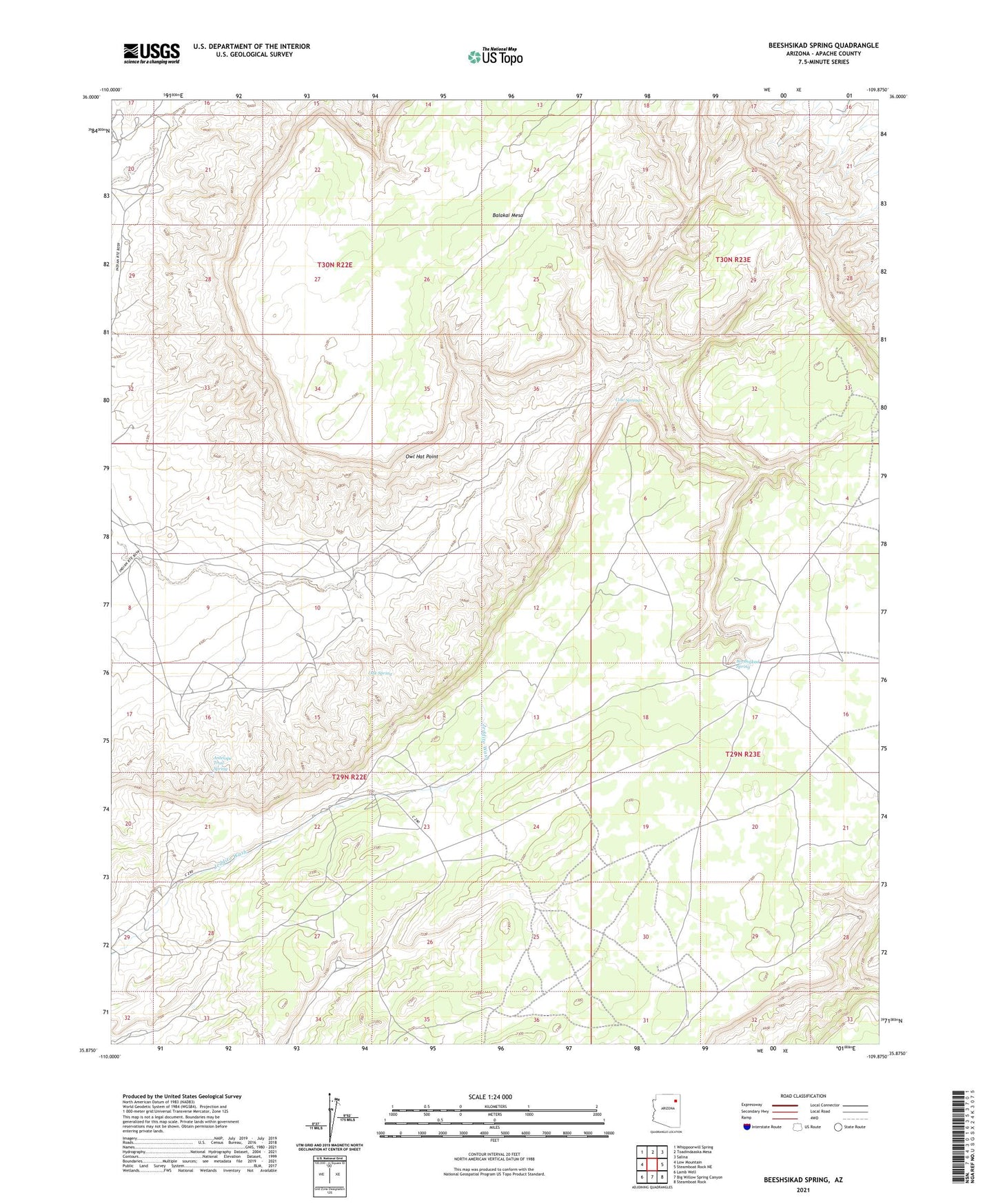
2021 topographic map quadrangle Beeshsikad Spring in the state of Arizona. Scale: 1:24000. Based on the newly updated USGS 7.5' US Topo map series, this map is in the following counties: Apache. The map contains contour data, water features, and other items you are used to seeing on USGS maps, but also has updated roads and other features. This is the next generation of topographic maps. Printed on high-quality waterproof paper with UV fade-resistant inks.
Quads adjacent to this one:
West: Low Mountain
Northwest: Whippoorwill Spring
North: Toadindaaska Mesa
Northeast: Salina
East: Steamboat Rock NE
Southeast: Steamboat Rock
South: Big Willow Spring Canyon
Southwest: Lamb Well
This map covers the same area as the classic USGS quad with code o35109h8.
Contains the following named places: Antelope Trail Spring, Balakai Mesa, Beeshsikad Spring, Cow Springs, Low Mountain Chapter, Oak Spring, Owl Hat Point