MyTopo
Steamboat Rock Arizona US Topo Map
Couldn't load pickup availability
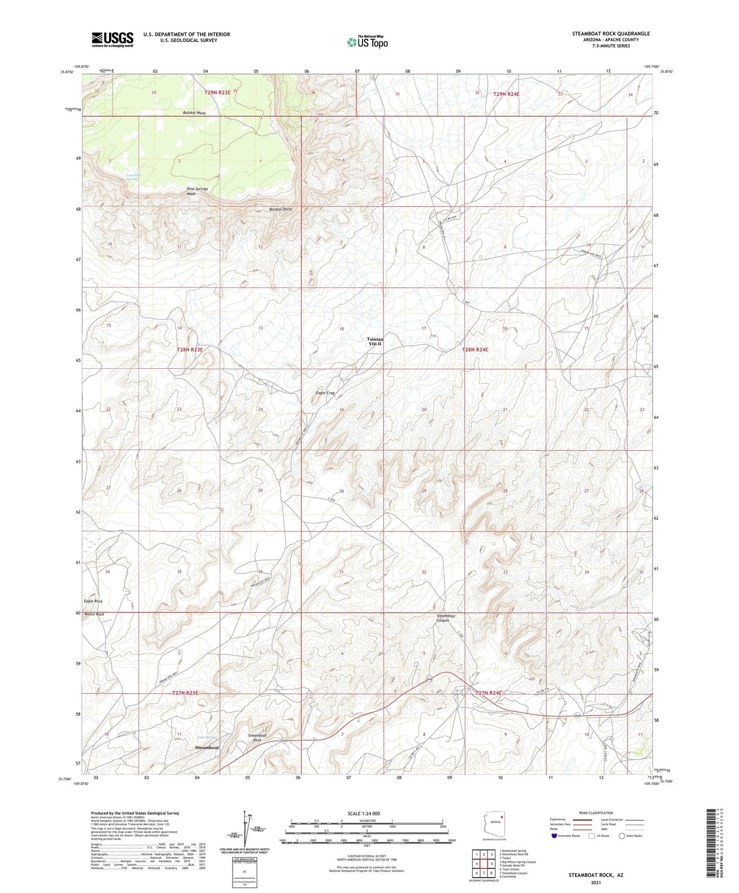
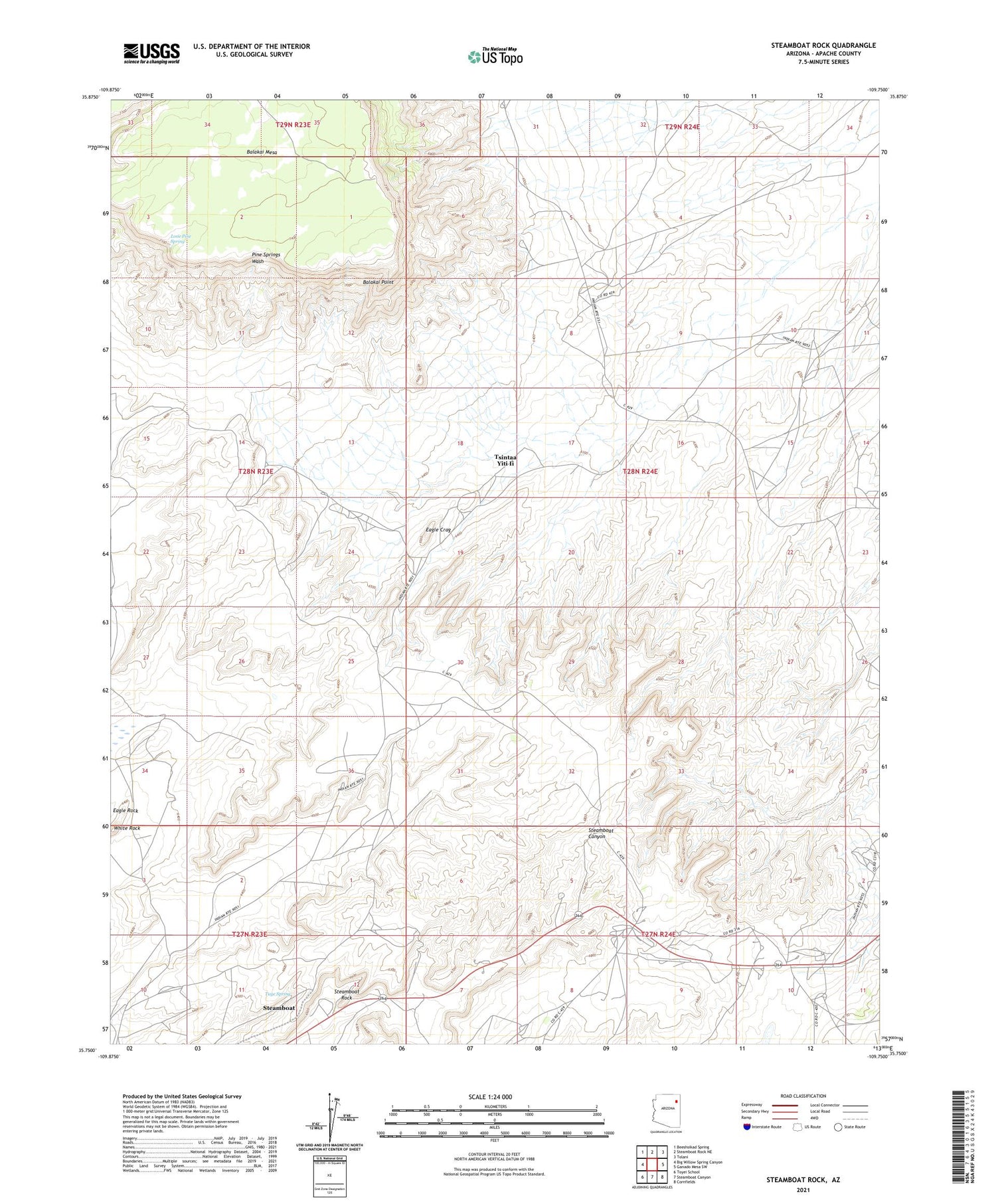
2021 topographic map quadrangle Steamboat Rock in the state of Arizona. Scale: 1:24000. Based on the newly updated USGS 7.5' US Topo map series, this map is in the following counties: Apache. The map contains contour data, water features, and other items you are used to seeing on USGS maps, but also has updated roads and other features. This is the next generation of topographic maps. Printed on high-quality waterproof paper with UV fade-resistant inks.
Quads adjacent to this one:
West: Big Willow Spring Canyon
Northwest: Beeshsikad Spring
North: Steamboat Rock NE
Northeast: Tolani
East: Ganado Mesa SW
Southeast: Cornfields
South: Steamboat Canyon
Southwest: Toyei School
This map covers the same area as the classic USGS quad with code o35109g7.
Contains the following named places: Balakai Point, Eagle Crag, Eagle Rock, Lone Pine Spring, Pine Wells, Steamboat, Steamboat Census Designated Place, Steamboat Chapter, Steamboat Rock, Tsintaa Yiti Ii, Tuye Spring, White Rock