MyTopo
Branaman Spring Arizona US Topo Map
Couldn't load pickup availability
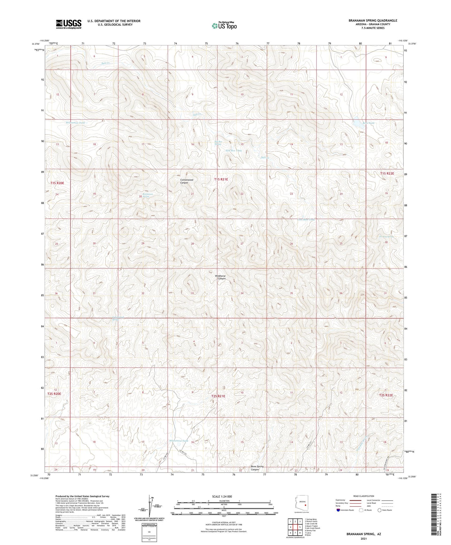
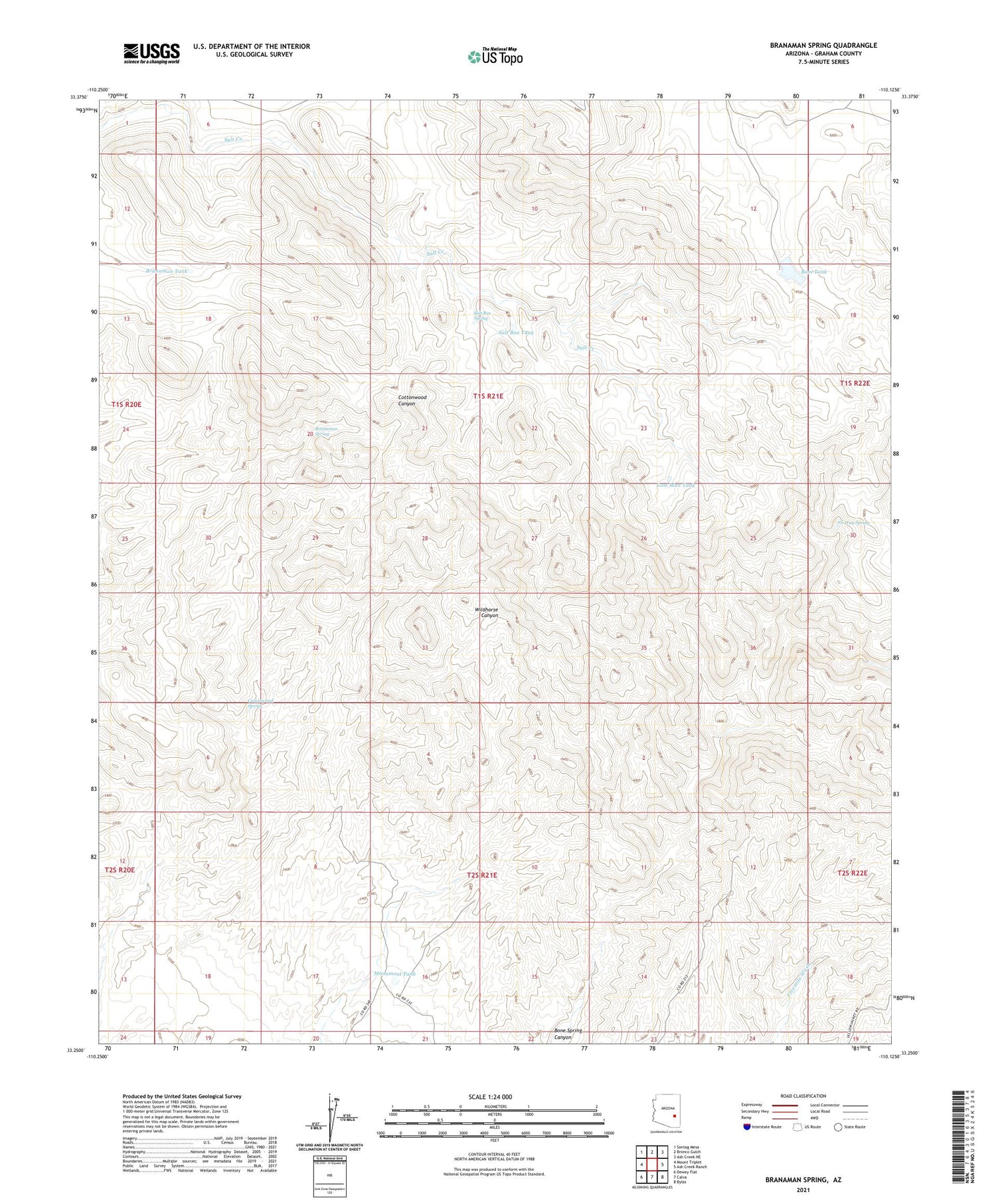
2021 topographic map quadrangle Branaman Spring in the state of Arizona. Scale: 1:24000. Based on the newly updated USGS 7.5' US Topo map series, this map is in the following counties: Graham. The map contains contour data, water features, and other items you are used to seeing on USGS maps, but also has updated roads and other features. This is the next generation of topographic maps. Printed on high-quality waterproof paper with UV fade-resistant inks.
Quads adjacent to this one:
West: Mount Triplet
Northwest: Sontag Mesa
North: Bronco Gulch
Northeast: Ash Creek NE
East: Ash Creek Ranch
Southeast: Bylas
South: Calva
Southwest: Dewey Flat
This map covers the same area as the classic USGS quad with code o33110c2.
Contains the following named places: Big Boni Dam, Boni Tank, Branaman Spring, Branaman Tank, Cottonwood Spring, Lost Man Tank, Monument Tank, Mule Well, No Way Spring, Salt Box Spring, Salt Box Tank, San Carlos Reservation