MyTopo
Buck Mountains Arizona US Topo Map
Couldn't load pickup availability
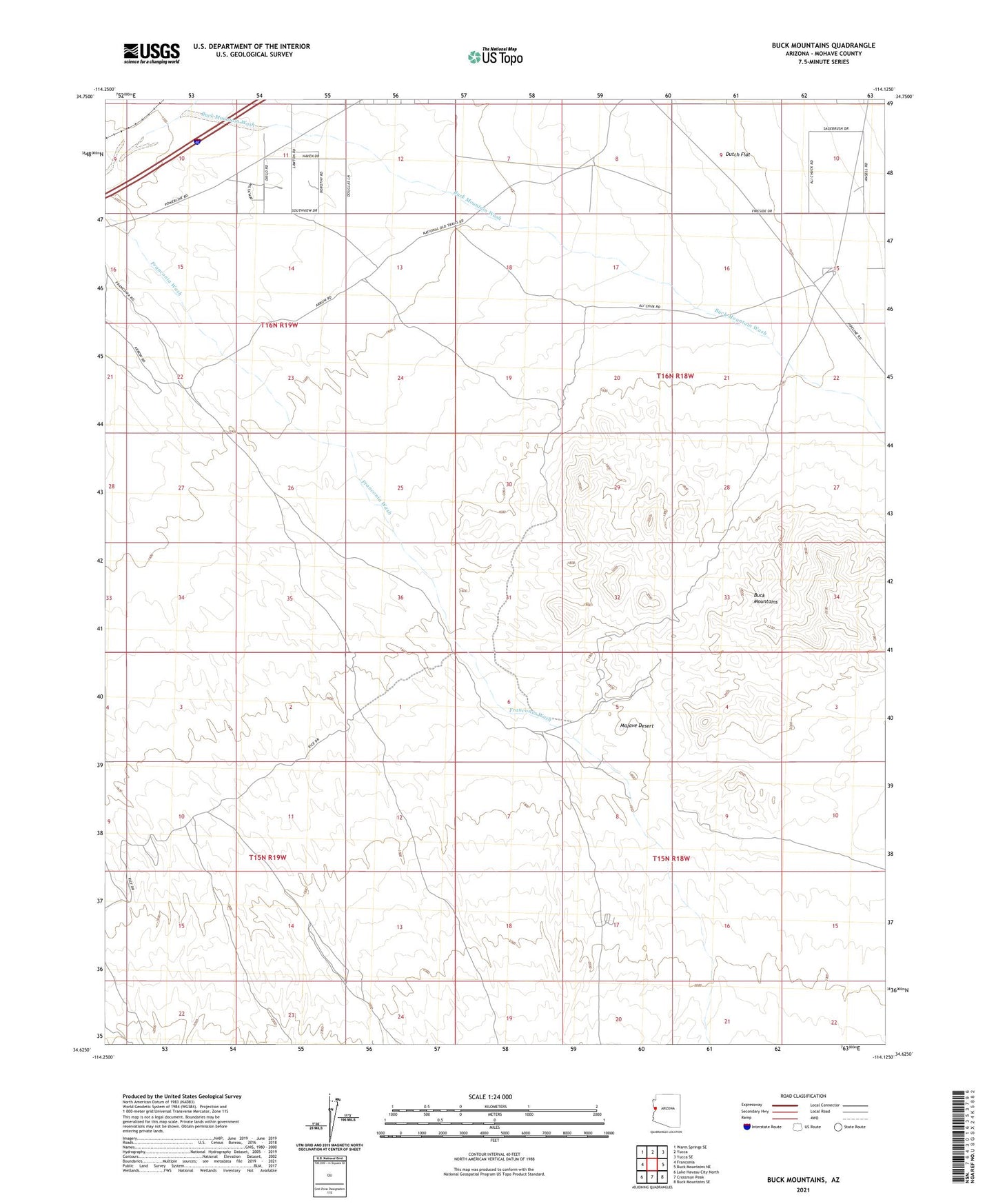
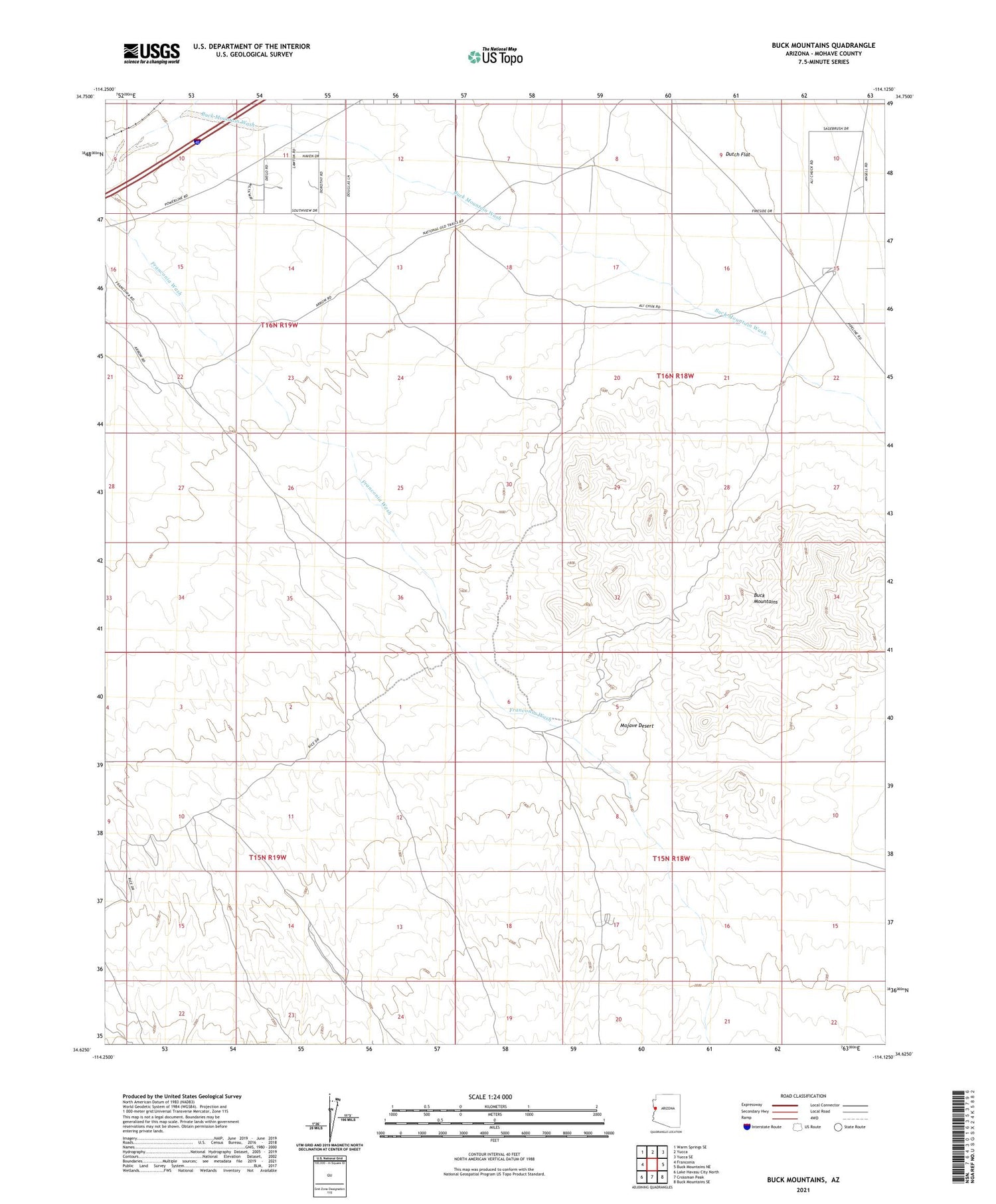
2021 topographic map quadrangle Buck Mountains in the state of Arizona. Scale: 1:24000. Based on the newly updated USGS 7.5' US Topo map series, this map is in the following counties: Mohave. The map contains contour data, water features, and other items you are used to seeing on USGS maps, but also has updated roads and other features. This is the next generation of topographic maps. Printed on high-quality waterproof paper with UV fade-resistant inks.
Quads adjacent to this one:
West: Franconia
Northwest: Warm Springs SE
North: Yucca
Northeast: Yucca SE
East: Buck Mountains NE
Southeast: Buck Mountains SE
South: Crossman Peak
Southwest: Lake Havasu City North
This map covers the same area as the classic USGS quad with code o34114f2.
Contains the following named places: Arizona Yucca Mine, Buck Mountain Wash, Buck Mountains, Ideal Mine, Palo Verde Mine