
MyTopo
Clear Water Spring Arizona US Topo Map
Couldn't load pickup availability
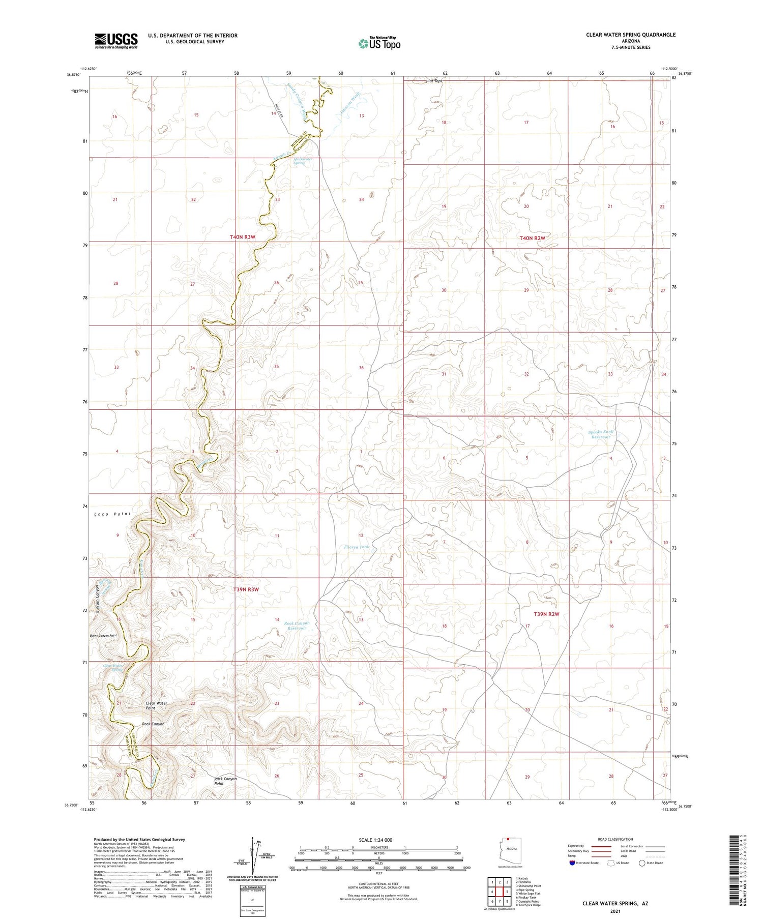
2021 topographic map quadrangle Clear Water Spring in the state of Arizona. Scale: 1:24000. Based on the newly updated USGS 7.5' US Topo map series, this map is in the following counties: Coconino, Mohave. The map contains contour data, water features, and other items you are used to seeing on USGS maps, but also has updated roads and other features. This is the next generation of topographic maps. Printed on high-quality waterproof paper with UV fade-resistant inks.
Quads adjacent to this one:
West: Pipe Spring
Northwest: Kaibab
North: Fredonia
Northeast: Shinarump Point
East: White Sage Flat
Southeast: Toothpick Ridge
South: Gunsight Point
Southwest: Findlay Tank
This map covers the same area as the classic USGS quad with code o36112g5.
Contains the following named places: Booze Crossing, Bulrush Canyon, Bulrush Wash, Clear Water Point, Clear Water Spring, Filarea Tank, Flat Tops, Johnson Wash, Nagles Crossing, Quickwater Spring, Rock Canyon, Rock Canyon Reservoir, Sandy Canyon Wash, Spooks Knoll Reservoir


