
MyTopo
Coal Mine Mesa Arizona US Topo Map
Couldn't load pickup availability
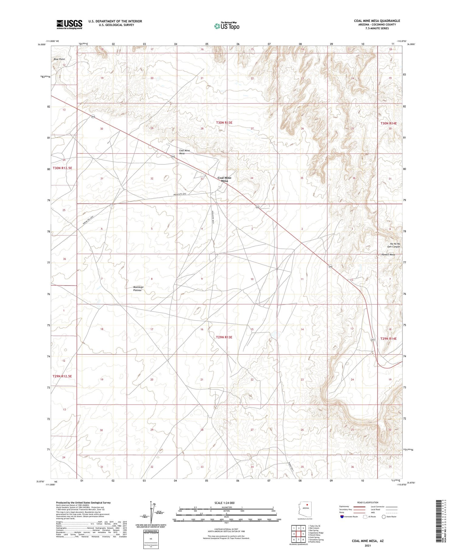
2021 topographic map quadrangle Coal Mine Mesa in the state of Arizona. Scale: 1:24000. Based on the newly updated USGS 7.5' US Topo map series, this map is in the following counties: Coconino. The map contains contour data, water features, and other items you are used to seeing on USGS maps, but also has updated roads and other features. This is the next generation of topographic maps. Printed on high-quality waterproof paper with UV fade-resistant inks.
Quads adjacent to this one:
West: Appaloosa Ridge
Northwest: Tuba City SE
North: Bat Canyon
Northeast: Bat Spring
East: Howell Mesa
Southeast: Padilla Mesa
South: Dinnebito Spring
Southwest: Gold Spring
This map covers the same area as the classic USGS quad with code o35110h8.
Contains the following named places: Beetso Well, Blue Point, Coal Mine Mesa, Coal Mine Mesa School, First Day of Summer Well, RU551


