MyTopo
Tuba City SE Arizona US Topo Map
Couldn't load pickup availability
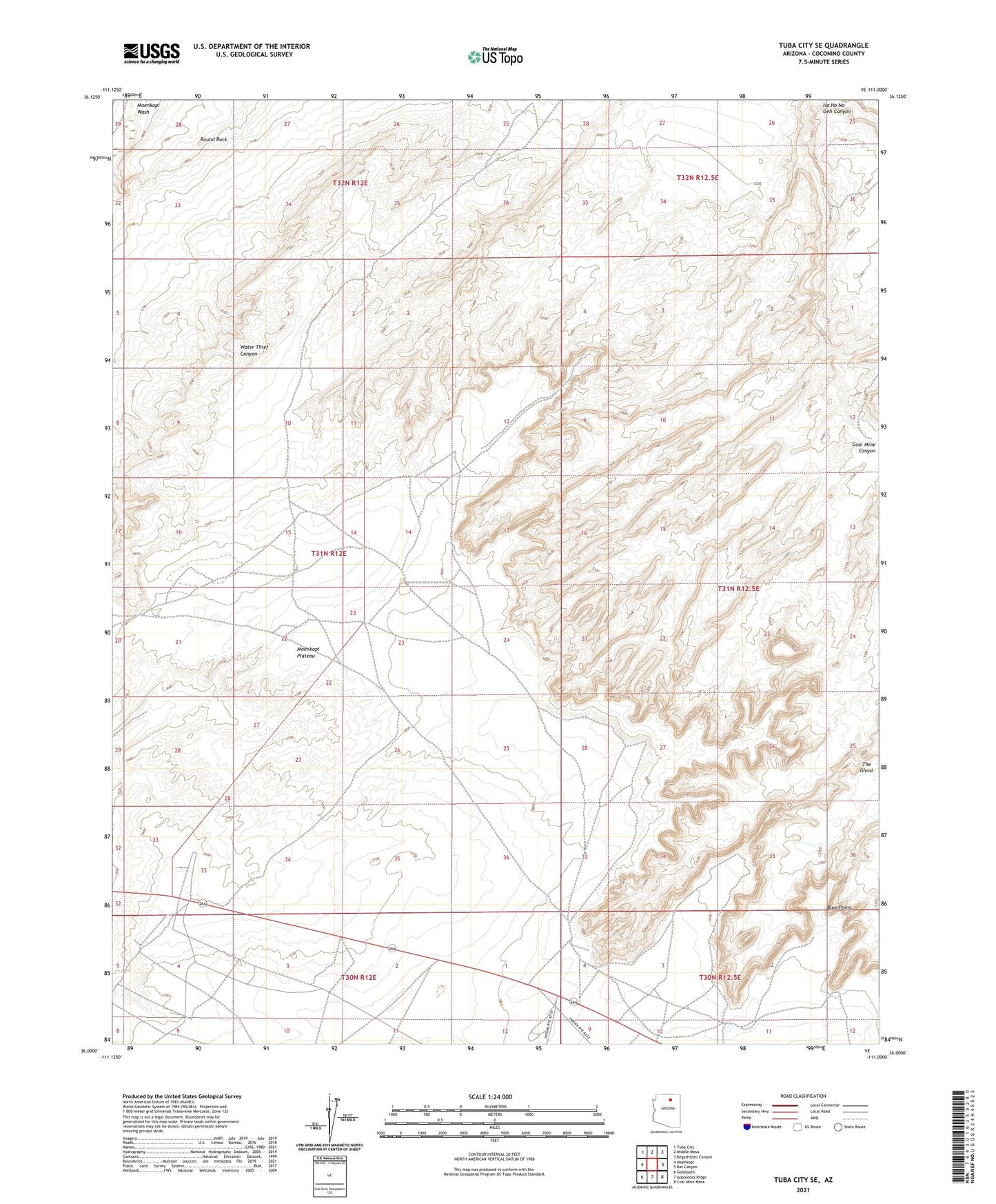
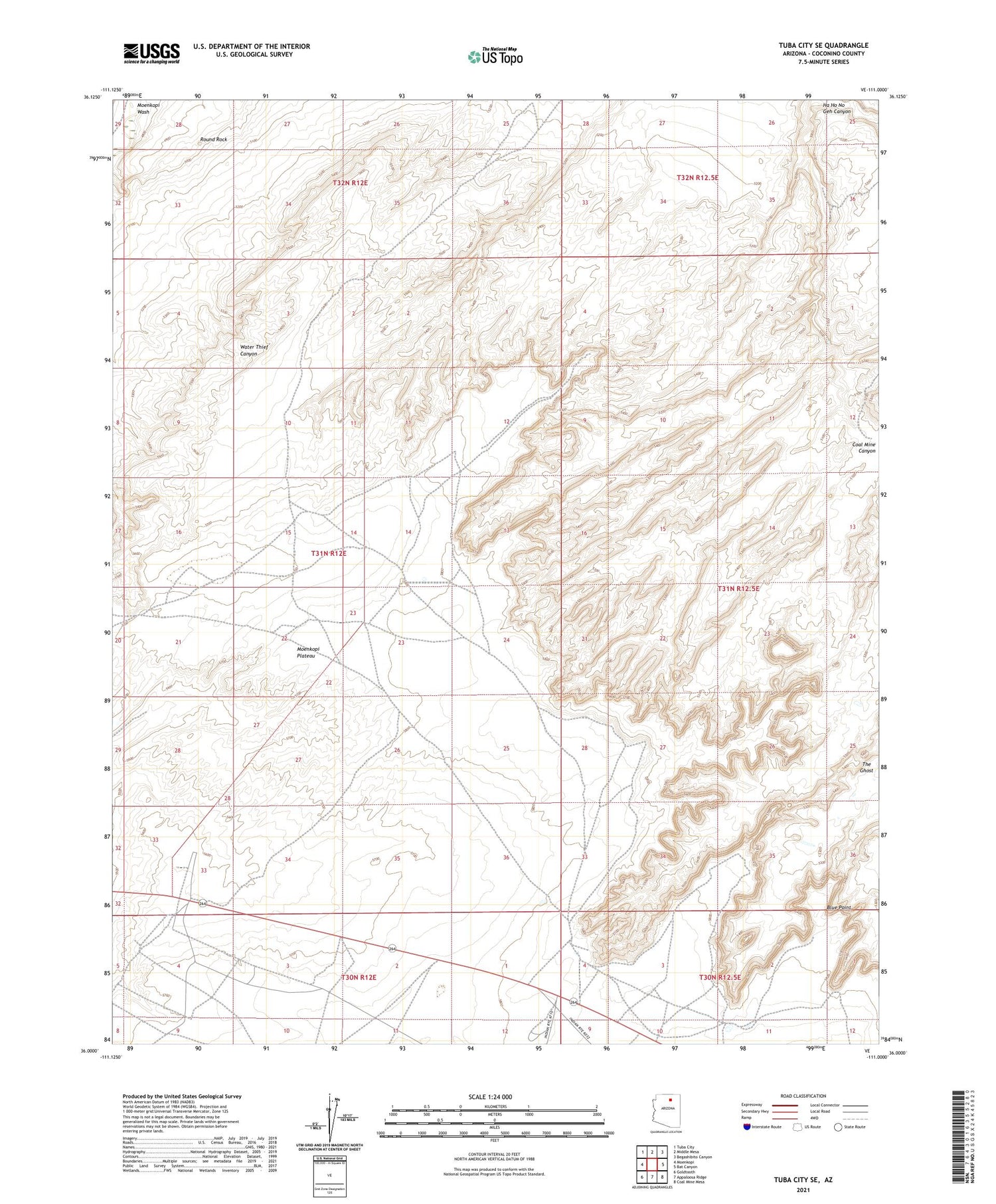
2021 topographic map quadrangle Tuba City SE in the state of Arizona. Scale: 1:24000. Based on the newly updated USGS 7.5' US Topo map series, this map is in the following counties: Coconino. The map contains contour data, water features, and other items you are used to seeing on USGS maps, but also has updated roads and other features. This is the next generation of topographic maps. Printed on high-quality waterproof paper with UV fade-resistant inks.
Quads adjacent to this one:
West: Moenkopi
Northwest: Tuba City
North: Middle Mesa
Northeast: Begashibito Canyon
East: Bat Canyon
Southeast: Coal Mine Mesa
South: Appaloosa Ridge
Southwest: Goldtooth
This map covers the same area as the classic USGS quad with code o36111a1.
Contains the following named places: Blue Point, Coal Mine Rodeo Grounds, Coal Mine Well, Coalmine Canyon Campground, Round Rock, The Ghost, ZIP Code: 86045