MyTopo
Copperosity Hills Arizona US Topo Map
Couldn't load pickup availability
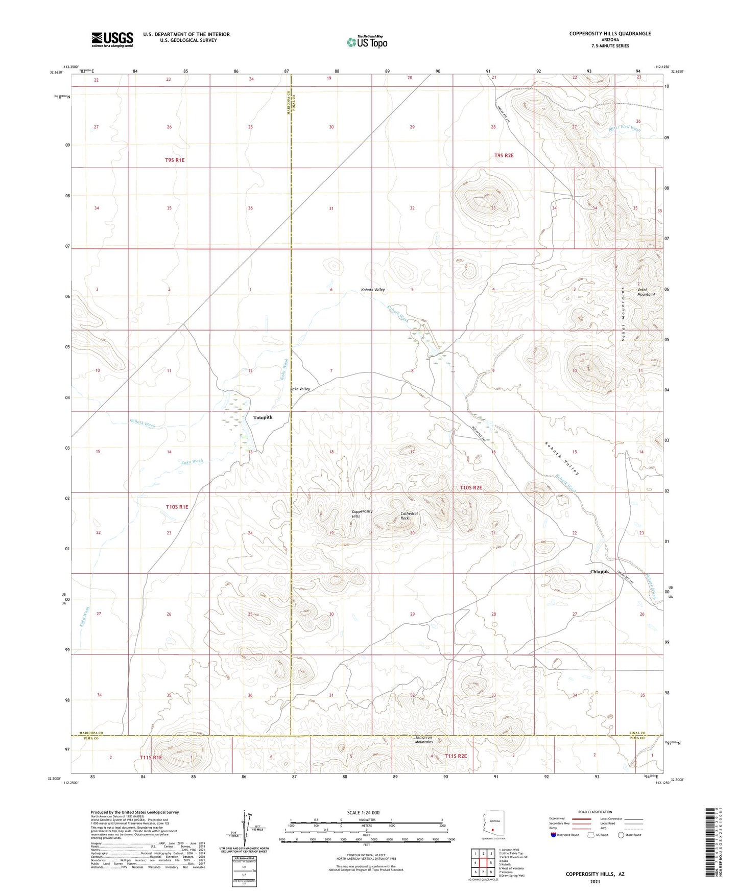
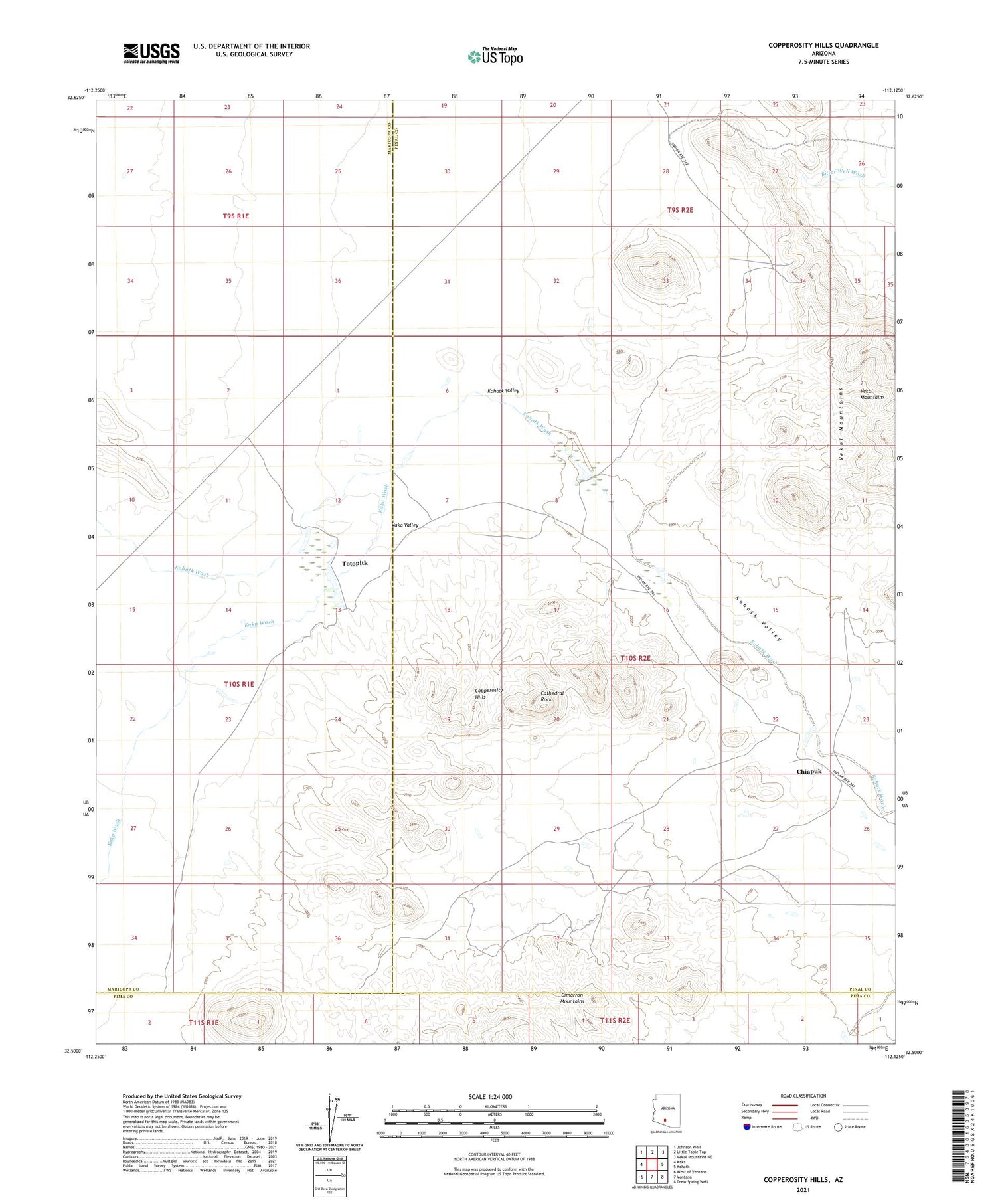
2021 topographic map quadrangle Copperosity Hills in the state of Arizona. Scale: 1:24000. Based on the newly updated USGS 7.5' US Topo map series, this map is in the following counties: Pinal, Maricopa, Pima. The map contains contour data, water features, and other items you are used to seeing on USGS maps, but also has updated roads and other features. This is the next generation of topographic maps. Printed on high-quality waterproof paper with UV fade-resistant inks.
Quads adjacent to this one:
West: Kaka
Northwest: Johnson Well
North: Little Table Top
Northeast: Vekol Mountains NE
East: Kohatk
Southeast: Drew Spring Well
South: Ventana
Southwest: West of Ventana
This map covers the same area as the classic USGS quad with code o32112e2.
Contains the following named places: Cathedral Rock, Chiapuk, Copperosity Hills, Copperosity Mine, Great Eastern Mine, Greenback Camp, Greenback Mine, Kaka Valley, Kaka Wash, Papago Mine, Totopitk, Vekol Mine